Fisher Lake–Quiet backcountry lake beyond Tonga Ridge

Quick Facts:
Location: Skykomish Valley
Land Agency: National Forest Service
Round Trip: 10.0 miles
Elevation Gain: 1350 feet
Contact: Skykomish Ranger District, Mount Baker-Snoqualmie National Forest
Green Trails Maps: Alpine Lakes West Stevens Pass No 176S
Notes: Northwest Forest Pass or Interagency Pass required
Access: Follow US 2 east to Skykomish. Then continue east for 1.9 miles and turn right onto Foss River Road (FR 68). Continue for 3.6 miles turning left onto FR 6830. Proceed for 6.9 miles and bear right onto Spur Rd 310. After 1.4 miles reach trailhead at road end.
Good to Know: exceptional wildflowers, dog-friendly, Wilderness rules apply; Practice Leave No Trace Principles, Backpacking possible
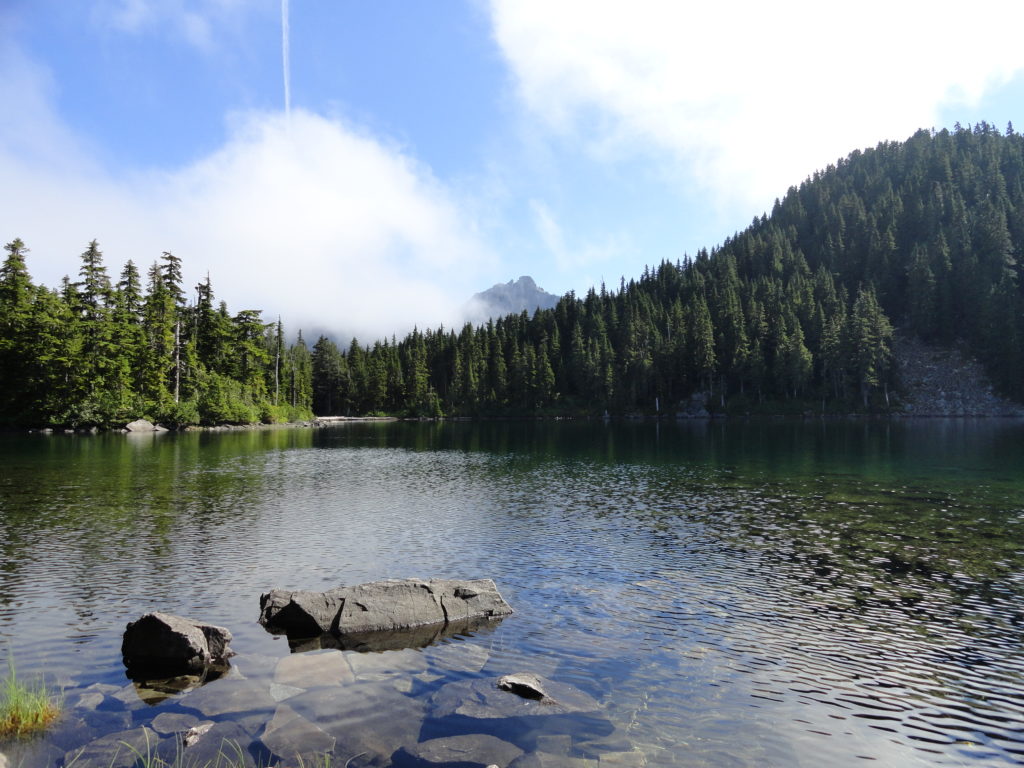
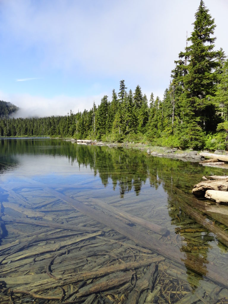
Fisher Lake sits snug in a forested bowl high above the deep dark Deception Creek Valley. “Discovered” by anxious anglers, the trail to the lake was never officially built. Therefore it’s a little rough going. But that’s a good tradeoff for a little peace and quiet.

Start by following the popular Tonga Ridge Trail. It’s an easy and delightful romp across subalpine forest and meadows. Enter the Alpine Lakes Wilderness and pass the unmarked trail leading left to Mount Sawyer. On a pretty level course, skirt around the three prominent summits of Tonga Ridge. In autumn bountiful berry bushes and clusters of mountain ash set this ridge on fire with shades of crimson.
At just over 3.0 miles come to an unmarked four-way junction in the pool pocked flat known as Sawyer Pass. The path left heads for the open slopes of Tonga Ridge’s 5,596-foot high point. The trail forward descends to reach the Deception Creek Trail.
The trail you want to take veers right. Following it however may be a little challenging at first with its myriad of side trails to campsites and berry patches. Try to stay on the most boot-beaten path. You’ll know if you’re on the right path if after a quarter mile you begin a steep rocky climb.
Crest a 5,000-foot ridge and then gently traverse rolling parkland graced with glades of old-growth hemlock and reflecting pools. After crossing an open flat, climb again. It’s a steep grunt up to a 5,150-foot crest. Your payoff is nearing. Now gradually descend crossing creeks and traversing beautiful groves of yellow cedars. Several paths divert to hidden pools and points unknown. Keep to the most boot-beaten way. At 4.75 miles reach the heavily forested shore of Fisher Lake. Continue for another .25 mile to an opening near the lake’s outlet for a good spot for soaking feet, the sun’s rays, and the surrounding soothing scenery.
For more detailed information on this hike and many more along the US 2 Corridor, pick up a copy of my Day Hiking Central Cascades 2nd edition!
