Coldwater Lake– Saunter through a healing landscape exploding with wildflowers!
Quick Facts:
Location: Mount St. Helens National Volcanic Monument
Land Agency: US Forest Service
Roundtrip: 9.0 miles
Elevation Gain: 550 feet
Contact: Mount St Helens National Volcanic Monument
Green Trails Map: Green Trails Mount St Helens 332S
Notes: Northwest Forest Pass (or interagency pass) required; No dogs; Trail open to bikes: Off trail travel prohibited
Access: From Castle Rock follow SR 504 east for 45 miles turning left into the Coldwater Lake Recreation Area. Continue .4 mile bearing left to boat launch and trailhead.
Good to Know: Kid-friendly, exceptional wildflowers, Practice Leave No Trace Principles
Recommended Guidebook: Day Hiking Mount St Helens
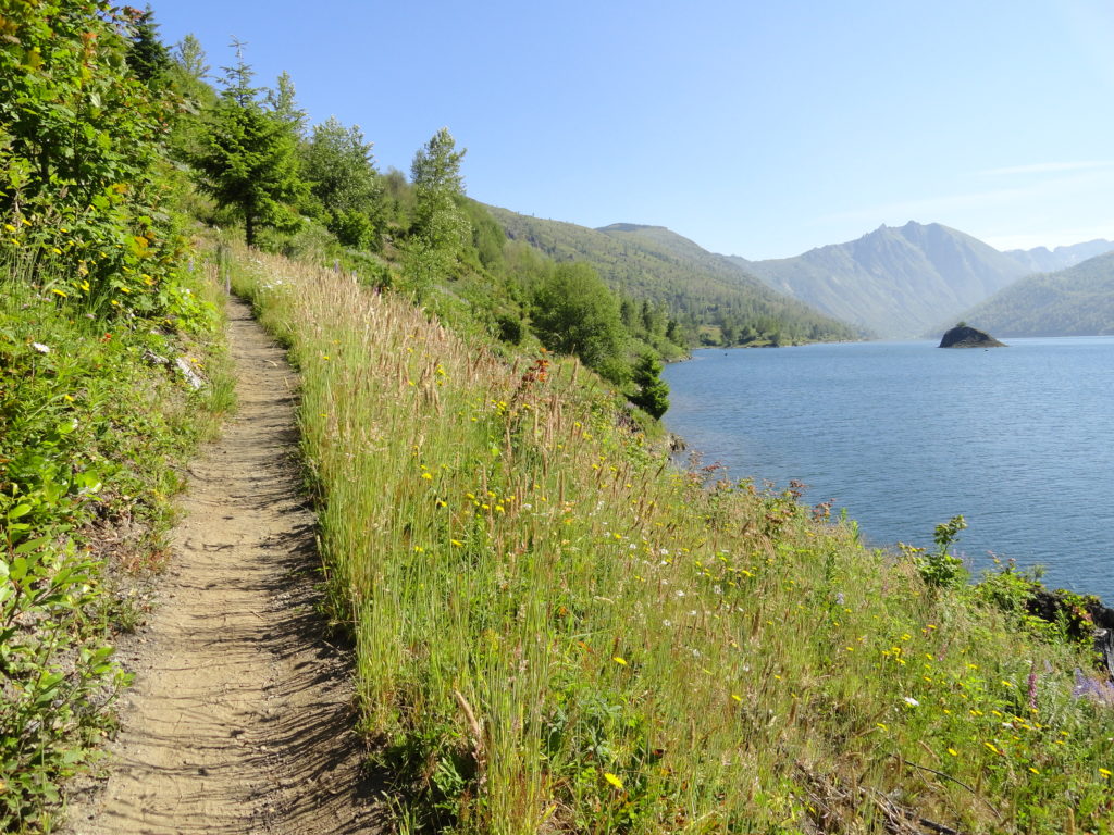
Wander through carpets of dazzling wildflowers along the shoreline of the monument’s second largest lake. Formed when debris and earth from the 1980 eruption dammed Coldwater Creek, Coldwater Lake is now over four miles long and 200 feet deep. Wildlife is prolific and views are nonstop on this rolling lakeshore trail.
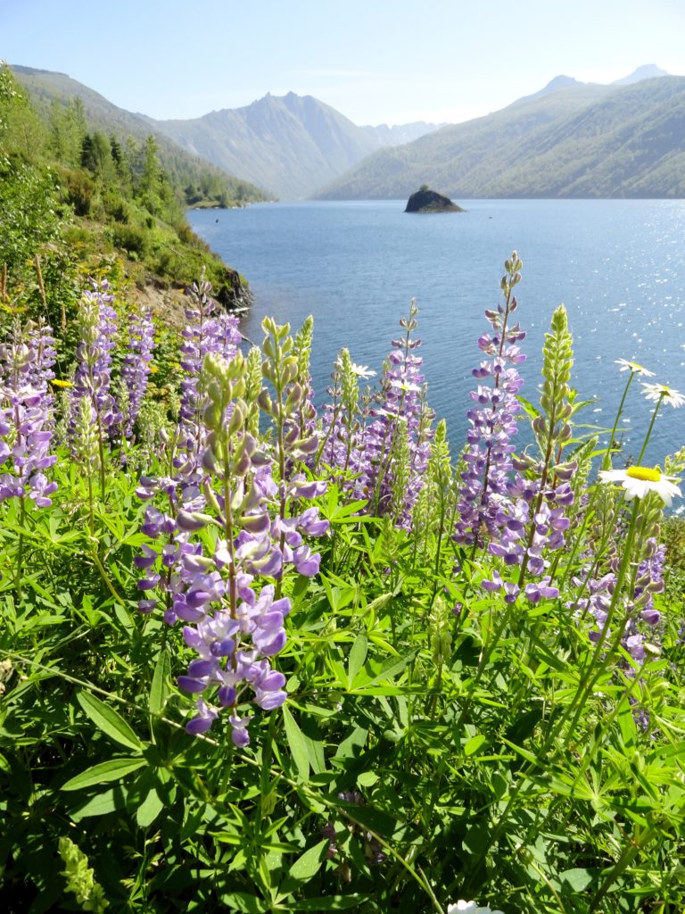
Follow the Lakes Trail along massive Coldwater Lake. Hike through former clear-cuts and across the blast zone. Once a devastated landscape, now enjoy flowered slopes and shady emerald groves of alders, willows, and cottonwoods. The way gains no net elevation but plenty of cumulative elevation is racked up along the way rolling up and down bluffs and ledges.
Throughout the hike enjoy good viewing of surrounding Coldwater Peak and the stark southern face of Minnie Peak. Pass the Elk Bench Trail which climbs left to the former Coldwater Science and Learning Center. Continue right reaching a wonderful lakeside spot at water’s edge at 1.1 miles. This is perfect spot to call it a hike if out with young children.
Otherwise keep hiking passing some fallen giant firs, reminder of the grand forest that once grew here. Cross the first of many creeks too, eventually coming to one donning a pretty waterfall. Next skirt some cliffs before climbing across some steep ledges high above the lake. Use caution here as the drop off is steep.
Descend and cross another series of creeks reaching a wide rocky outwash. Follow cairns across the open rocky and sandy terrain eventually coming to a daisy dotted flat at lake level. The trail continues, reaching the lake’s marshy eastern end. Look for beaver activity here among the alder thickets. Now following Coldwater Creek the way begins to climb reaching a junction with the Coldwater Trail at 4.5 miles. This is a good spot to turn around—but before doing so just walk a short distance south on the Coldwater Trail to a sturdy bridge spanning the thundering creek. Admire it cascading through a tight chasm—then cast your eyes upward to stone gargoyles peering down upon you from stark faced Minnie Peak.
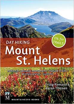
For detailed information on this hike and nearly 100 others in and around Mount St. Helens, consult my (co-written with Aaron Theisen) Day Hiking Mount St. Helens (Mountaineers Books). This guide is the most comprehensive book to Mount St. Helens, covering every trail in the monument including winter trails. Pick up your copy today!
For information on other things to do in the area and on where to stay, consult Northwest TripFinder.

For information on some great programs and events going on at the monument, check out the Mount St. Helens Institute