Deer Ridge–Enjoy dear views of the Gray Wolf River Valley

Quick Facts:
Location: Northeast Olympic Peninsula
Land Agency: Olympic National Forest and Olympic National Park
Roundtrip: 10.0 miles
Elevation gain: 2800 feet
Contact: Hood Canal Ranger District, Olympic National Forest; and Olympic National Park
Green Trails Map: Olympics East no. 168SX
Notes: Dogs are prohibited on trail in the national park
Good to Know: dog-friendly (partially); exceptional wildflowers
Access: From Sequim, head west 2.5 miles on US 101. Turn left onto the Taylor Cut-off Road (1st left after crossing the Dungeness River). In 2.6 miles, bear right onto Lost Mountain Road. In another 2.6 miles turn left onto dirt FR 2870. After one mile enter Olympic National Forest and come to a junction. Bear right on FR 2875 and in 3.5 miles come to trailhead.
Notes: NW Forest or Interagency Pass required

You can drive to Deer Park via a long dirt road from Port Angeles. So why hike this somewhat steep trail? Well, if you have to ask—here are five good reasons:
- Access to Deer Park when the road is closed.
- Wildflowers along this trail grow in profusion, in both numbers and varieties.
- Near solitude for most of the way—especially when the road is closed
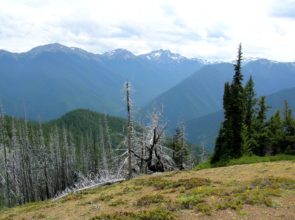
- Spectacular views of the entire Gray Wolf River Valley and its towering peaks.
- You’ll earn it all—and burn some decent calories; something you don’t do from the seat of an SUV.
So, shall we begin? From the old Slab Camp site the trail starts out gently through a dry Douglas-fir forest, layered with rhododendrons, and carpeted by salal and kinnickinnick. After about 1.5 miles the way steepens. Pass a spring—the only water source on the trail (after snow melt). Reach an open rib and your first breathtaking views of the Gray Wolf Valley. A bench has been placed here in memory of a longtime trail volunteer.
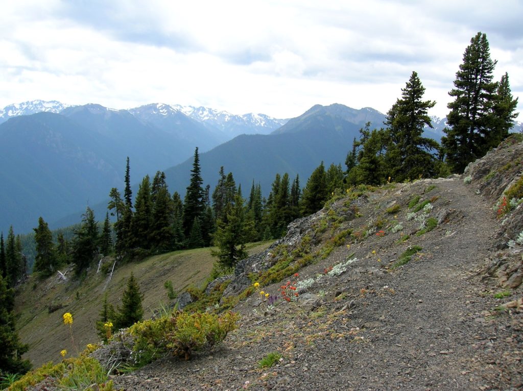
Now, through open forest and dry rocky slopes the trail reaches higher. At 3.3 miles enter Olympic National Park (elev. 4,800 feet). If you have your dog with you—this is the end of the hike for you guys. The next 1.6 miles is through some of the most scenic hiking terrain in the Olympics. Through parklands, meadows, and basalt outcroppings, the trail weaves its way to Deer Park, delivering breathtaking views at every bend in its course. Gaze out to barren Baldy and Gray Wolf Peak. Admire the jagged peaks of Mounts Walkinshaw, Clark, Deception, and Mystery—some of the loftiest summits on the Peninsula.

Peer down into the emerald valleys of the Gray Wolf River, and the Grand and Cameron Creeks; to some of the largest concentrations of old-growth forests in the Olympics. And at your feet? If it’s summer, flowers! Find arnica, phlox, pearly everlasting, stonecrop, chocolate lily, paintbrush, columbine, yellow violet, wallflower, buttercup, cinquefoil, rockslide larkspur, and many more. And deer? There will probably be several waiting for you in the parkland meadows near trail’s end at appropriately named Deer Park.
Walk around the campground (or spend the night); or walk 0.8 mile up the road to the 0.5 mile nature trail on 6007 foot Blue Mountain for even better views. Return when you must.

Deer Ridge is one of 136 featured hikes in my bestselling Day Hiking Olympic Peninsula guidebook 2nd edition. For more details on this hike and others, pick up a copy of this book—the most trusted guidebook on hiking in the Olympics—today!
For information on where to stay and on other things to do on the Olympic Peninsula, check out Northwest TripFinder

Awesome directions and description. Thanks! This is a favorite early-season trail for first wildflowers. The trail surface is fairly smooth and ascendeds steadily but not murderously, which makes it a good warm-up hike for calves.