Cutthroat Lakes– Hike to a set of beautiful tarns beneath Bald Mountain

Quick Facts:
Location: Mountain Loop Highway
Land Agency: Mount Baker-Snoqualmie National Forest; Washington Department of Natural Resources
Roundtrip: 6.0 miles
Elevation gain: 1,700 feet
Green Trails Maps: Mountain Loop Highway 111SX
Recommended Resource: Day Hiking North Cascades (Romano; Mountaineers Books)
Contact: Darrington Ranger District: Mount Baker-Snoqualmie National Forest
Notes: access road is narrow and parking is limited.
Access: From Granite Falls follow the Mountain Loop Highway east for 18 miles turning right onto FR 4030 (turnoff is just before Red Bridge). Continue for 1.4 miles turning right onto FR 4032 and proceed for 5.7 miles to trailhead at road end.
Good to Know: old-growth; dog-friendly; backpacking opportunities; no fires, practice Leave No Trace principles, don’t be a surface pooper, can the tunes
From the edge of an old cut on Mallardy Ridge, enter mature forest and begin an up-and-down rough-and-tumble at times journey through stands of impressive timber and bountiful berry patches. At about 1.0 mile enter WA DNR’s Morning Star Natural Resource Conservation Area (NRCA), an area off limits to logging and road building. Consisting of over 33,500 acres, this NRCA protects exceptional habitat and is home to marbled murrelets and northern spotted owls. The area is particularly noted for its heavy precipitation and cool temperatures which allow for subalpine plants to grow and thrive at much lower elevations than in other areas of the Cascades.
After reaching a 3,640-foot high point, the trail drops 200 feet to cross a tributary of Boardman Creek in parkland meadows. Lose another 100 feet

afterwards skirting cliffs and crossing a rocky avalanche slopes. The going can be a little rough here with rocky terrain. Take your time and look for cairns to help keep you on course.
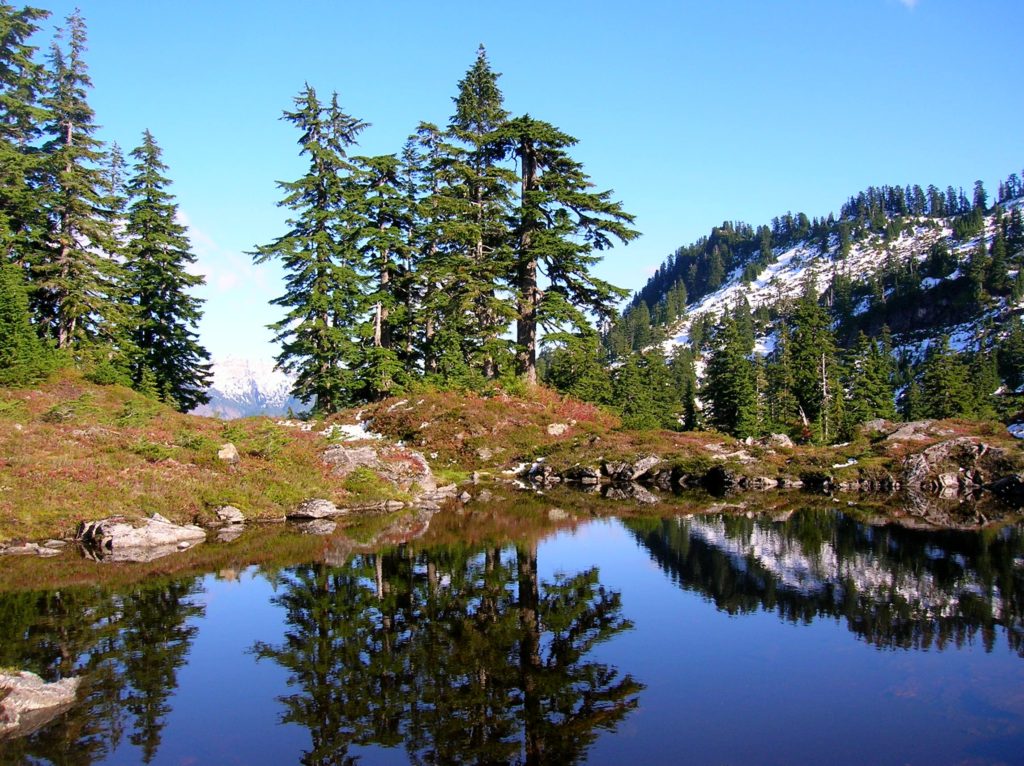
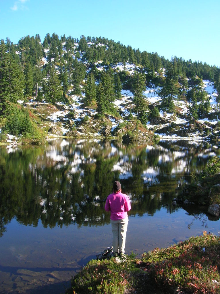
Then start climbing again—steeply—reaching the first of the Cutthroat Lakes (el. 4200 feet), a series of small tarns surrounded by heather meadows tucked beneath the long ridge of Bald Mountain. Campsites dot the area, and social paths diverge in every direction. Treat the fragile heather meadows with care here. After admiring reflecting peaks in the lakes’ placid waters consider extending your hike. The trail continues another mile climbing 600 more feet to connect with the Bald Mountain Trail. From here you can amble for a half mile through gorgeous meadows providing breathtaking views out over Puget Sound to Mount Rainier, and directly below to the Spada Reservoir and the Sultan Basin. Bald Mountain’s 4,851-foot rocky summit however, requires some scrambling.
Upon returning, consider that this gem of a trail was built by Walt Bailey and his Civilian Conservation Commission (CCC) buddies. But, not back in the 1930s. They constructed the trail in the 1990s, when they were in their 70s!

For more detailed information on this trail and many others along the Mountain Loop Highway, pick up a copy of my bestselling Day Hiking North Cascades Book.