Sherman Peak Loop– In general, the views are great

Quick Facts:
Location: Kettle River Range, Ferry County
Land Agency: National Forest Service
Roundtrip: 6.0 miles
Elevation gain: 1200 feet
Contact: Colville National Forest, Republic Ranger District
Notes: Hunting season has begun, wear orange
Access: From Republic, head east on SR 20 for 16.8 miles to Sherman Pass. Turn left and follow access road .1 mile to trailhead. If coming from Kettle Falls, follow SR 20 west 26 miles to Sherman Pass.
Good to Know: dog-friendly, exceptional wildflowers, exceptional views, kid-friendly, exceptional autumn colors
On the Trail
This loop allows you to enjoy striking views of a landscape struck by the forces of nature. Follow this loop full-circle around 6998-foot Sherman Peak and discover this mountain’s two contrasting sides; a forest of lush green old-growth, and one scorched by wildfire leaving a surrealistic landscape of silver snags. In summer Sherman bursts with wildflowers. Come autumn its larches streak its slopes in gold.
Easy access, being a loop, and having plenty of nice views makes this hike one of the more popular ones in the Kettle River Range. From the trailhead, head left on the Kettle Crest Trail quickly coming to a junction with the Sherman Pass Trail and the Sherman Pass Tie trail. For Sherman Peak, continue right dropping steeply into a cool, wet, tight ravine. Then climb out of it coming to SR 20. The trail resumes on the other side of the highway; be careful crossing the road.
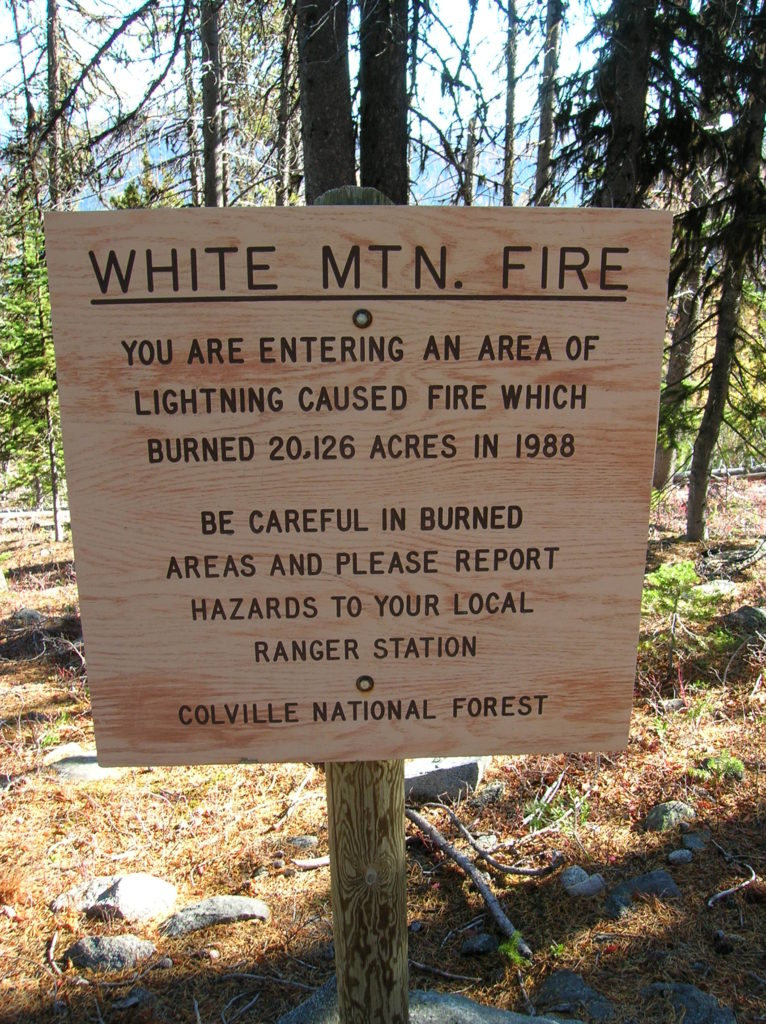
In cool larch and lodgepole pine forest, gently climb winding around granite ledges and passing window views east. At 1.0 mile, come to a junction. You’ll be returning right on the Sherman Peak Loop Trail, so continue left on the Kettle Crest Trail. After skirting beneath a large talus slope reach the edge of the 1988 White Mountain Fire burn zone. This lightening caused fire burned over 20,000 acres of timber. But now over 35 years since much of the surrounding slopes went up in flames, new green growth has crowded out the silver snags and overtaken the blackened logs left in the fire’s wake.
Begin a long sweeping traverse of Sherman’s eastern ridge. Pause frequently to take in breathtaking views of the Sherman Creek Valley. Come October, the normally deep emerald valley is laced with soft yellow patches thanks to stands of western larches. After cresting the ridge in a small saddle, traverse Sherman’s southern slopes taking in excellent views south. The trail climbs higher upon Sherman, but doesn’t go to its pyramidal summit. It’s an easy scramble however to the summit if you feel inclined to peak bag.
At 3.2 miles, come to a junction. Head right on the Sherman Loop Trail crossing gorgeous meadows and savoring sweeping views west across snaking highway twenty to the Okanogan Highlands and North Cascades. The way then descends at a good clip to reenter forest before wrapping around the north side of Sherman Peak. Skirt beneath a scree slope and by little Sherman Pond, one of the few ponds located within this mountain range. Cross its outlet and shortly afterward reach a familiar junction to close the loop. Turn left and return to your vehicle in one mile. General William Tecumseh Sherman (of Civil War fame, who this peak is named for) once said “War is Hell,” but up here on the Kettle Crest, it’s nothing but heaven.
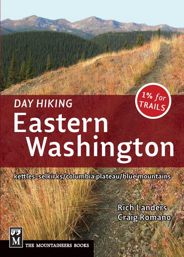
For more information on this hike (including maps) and many others in the Kettle River Range, consult my ((co-written by Rich Landers) Day Hiking Eastern Washington guidebook (Mountaineers Books).
For more information on things to see and do in Northeastern Washington, consult Northwest Tripfinder.