Quartz Creek–Hike through a majestic primeval forest along a crystal clear creek
Quick Facts:
Location: North Fork of the Skykomish River
Land Agency: Mount Baker-Snoqualmie National Forest
Roundtrip: 8.6 miles
Elevation gain: 1450 feet
Green Trails Maps: Monte Cristo, WA-No. 143
Contact: Skykomish Ranger District: Mount Baker Snoqualmie National Forest
Notes: Northwest Forest Pass or Interagency Pass required.
Access: The North Fork Skykomish River Road from Index, the normal approach for this hike is currently closed due to washouts. However, trail can be accessed from Skykomish via Jack Pass. From Everett head east on US 2 for 50 miles to just beyond Skykomish turning left onto the Beckler River Road (FR 65). Continue north for 15.0 miles to a junction just after crossing the North Fork Skykomish River. Turn right onto FR 63 proceeding 4.3 miles to road’s end and trailhead.
Good to Know: exceptional old-growth; dog-friendly, solitude, wilderness rules apply
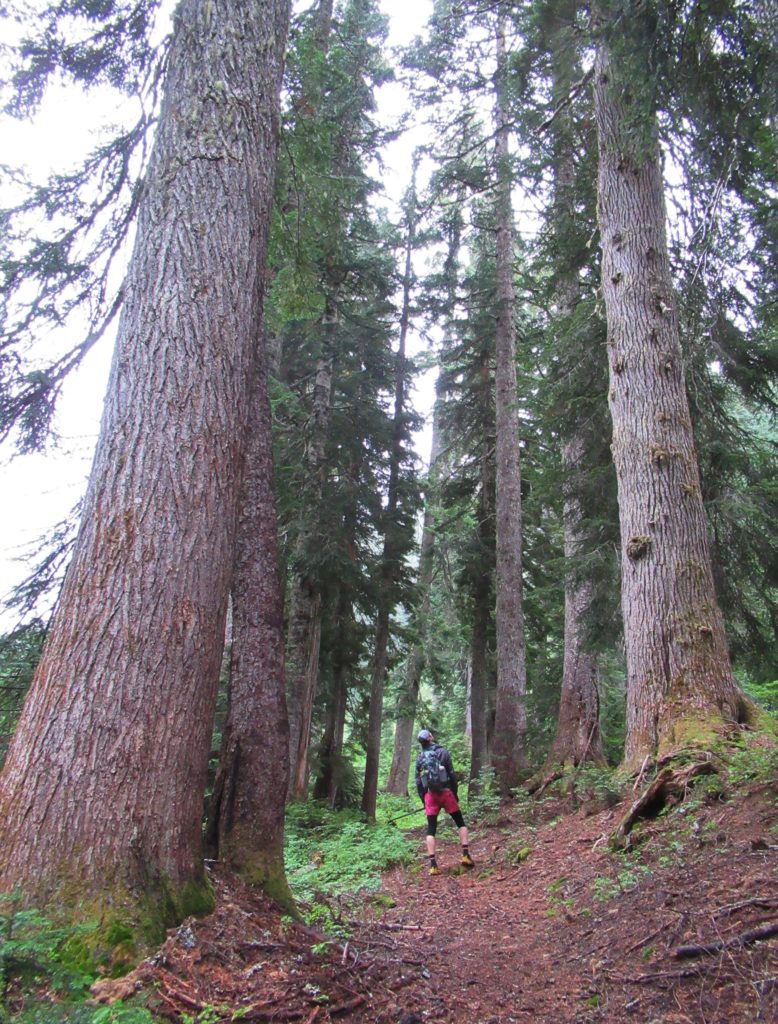
Enjoy a lonely walk on a charming trail through one of the finest stretches of old-growth forest anywhere in the Cascades. Marvel at magnificent trees many stories high and many centuries old. Lightly traveled but well maintained, the Quartz Creek Trail is one of the easiest hikes in the North Fork Skokomish Valley. On its slightly more than four mile journey to Curry Gap you’ll gain only a measly 1,450 feet of elevation.
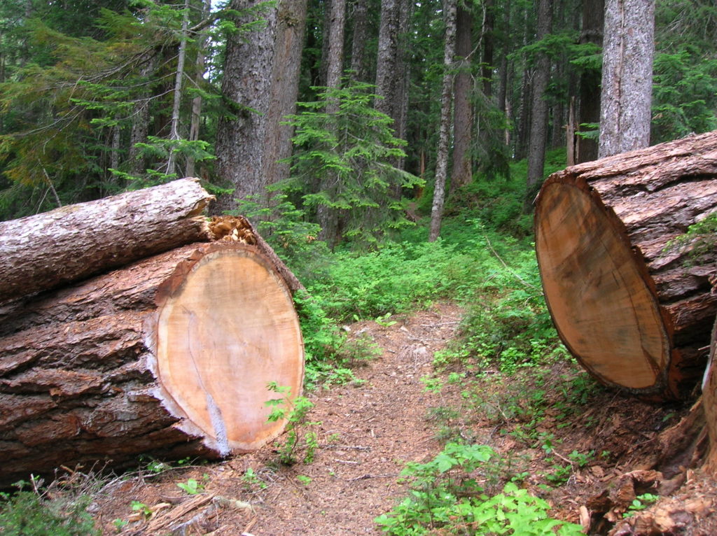
Immediately enter glorious primeval forest. Gently winding up the valley beneath a canopy supported by ancient Douglas firs, western red cedars and western hemlocks, the trail soon enters the Henry M. Jackson Wilderness. Dwarf dogwood carpets the forest floor while huckleberry adds a tasty element to the understory.
While not always visible, Quartz Creek remains audible along the way crooning soothing arias in this sacred natural cathedral. Side creeks add their harmonies. At about 2.5 miles the trail crosses a creek beside a deep pool fed by a tumbling cascade. It may be impossible to ford during heavy rainfall, but by late summer it is usually just a rock hop across. If you can get safely across this creek continue up valley now gaining elevation more steadily.
After traversing an open boggy area, gaps in the forest begin providing nice views west of the impressive Monte Cristo block of peaks. At 4.3 miles enter 3,950-foot Curry Gap, a low-lying pass of meadow and mountain hemlock. Here the trail ends at a junction. If you’re up for a longer adventure you can turn right and head to Bald Eagle Peak and beyond. Otherwise, turn around here and enjoy the ancient trees and wilderness waterway once more.
For more detailed information on this hike and many others nearby, consult my Day Hiking Central Cascades Book.