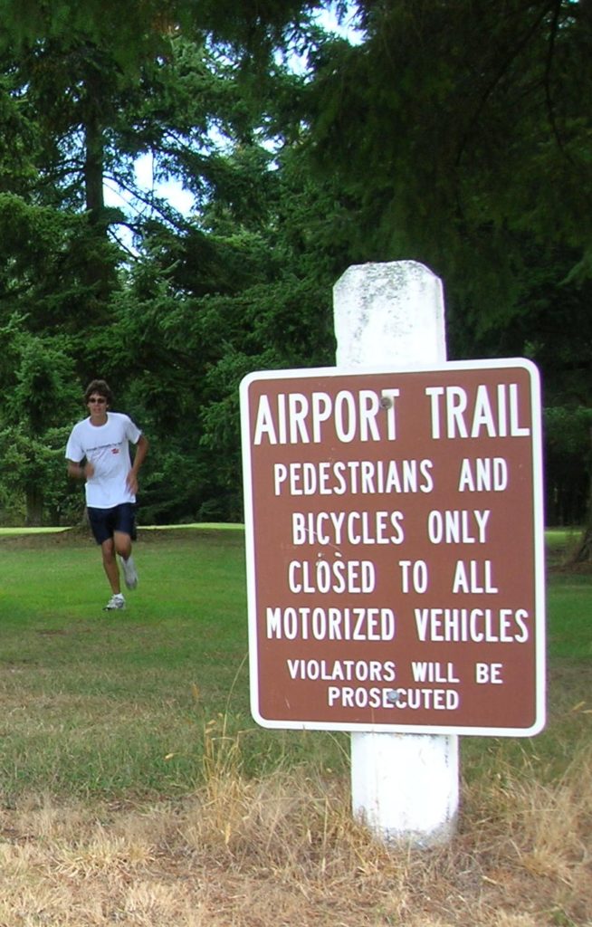
Arlington Airport Trail–Come Fly with Me on a walk around an historic airport
Quick Facts:

training on the Airport Trail.
Location: Arlington
Land Agency: City of Arlington
Roundtrip: 5.5 miles
Elevation gain: 50 feet
Difficulty: Easy
Contact: Arlington Airport Commission
Notes: Dogs must be on leash
Access: From Everett, head north on I-5 to Exit 206. Continue east on SR 531 (172nd Street NE) for 1.4 miles. Turn left onto 59th Avenue NE and proceed for one mile to airport parking near Bill Quake Memorial Park. Trail can also be accessed from Airport Boulevard and 188th Street NE.
Good to know: kid-friendly, dog-friendly, historic, interpretive
Note: During the Stay At Home order addressing the COVID19 Pandemic, you are allowed to get outside to walk, run or hike–but you should only access local parks that are open.
Stay Local, Stay 6 Feet Apart (Social-Distancing), and if you arrive and it is crowded, go elsewhere. Help Flatten the Curve.

The Arlington Airport Trail isn’t exactly a walk in the woods, but it’s no city walk either. This mostly soft surface trail offers a nice place to get a long hike or run in close to the thriving northern Snohomish County communities of Arlington and Marysville. The trail is nearly level, perfect for kids, and dog-friendly too. There are some nice wooded sections, some fields, and if you’re into aviation history (something Snohomish County is noted for)—you’ll be flying high here! There are nine interpretive signs along the trail to enlighten you about this little municipal airport’s interesting past.
The airport was built in 1934 by the Works Progress Administration (WPA) and was used primarily by private fliers, aerial circuses and the Forest Service for transporting supplies to fight fires. In 1940 the US Navy leased the airport as an auxiliary air station. The runways were expanded to accommodate bombers during the outbreak of World War II. At one time personnel at the airport included over 700 officers and over 2,200 enlisted men. A third runway was constructed in 1945 along with several magazines.

After the war, the airport was used primarily as an emergency landing field for NAS Whidbey. By 1959 it was no longer used by the military and became municipal property. It was a popular spot for drag racing during the 1950s and 60s. But the activity was soon banned as the airport became a busier place for private and cargo planes. Plan on taking some time along the way at the interpretive signs; they contain lots of great old photos.
The trail pretty much heads around the periphery of the airport making a 5.5 mile loop. It’s a great urban hike or excellent running course. It parallels a couple of busy roads but also traverses some quiet groves of mature timber. It also consists a paved section Airport Boulevard. It’s nearly level with a few little dips around the northern limits of the airport. And because you are hiking through a large open area, there are some expansive views of the wooded foothills north and peaks south including Mount Rainier. Of course, various aircraft will more than likely be taking off and landing while you are out hiking.

For detailed information on the Arlington Airport Trails and many others throughout Western Snohomish County, Whidbey Island and Camano Island; Pick up a copy of my Urban Trails Everett Book (Mountaineers Books).
Thanks for supporting my work so that I may continue to bring you accurate detailed trail information and thanks for supporting a local non-profit publishing firm.