Wapaloosie Mountain–a wapaloosie of a peak indeed!

Location: Kettle River Range
Land Agency: National Forest Service
Roundtrip: 6.0 miles
Elevation gain: 2,000 feet
Contact: Colville National Forest
Access: From Republic, head east on SR 20 for 21 miles turning left onto FR 2030 (Albion Hill Road). From Kettle Falls, head west on SR 20 for 22 miles, turning right onto FR 2030. Follow FR 2030 for 3.3 miles to trailhead at small campground.
Good to know: exceptional wildflowers, sweeping views, dog-friendly, kid-friendly, Practice Leave No Trace Principles
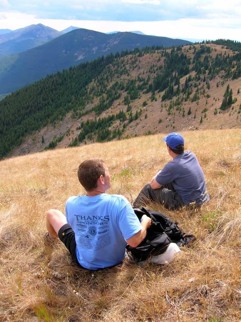
One of the highest summits on the Kettle Crest, 7,018-foot Wapaloosie Mountain offers extensive views and some of the finest alpine meadows within the Columbia Highlands. The trail traverses one of the region’s most dramatic plant communities, slopes of sage brush interspersed with pine and fir groves. And thanks to a southeastern exposure, the trail usually melts out by mid-spring; when arrowleaf balsamroot speckles the mountainside bright yellow.

Beginning in a thick forest of lodgepole pine, the trail crosses a tributary of the North Fork of Sherman Creek—the only reliable water source on this hike. Then after an easy start, get down to business climbing. After about 1.2 miles, break out from under the forest canopy to begin traversing Wapaloosie’s sprawling meadows.
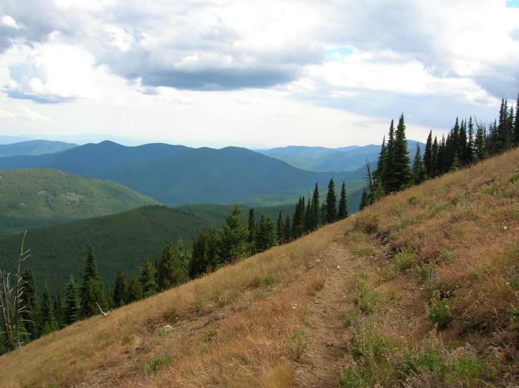
The climb eventually eases somewhat as the trail takes to a series of long sweeping switchbacks across the meadows. By late spring, wildflowers brush pastels and bright colors across these slopes. A fragrance of sun-baked sage permeates in the air.
Views grow with elevation gained. Look northeast to British Columbia’s Rossland Range and the Abercrombie-Hooknose highlands. The Twin Sisters, Mack Mountain, and King Mountain stand out as emerald sentinels guarding east. Views are excellent too, to the lofty summits along the Kettle River Range’s southern flank. Flickering birds in the sage, scurrying ground squirrels in the grasses, and flitting butterflies in the blossoms will keep your eyes focused close by as well.
At 2.7 miles amidst glorious alpine meadows reach the Kettle Crest Trail. From this junction it’s a short and easy off-trail ramble to Wapaloosie’s 7,018 foot summit. Just head northeast through meadows and open forest of Englemann spruce and whitebark pine for about a quarter mile. A large cairn marks the broad summit’s high point.
And if you’re wondering what a Wapaloosie is–purportedly it was any outstanding feature to an early land manager in the region. Now that’s a wapa-loosie of a peak! Kind of has a 50s bebop ring to it–doesn’t it?!

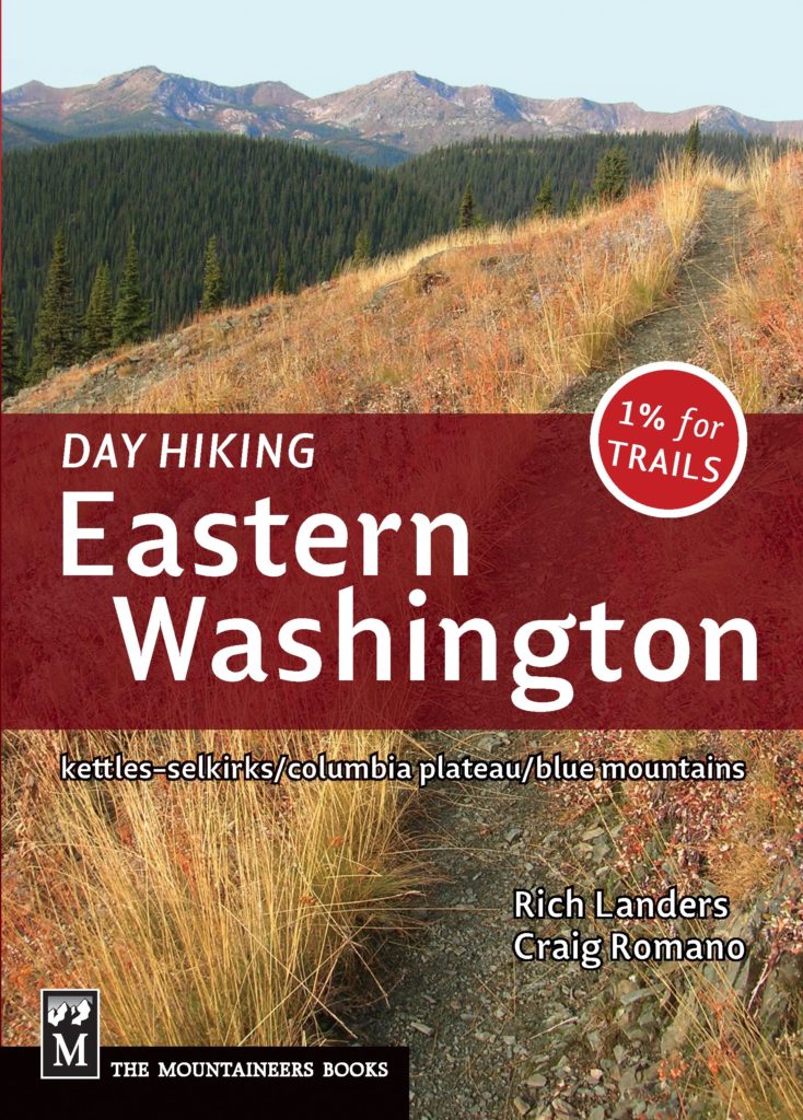
For detailed information on this hike including maps; and information on scores of other great hikes in the Colville National Forest, consult my Day Hiking Eastern Washington book (co-written with Spokane’s Rich Landers).
Great camping at nearby Curlew Lake State Park or consider staying at the Northern Inn in nearby Republic.
For other camping and lodging suggestions check out Northwest Tripfinder.