Southwest County Park─Emerald Swath above Edmonds
Quick Facts:
Location: Edmonds
Land Agency: Snohomish County Parks and Recreation
Roundtrip: Up to 5 miles
Elevation Gain: up to 250 feet
Access: From Everett follow I-5 south to exit 181. Now follow SR 524 (196th St SW) west passing SR 99 and in about another mile turn right onto 76th Ave W. Proceed for about .5 mile to a four-way stop in the Perrinville section of Edmonds. Turn left onto Olympic View Drive and in 0.25 mile enter Southwest County Park. Trailhead parking is on left.
Notes: Dogs permitted on leash; trails shared with mountain bikes
Contact: Snohomish Parks and Recreation Department
Good to Know: Kid-friendly, dog-friendly, snow-free winter hike
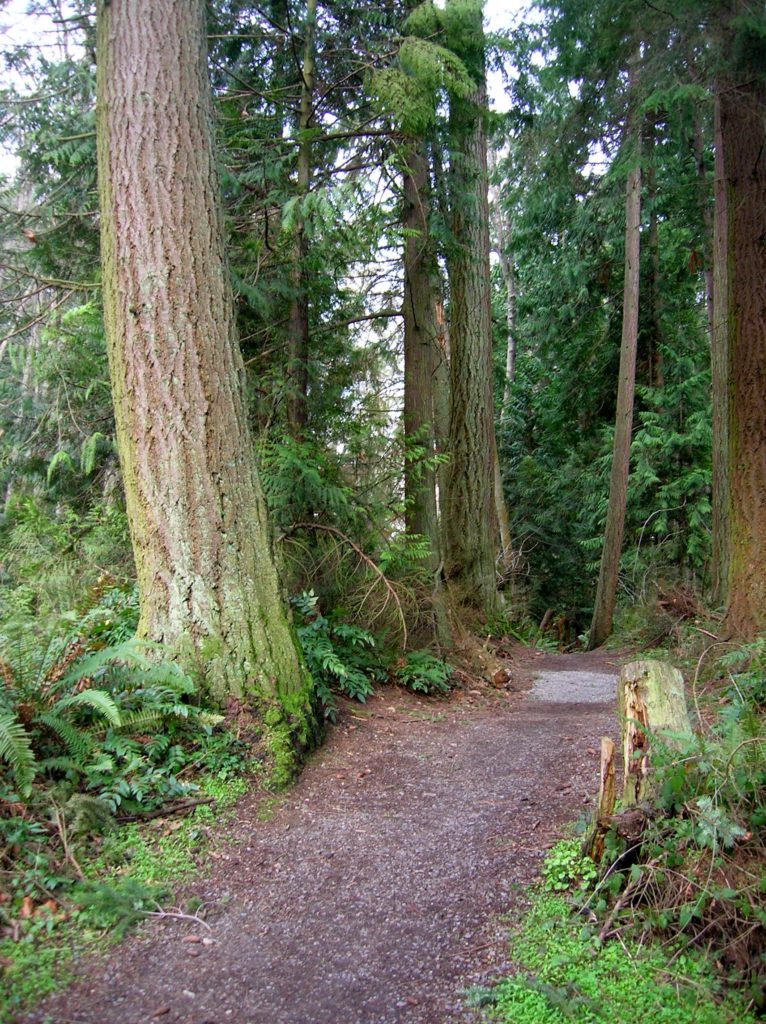
Above the bustle of the Edmonds waterfront is a large tract of land reminiscent of what much of the area once looked like back in the early 20th century. Here not too far from Lynnwood is a 120-acre tract of greenery known as the Southwest County Park; the largest swath of protected land within Edmonds’ city limits. Occupying a deep ravine and thickly forested bluffs overlooking Puget Sound, this park is also one of the last big green patches in southwestern Snohomish County. Much of the park is undeveloped and in a forested state, but there are several miles of trails within it allowing hikers to experience a fairly wild parcel of land between Seattle and Everett.
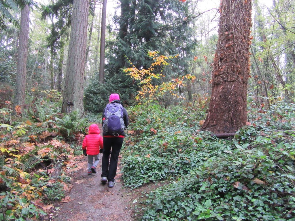
Once owned by Pope and Talbot, the parkland like much of the surrounding area has been logged. But the last time axes came through the area was many decades ago allowing the forest here to mature. You’ll find a handful of impressive firs and cedars in your explorations. While invasive holly and non-native gray squirrels thrive in the park, much of the terrain harbors a green blanket of indigenous salal, Oregon grape and big boughs of ferns.
There are basically two official well-maintained trails in the park, and a series of user-built trails in the park catering more to mountain bikers. South of Olympic View Drive you can walk on two small well-built loops for about a mile through quiet upland woods. Window openings in the forest canopy provide peeks of Puget Sound and Olympic Mountain peaks hovering above. Interpretive signs help you identify plants along the way.
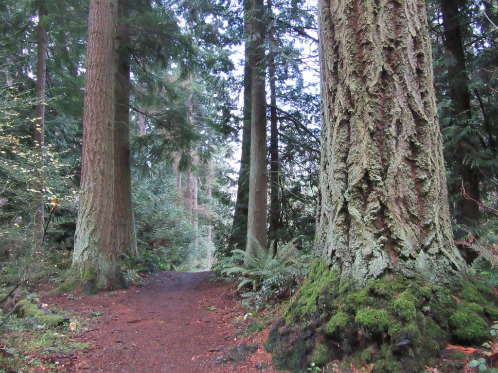
Return back to the trailhead and carefully cross Olympic View Drive to access the other official park trail. This roughly 0.5 mile path parallels the road running above a deep ravine hiding Perrinville Creek. Along the way the trail makes a few dips into cool groves of mature evergreens. Several large stumps bearing springboard notches stand as testimonies to this parcel’s past. There is very small historic loop that diverts from it with panels explaining the area’s logging history.
At the west end of this trail, a newer trail departs downward and away from the road. While not marked, parts of it are well built including boardwalks over wetland areas. At a junction, you can head left for a gentler descent or continue straight for a very steep drop. The two ways meet up where another trail follows an old roadbed north out of the park. Snohomish County Parks is working with the users who built these trails to make sure they are up-to-standard and do not disturb sensitive habitats. They are not marked, so good route finding skills are necessary and allow some extra time to explore them. Perhaps someday they will be fully integrated into the park.
For information on lodging and other attractions in Edmonds and Lynnwood near Southwest County Park visit SeattleNorthcountry.

For detailed information on other great trails throughout western Snohomish County, pick up a copy of my NEW Urban Trails Everett!
It is a shame that Snohomish County Park system will not update their maps of this park. There is a sign on the north side of the park that tells people to keep on the trails, yet no map of the north side at the park. Even on their web site, their map is much worse than that available on most social networking sites. The most historic trail in the park is actually the northwest corner, where the old steam locomotive came in from Talbot Raod, diagonally crossed the park, crossed what is now Fredrick Place and then turned to follow the west bank of Perrinville Creek.
See the map Philo created by searching for “The lost railroad tracks of an Edmonds park”