Round Lake — Find solitude on Lost Creek Ridge

Quick Facts:
Location: Mountain Loop Highway near Darrington
Land Agency: Mount Baker-Snoqualmie National Forest
Roundtrip: 9.8 miles
Elevation gain: 4300 feet
Difficulty: strenuous
Green Trails Map: Mountain Loop Highway 111SX
Contact: Darrington Ranger District; Mount Baker-Snoqualmie National Forest
Access: From Darrington follow the Mountain Loop Highway for 16 miles to a junction with Forest Road 49. Turn left following FR 49 for 3.0 bumpy miles to trailhead.
Notes: wilderness rules apply
Good to know: dog-friendly, solitude, Glacier Peak Wilderness, Practice Leave No Trace Principles, exceptional wildflowers
Aptly named Round Lake is tucked in a hidden basin high on Lost Creek Ridge. You’ll need to steeply climb Lost Creek Ridge

first—then steeply descend to the lake (and climb back out of the lake basin on the return). This tough approach and challenging hike certainly does have one big advantage though (besides giving you a heck of a workout), it practically guarantees you’ll have little company at this delightful destination. And even if you decide not to go all the way to the lake, some awfully beautiful views can still be enjoyed along the way—especially of Sloan Peak, “the Matterhorn” of the Cascades.
The trail starts off easy enough however. Wander through lush cedar bottomlands for a half mile or so before beginning to climb. It’s then a steep grunt—arduously steep. Labor under a canopy of magnificent old-growth. While the shade helps keep you from overheating, there’s no water along the way—so pack plenty. After slogging up nearly three demanding miles, reach 4,400-foot Bingley Gap, a small forested saddle on Lost Creek Ridge. Then head eastward along the ridge and climb some more! Gaps in the canopy provide some view of nearby Mount Pugh. Forest cover soon yields to high meadows. Begin collecting your scenic rewards for all of your hard work. Prominent pointy Sloan Peak steals the show. And as difficult as it may be to take your eyes off of this captivating landmark, hundreds of other summits are yelling out to be recognized; Painted, Stuart, Daniel, Del Campo, Morning Star, Sperry, and Vesper among them.

After some spectacular ridgeline hiking, reach a junction. The main trail continues right for several very rugged miles of more high country. Feel free to walk a short distance traversing a sprawling meadow and rounding a ridge for a spectacular view of Glacier Peak.
For Round Lake, take the trail left to a small gap (el. 5,600 ft) and a great view down to Round Lake sparkling below in an open basin. The lake looks like a trek to get to, and it is. If you’re spent, there’s no shame in not continuing. Just kick back and enjoy the view.
If however you’re enticed to soak your feet in that sparkling gem, proceed. After dropping 600 feet into the basin arrive at the lake in 0.7 mile. Bugs can be a nuisance early in the season when the air is calm. But it’s nothing the resident frogs and swallows won’t eventually take care of. Rest up for the arduous return.
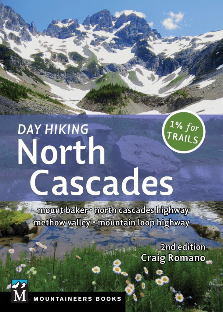
For more detailed information and maps on this hike and many others along the Mountain Loop Highway and throughout the North Cascades, pick up a copy of my best-selling Day Hiking North Cascades 2nd edition (Mountaineers Books)
