Tubal Cain Mine and Buckhorn Lake — Take a “rhody trip” to an historic mine

Quick Facts:
Location: Buckhorn Wilderness, Olympic National Forest
Land Agency: National Forest Service
Roundtrip: 12.4 miles
Elevation Gain: 2,100 feet
Contact: Olympic National Forest, Hood Canal Ranger District, Quilcene,
Green Trails Map: Olympic Mountains East 168SX
Notes: Wilderness regulations apply
Access: From Discovery Bay (Jct SR 20 and US 101), drive no US 101 north and turn left onto Louella Road; located across from Sequim Bay State Park entrance Then drive 0.9 mile turning left onto Palo Alto Road. Continue for 6 miles bearing right onto FR 2880. After 1.7 miles bear left onto FR 2870. Then drive 12.6 miles to the trailhead.
Good to Know: kid-friendly, dog-friendly, Buckhorn Wilderness, wildflowers, exceptional rhododendron blooms, historic
Retrace a packer’s trail to a mine dating from the 1890s. Peer into dark forbidding shafts and saunter past relics left over from boomtown settlements that went bust. But the real find is the miles of rhododendrons and the wildflower-studded meadows beyond the mine.
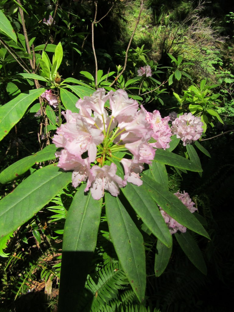
Start hiking immediately passing the Silver Creek Shelter and crossing Silver Creek on a log bridge shortly afterward. Enter the Buckhorn Wilderness and travel across steep slopes high above Copper Creek. Hike through thick stands of second-growth conifers and a luxuriant tunnel of rhododendrons that reign purple in early summer. Occasional breaks in the forest canopy offer previews of the high country lying ahead.

At 3.2 miles, come to a junction. The trail left climbs steeply 0.9 mile into Tull Canyon. An interesting side trip—the trail immediately passes a mine shaft (extremely dangerous to enter) then climbs into the tight canyon. Here find the remains of a crashed World War II–era B-17 bomber. Just beyond that are the ruins of several cabins—remains of the mining settlement of Tull City.
The main trail continues up valley scrappy forest coming to another old mining town site—Copper City at 3.7 miles. It’s now strewn with campsites and rusted mining relics. The Tubal Cain Mine (named for an Old Testament figure said to be the forger of all implements of bronze and iron) lies just to the left. It is a private inholding within the wilderness and is still active (somewhat); respect all postings and leave any equipment alone.
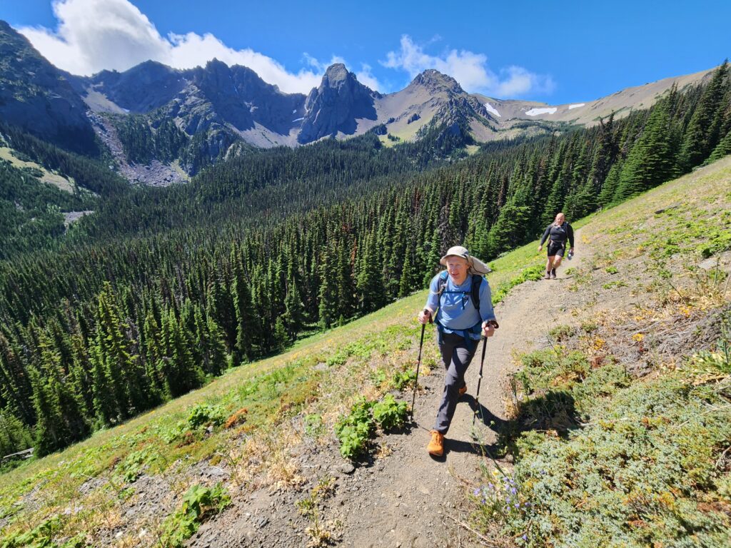
Call it a hike here or continue by crossing Copper Creek on a log bridge. Then begin climbing the valley’s west wall via a series of short (followed by one long) switchbacks. Traverse open slopes bursting with wildflowers. Twin-peaked Buckhorn Mountain with Iron Mountain by its side hovers over the far end of the valley. At 5.7 miles (just after passing a junction with the old-but still hikeable trail) reach a junction for Buckhorn Lake. Now head left hiking across scree and back into the forest. Climb a little, then drop passing good camps and reaching the small lake tucked in thick timber at 6.1 miles. The lake isn’t much, but Copper Creek cascading into it is pretty.
Still feeling energetic? The Tubal Cain Mine Trail continues for another 3 miles on its way to Marmot Pass. The views are breathtaking along the way as the trail travels along open ridge and across alpine tundra.
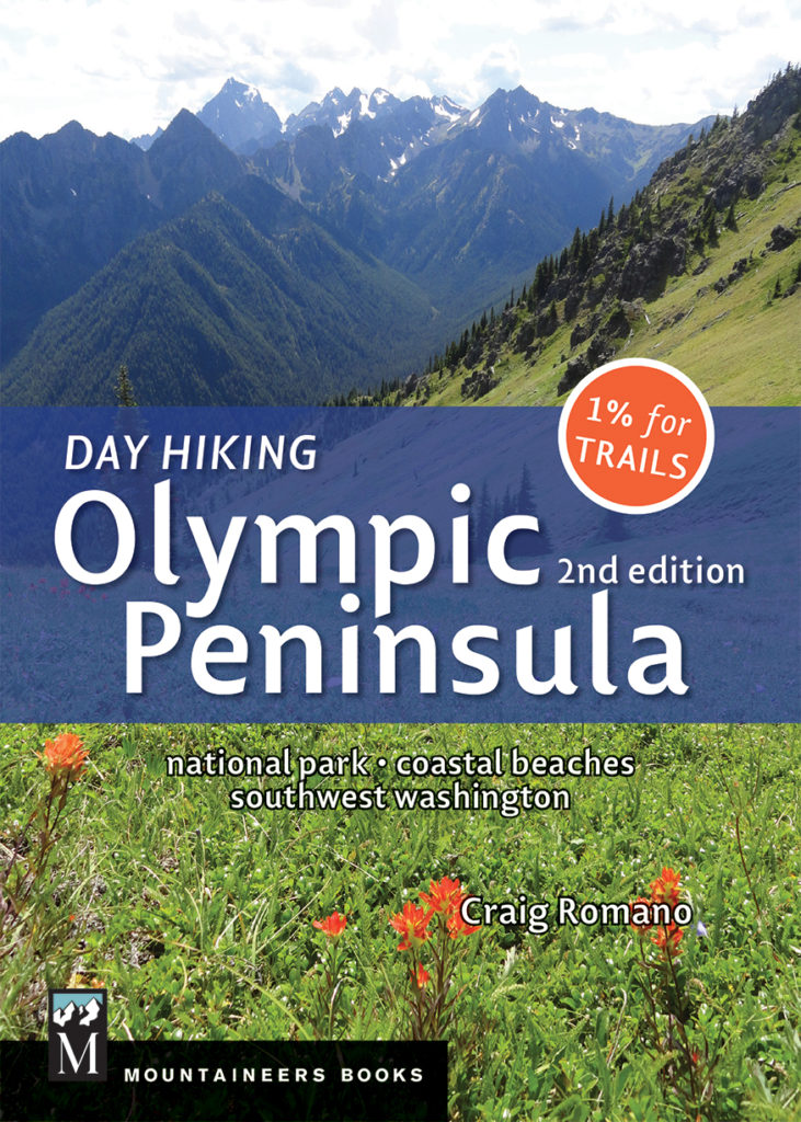
For detailed information on this hike and on 135 other great hikes throughout Olympic National Park, the Olympic Peninsula, and Long Beach Peninsula, pick up a copy of my best selling Day Hiking Olympic Peninsula 2nd Edition (Mountaineers Books). The number one selling hiking guide to the Olympics includes many trails not featured in other guides. Get your copy today and start exploring this incredible region!

For information on where to stay and other places to play on the Olympic Peninsula, consult Northwest Tripfinder