Mount Defiance─ the Undisputed Granddaddy of the Gorge

Quick Facts:
Location: Columbia River Gorge National Scenic Area, Oregon
Land Agency: National Forest Service
Roundtrip: 13.2 miles
Elevation Gain: 5,130 feet
Green Trails Map: Columbia River Gorge-West Map 428S
Access: From Portland follow I-84 east to Exit 55 to the Starvation Creek Trailhead.
Contact: Columbia Gorge National Scenic Area
Recommended Guidebook: Day Hiking Columbia River Gorge 2nd edition
Good to know: Dog-friendly, wildflowers, wilderness rules apply
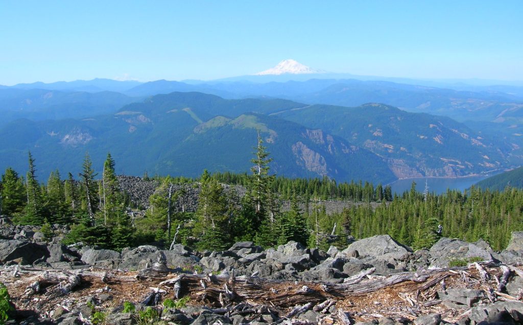
Mount Defiance, the Granddaddy Guardian of the Columbia River Gorge, rises nearly one vertical mile above the Columbia River. Highest peak within the National Scenic Area, many a hiker defies Defiance each year accepting the challenge to tackle more than 5,000 vertical feet. Will you be among them? Do you have what it takes to summit this peak granting sweeping 360 degree views of two states, five volcanoes and countless ridges and peaks.

While there is a much easier and shorter approach to the summit from the north, bragging rights go only to those who ascend this mountain from the river. A loop can be made by utilizing the Starvation Ridge Trail adding some extra distance, but it makes this hike more interesting.
Start by heading west on paved Historic Columbia River Highway Trail (HCRHT) alongside busy I-84. Pass the Starvation Cutoff Trail (currently closed due to a slide) and head left on the Mount Defiance Trail. After crossing Warren Creek on a bridge below Hole-in-the-Wall Falls (created in 1938 by highway workers to divert water away from the old highway) come to a junction . You’ll be returning right, so head left on the Starvation Ridge Trail climbing to an airy ledge. Pass the upper junction with the cut-off and traverse a grassy bluff beneath a powerline, eventually cresting a narrow bluff. From here the way heads southward into forest entering the Hatfield Wilderness.
Now following a narrow ridge dividing the Cabin and Starvation Creek drainages, sharply climb—insanely steep at times. After crossing a couple of talus slopes, reach the edge of an old cut and a more pleasurable hike now along a broad ridge. Ignore a side trail left just before reaching pretty Warren Lake set in a bowl surrounded by shiny slabs of scree and lined with vine maples.
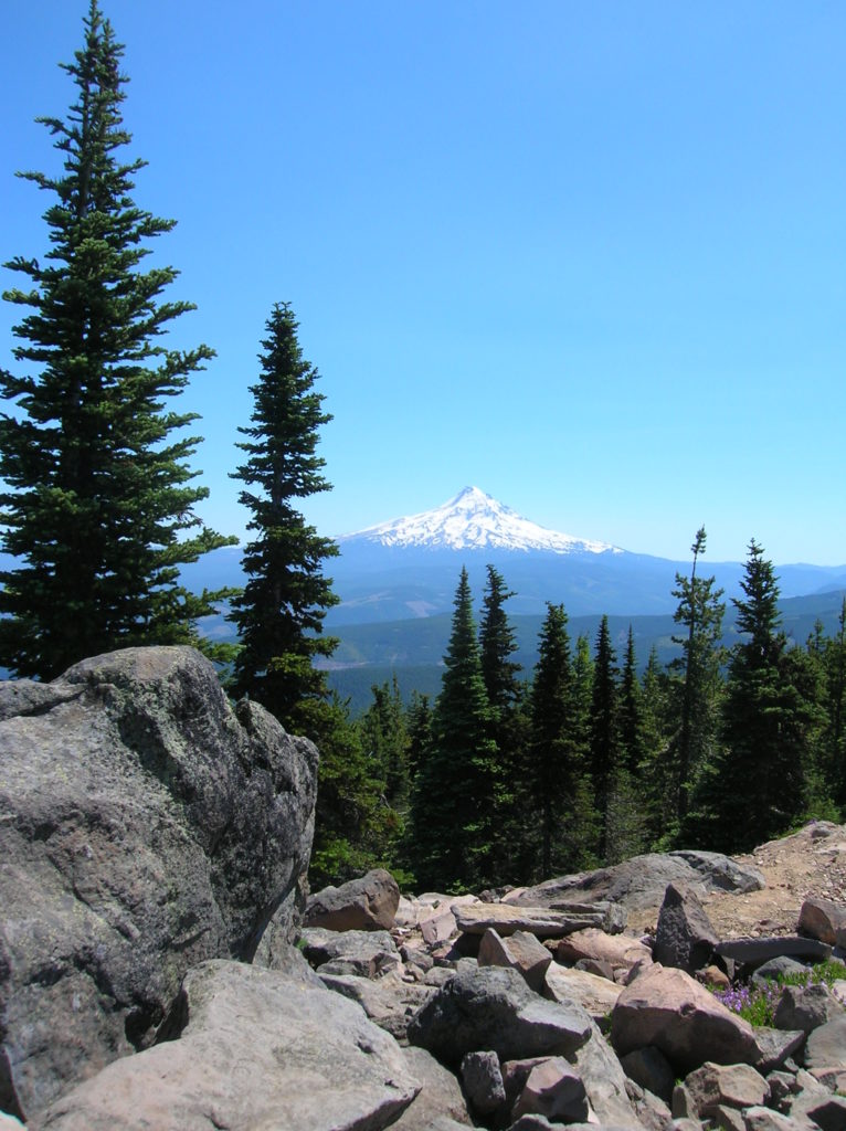
Then clamber over rock toward Defiance’s broad rounded summit. Views north to snowy Washington volcanoes and endless verdant ridges are excellent. Swaying bear grass lines the way as you enter scrappy lodgepole pine forest. At 7.1 miles reach the Mount Defiance Trail. Turn left and stay left at a close by unmarked junction—you’ll be returning on the trail right. Continue through cool forest crossing the summit service road twice arriving at the tower topped 4,960-foot summit at 7.6 miles. Rejoice! You made it! Congratulate yourself, then leave the summit following trail north across shiny scree to a junction for the best views. Here, Mount Hood stares at you right in the face!
Continue right (the trail left is the easy shorter way to the summit) rounding beneath the summit, gasping at the unfurling sprawling views east and south. Return to the Mount Defiance Trail, turn left and left again and then begin the long descent. The grade isn’t too bad at first, but gets much steeper the farther you go along. Pass a couple of excellent viewpoints along the way; then a series of steep switchbacks test your knees for the final descent.
Upon reaching a power line swath, the trail turns east passing beneath lovely Lancaster Falls. Soon afterward pass the Starvation Ridge Trail. Then return right on the HCRHT and reach the trailhead at 13.2 miles

For more detailed information on this hike and 114 others in the Columbia River Gorge, consult my Day Hiking Columbia River Gorge 2nd edition book.

Order your copy from Amazon, or get a copy from the Waucoma Bookstore in beautiful downtown Hood River.
Looking for places to play and stay in the Gorge, consult Northwest TripFinder