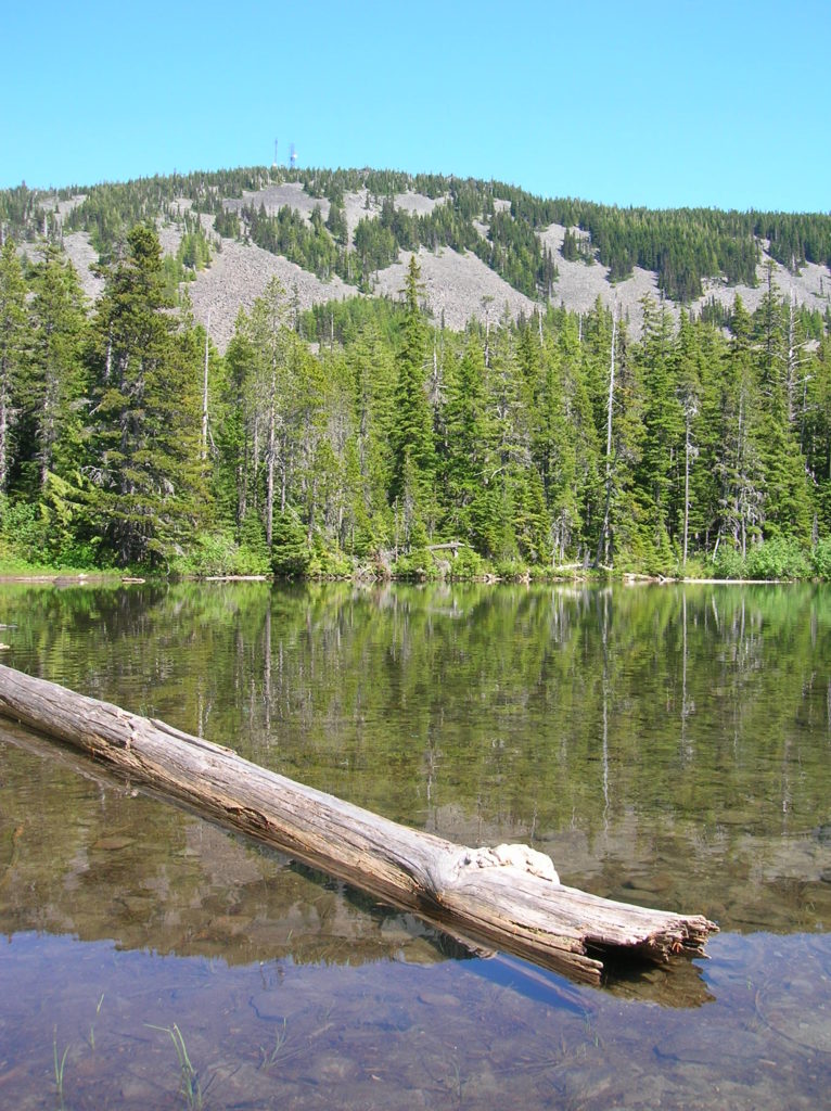
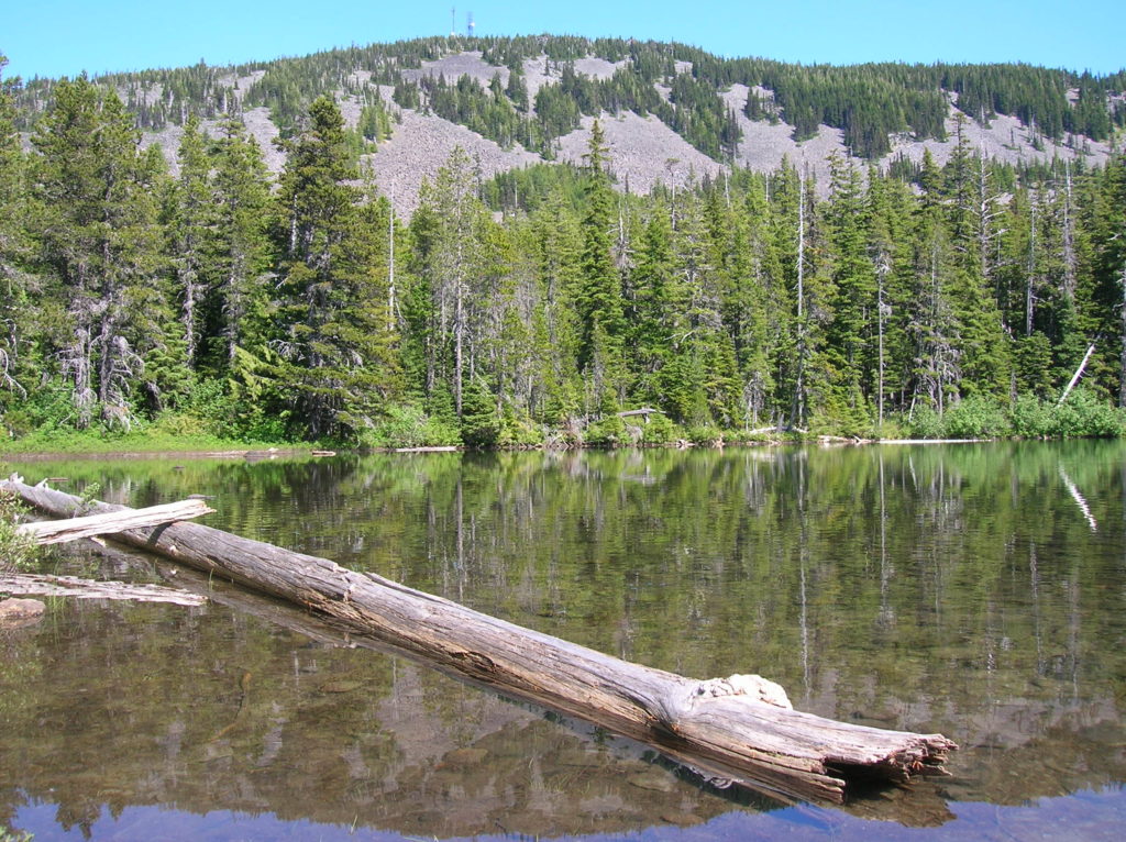
Bear Lake—A bear of a lake but not of a hike!

slopes of Mount Defiance.
Quick Facts:
Location: Mark O Hatfield Wilderness, Columbia River Gorge National Scenic Area, Oregon
Land Agency: National Forest Service
Roundtrip: 2.4 miles
Elevation Gain: 575 feet
Green Trails Map: Columbia River Gorge -West No 428S
Contact: Mount Hood National Forest, Hood River Ranger Station
Notes: Wilderness rules apply
Access: From Portland follow I-84 east to Hood River Exit 62 turning right onto US 30 (Cascade Avenue). Follow for 1.3 miles turning right onto 13th Street (County Road 281) signed for airport. Continue south on CR 281 which becomes Tucker Road. At 5.1 miles bear right onto Dee Highway, which is still CR 281. Continue for 6.2 miles bearing right (near MP 11) to bridge crossing Hood River (signed for Dee-Lost Lake) then bear right onto Punchbowl Road. After 1.4 miles, continue straight on gravel FR 2820 towards Rainy Lake. Follow for 10 miles to trailhead.
Good to know: kid-friendly, dog-friendly, trail less taken, wilderness rules apply
This little lake is set in a remote basin beneath the talus sloped summit of Mount Defiance, highest peak within the Columbia River Gorge National Scenic Area. One of the prettiest alpine lakes in the Hatfield Wilderness, Bear is an easy hike ideal for children and solitude seekers short on time or energy.

Locate the trail across from the parking area and immediately come to a junction by a kiosk with a nice map. Left leads one easy mile to North Lake. For Bear Lake, bear right! On a gentle grade through a nice forest of mountain hemlock with an understory of bear-loving huckleberries bushes, reach a junction after a half mile. Bear left here entering the Mark O. Hatfield Wilderness, named after a long serving Oregon politician and champion of the environment.
After gently climbing a couple of hundred feet and crossing a small scree slope begin descending. At 1.2 miles reach Bear Lake denned down beneath the rocky upper slopes of Mount Defiance. Cradled in a quiet bowl and surrounded by old forest and shiny talus slopes, it’s a pretty spot to idle away the afternoon.
But if at some point you feel the urge to burn more calories, nearby Mount Defiance’s 4,960-foot summit can be climbed by retracing your steps to the previous junction. Then head left and hike just under one mile and 900 vertical feet to some of the best views of Mount Hood.
For more detailed information on hiking Bear Lake and 114 other hikes in and around the Columbia River Gorge, check out my NEW Day Hiking Columbia River Gorge 2nd edition.

For information on places to stay and other things to do in the Gorge, check out Northwest TripFinder
