Whitehorse Trail East–Hike along the North Fork Stilly

Quick Facts:
Location: SR 530 Darrington
Land Agency: Snohomish County Parks
Roundtrip: 14 miles
Elevation gain: 160 feet
Difficulty: Easy
Contact: Snohomish County Parks
Green Trails Map: Mountain Loop Highway no. 111SX
Recommended Guidebook: Day Hiking North Cascades (Mountaineers Books)
Notes: Dogs allowed on leash
Access: Take exit 208 off of I-5 and drive 25 miles east on State Route 530 turning left onto Fortson Mill Road (near Milepost 42). Then continue 0.2 mile to large parking lot and trailhead.
Good to know: snow free winter hiking; historic; dog-friendly; kid-friendly; open to mountain bikes

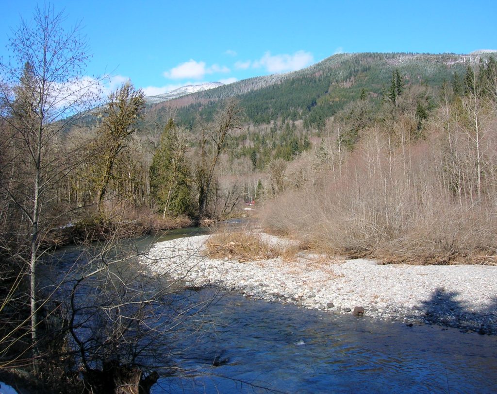
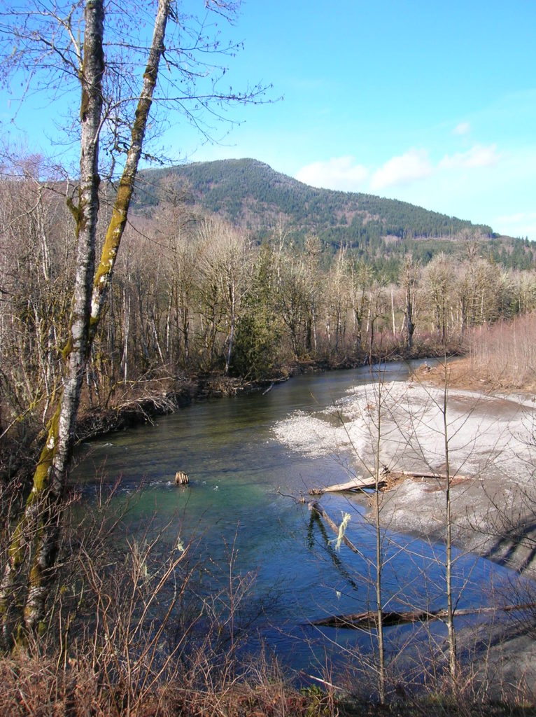
Get on board the Whitehorse Trail; eastern Snohomish County’s emerging long distance rail trail. Like Snohomish County’s 30-mile long Centennial Trail, the Whitehorse Trail promises to be popular with hikers, bicyclists, runners and equestrians. But unlike the Centennial Trail which travels north-south along the suburban fringe of the county, the Whitehorse Trail travels west-east into the wilder, rugged interior of the county. Traveling 27 miles from Arlington to Darrington, much of this trail runs alongside the free flowing North Fork of the Stillaguamish River. Currently, only the easternmost 9.5 miles are maintained.
The eastern reaches of this trail, described here offer some of the best scenery along the entire trail. Enjoyable year round, winter and spring are an especially appealing time with a backdrop of snowy mountains and a roaring Stilly River at your side.
Begin your hike at Fortson, once the site of a bustling mill and community. All that remains are some concrete walls and two mill ponds. The old mill is marred in graffiti —but the mill ponds are quite pretty. From the trailhead, walk to the left of the old mill ruins, soon coming to the Whitehorse Trail. Left leads to the site of the Oso Landslide, where on March 22, 2014 a horrific slide destroyed an entire subdivision and claimed 43 lives. For Darrington, head right. Pass a couple of short paths leading left to the Stillaguamish River—and shortly after that a path leading right to the mill ponds.
The Whitehorse Trail continues east passing another trail leading right to the Mill Ponds and then traverses a large marshy area near the second mill pond. The view here across pools of water and batches of bulrushes to glacier-capped Whitehorse Mountain is quite impressive. Nature began reclaiming this area in the 1950s after the mill was moved to Darrington.
The Whitehorse Trail reaches 379th Ave NE in about 0.8 mile. Here you can walk north a short distance to the Whitehorse Fish Hatchery. The Whitehorse Trail continues east passing great views of Round Mountain, Mount Higgins and Segelsen Ridge before crossing Swede Heaven Road. It then heads into thick forest and crosses Moose Creek near its confluence with the North Fork Stilly. Next cross Squire Creek on an attractive trestle. Soon afterward the trail brushes right up against the rippling waterway. Enjoy excellent views of the surrounding peaks.
The trail continues eastward across the grounds of the Darrington Bluegrass Music Park. It then crosses a power line swath before reentering forest and traversing lush wetlands. Enjoy nice views here the trail’s namesake, imposing glacier-clad 6,852-foot Whitehorse Mountain. Approaching town, the trail edges up against a logging yard before it terminates on Price Street near an old Forest Service barn.
For more information on this hike and many more near Darrington and beyond, consult my best-selling Day Hiking North Cascades 2nd edition (Mountaineers Books)
