Heart O' the Forest Trail─Peaceful path in the shadow of Hurricane Ridge

Quick Facts:
Location: Heart O’ the Hills Campground
Land Agency: Olympic National Park
Roundtrip: 4.6 miles
Elevation Gain: 550 feet
Notes: Dogs prohibited, National Park Entry fee.
Green Trails Map: Elwha North/ Hurricane Ridge No-134S
Access: From Olympic National Park Visitors Center in Port Angeles, follow Hurricane Ridge Road (aka Heart O’ the Hills Parkway) south. Continue 5.4 miles turning left into the Heart O the Hills Campground (just beyond park entrance station); and proceed to trailhead located in Loop E.
Contact: Olympic National Park
Good to Know: kid-friendly, year-round snow free hike, old-growth forest

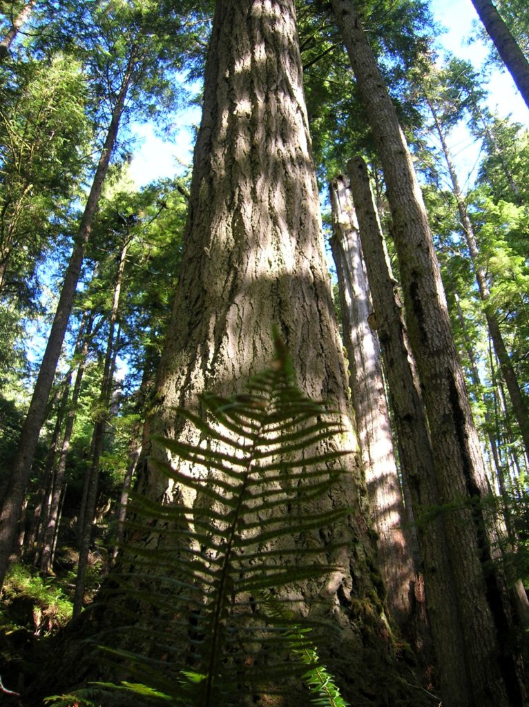
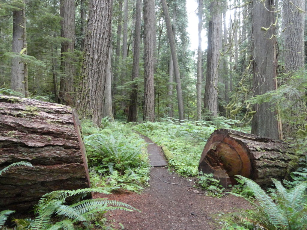
The Heart O’ the Forest Trail offers a quiet crowd free alternative to the nearby Hurricane Ridge trails; and a year-round generally snow-free hiking destination. Beginning from the bustling in summer campground of same name, the way heads out into an emerald jungle of ancient conifers on a wide and well-manicured path. It’s a peaceful little path into primeval forest as most campers who find this trail rarely venture far on it.
Start by crossing a creek and walking on a boardwalk through pungent skunk cabbage. Climb about 50 feet passing impressive cedars and Douglas-firs. The way then slowly descends traversing a forest floor of luxuriant undergrowth shaded by primeval giants. Walk farther and leave behind the commotion of the modern world and the hum of vehicles hurriedly traveling to Hurricane Ridge. Now listen to the soothing melodic calls of the forest’s denizens; chickadees and chickarees, jays and wrens. Venture through these majestic woods on a misty morning and be mesmerized by glistening ferns kissed by a procession of droplets floating down from the surrounding giants.
The first mile or so of the trail is fairly level and can be enjoyed by hikers of all ages and abilities. The way then narrows–enters second-growth forest and begins to follow the rim of a ravine with Lake Angeles-born Lake Creek coursing through it. After descending more noticeably, it crosses a side creek on a bridge and passes through another grove of big old trees. The trail grows rougher and a little brushy as it drops into the ravine. The way gets close—but never reaches Lake Creek. Then come upon a few more big trees before reaching trail’s end at the park boundary. Now work your way back to the campground regaining lost elevation.

For more detailed information on this hike and 135 others in and around Olympic National Park, consult my second edition of Day Hiking Olympic Peninsula--the most comprehensive and best selling hiking guide to the Olympic Peninsula. Get your copy today!
For information on where else to play and places to stay on the Olympic Peninsula, check out Northwest TripFinder
