Tollgate Farm

Historic prairie at the Forks of the Snoqualmie
Quick Facts:
Location: North Bend, WA
Distance: 1.5 miles of trails
Elevation Gain: minimal
Contact: Si View Metropolitan District
Green Trails Map: Mount Si NRCA no. 206S
Notes: Dogs permitted on leash
Trailhead directions: From Seattle follow I-90 east to Exit 27. Turn left onto Winery Road which becomes SE North Bend Way and drive 2.5 miles. Then turn left into Tollgate Park for parking and trailhead.
Transit: King County Metro Line 208
Good to Know: Kid-friendly, dog-friendly (leashed), snow-free winter hiking, wildlife viewing, historic
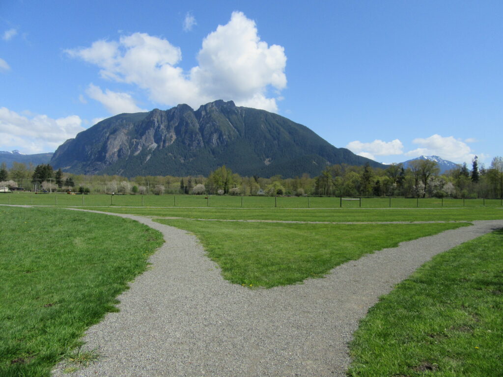
Known among many local residents as the Cow Park for its resident bovine herd, Tollgate Farm Park retains a semblance of its agricultural past. Much of the park is a historic prairie near the South Fork of the Snoqualmie River. And only a small portion of its more than 400 acres is developed with a small parking lot, playground and picnic area. The rest of the park is open space with two loop trails, a spur trail and a restored 1890 farmhouse.

The views from the farm of Mount Si to the north are breathtaking. Views are good too of Rattlesnake Mountain to the south and Mount Washington, Mailbox Peak, and other Snoqualmie Pass peaks to the east. Explore the park’s loop trail traveling along the periphery of the prairie. The path weaves through a row of apple trees and other hardwoods. If you’re just looking for a short walk, take to the half mile loop. Otherwise, follow the longer loop for a 1.0 mile trip around the core of the historic farm.
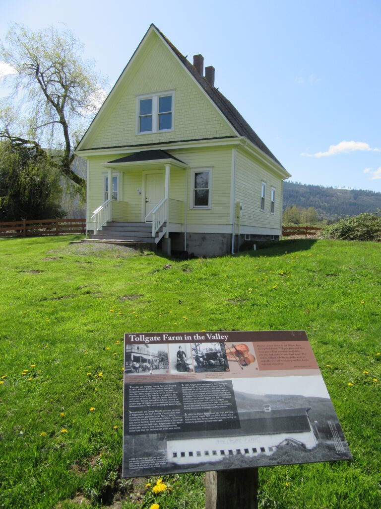
Stop at the numerous interpretive signs and learn about this property’s fascinating past. Occupying an important prairie to Native peoples, this site was homesteaded in 1867. In 1865 the historic Snoqualmie Pass Wagon Road was cut through this property, In 1883 it became a toll road and a tollhouse was set up here—hence the farm’s name. The 1890 built Tollgate Farmhouse still graces the property. You’ll walk right past this renovated building. Appreciate the beauty and historical significance of the park and be grateful for the Trust for Public Lands for saving it from becoming an office park and housing development back in 2001.
If you want to extend your wanderings, near the farmhouse, a short spur trail leads north along Ribary Creek ducking under SR 202. It then swings west ending on Boalch Ave NW. From here you can walk that quiet road 0.6 mile to Meadowbrook Farm. You can also walk across the SR 202 Ribary Creek bridge and then carefully walk the road shoulder a short distance to a trail leading north along the South Fork Snoqualmie River to reach the Snoqualmie River Trail.
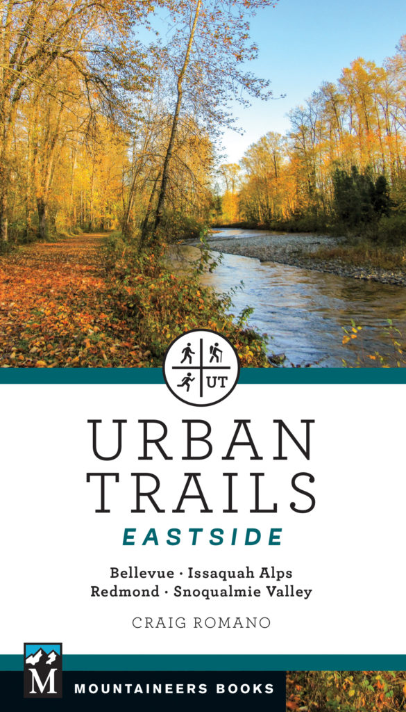
For more details on this hike and others in and around North Bend, pick up a copy of my Urban Trails Eastside book (Mountaineers Books). Sixty hikes in all!
And this is installment of Hike of the Week is the 1,000th!
Wow, Hike of the Week started back in December of 2004. It was originally written to coincide with Washington Online Weather’s weekend reports. From there it morphed into a showcase of all of the great hiking guidebooks being written by me (Craig Romano). I do hope you have enjoyed and continue to enjoy the hiking suggestions I present to you every week and I do hope you will purchase my books and support my work so that I may continue to bring you plenty of new hiking suggestions! And thanks so much if you have purchased some of my books. I hope they bring you many, many wonderful miles on the trail!
