River Trail–Big maples and hidden Snohomish riverfront at Lord Hill

Quick Facts:
Location: Snohomish Valley
Land Agency: Snohomish County Parks
Roundtrip: 5.2 miles
Elevation gain: 650 feet
Contact: Snohomish County Parks
Notes: Dogs permitted on leash
Good to know: Dog-friendly, kid-friendly, snow-free winter hike, good trail running
Access: From Everett follow US 2 to SR 9. Head south on SR 9 and exit onto 2nd Street in Snohomish. Proceed east for a one mile; then turn right onto Lincoln Ave which becomes the Old Snohomish-Monroe Highway. After 2.7 miles turn right (south) onto 127th Ave SE and proceed for about 1.6 miles to park entrance and trailhead.
Lord Hill Regional Park consists of 1,463-acres of forested slopes, lush ravines, rocky outcroppings, scads of wetland ponds, and a wild undeveloped stretch of the Snohomish River. It’s an immense natural area just minutes from Everett with over eleven miles of good trails and several more miles of primitive trails. Originally homesteaded in the 1880s by Mitchell Lord, the land was farmed before being acquired by the Department of Natural Resources. In the 1980s the land was transferred to Snohomish County Parks becoming its largest property. Lord Hill Park provides countless hiking, horseback riding, mountain biking and trail running options. The hike to the Snohomish River via the River Trail is one of the park’s wilder, lonelier, and more challenging options.

This is a reverse climb hike with most of the elevation gain attained on the return, so plan accordingly and save some energy. From the main trailhead high on the western shoulder of Lord Hill follow the main trail through a cool forest of big trees, dropping into a marshy depression. At .4 mile, come to a junction with the Beaver Lake Trail. Turn right continuing on the Main Trail avoiding all side trails. At 1.6 miles, come to a junction with the River Trail.
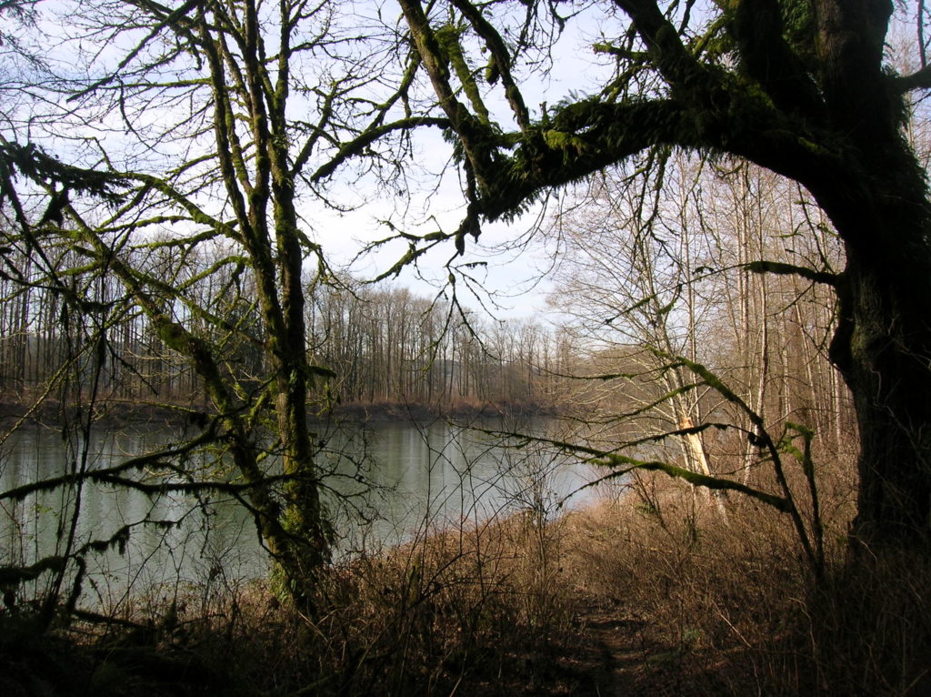
Take it and soon come to another junction. The trail left, the River Trail Cut-off makes for an alternative approach. It provides access to a small unnamed pond and the Quarry Trail before rejoining the River Trail. Staying right on the River Trail, continue losing elevation. Bear left where a road leads right to private property. The trail then soon narrows and gets a bit rougher. After rejoining the River Trail Cut-off, it drops into a lush emerald ravine. Weave through giant moss and fern draped maples before emerging on a sandy bank above the Snohomish River.
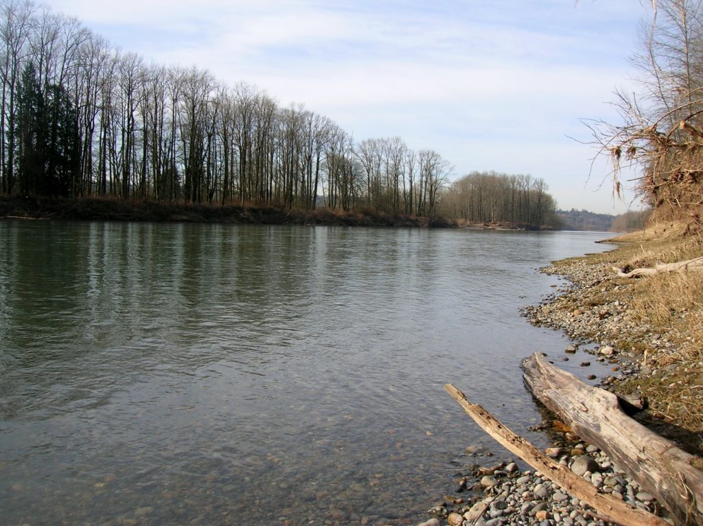
When the water level is low, it is possible to walk out on gravel bars along the river. If the river is running high, enjoy it from the bank, finding a sun-kissed log to rest upon. No matter the river’s level however, you’ll be treated to a wild undeveloped stretch of this important waterway. You’re not too far from the where the river is formed at the confluence of the Skykomish and Snoqualmie Rivers! That water rushing before you has come from quite a large watershed draining many a mountain valley in the Cascades. During the rainy months the volume is quite impressive.
For more information on this hike and many other nearby snow-free destinations, pick up a copy of check out my Urban Trails Everett (Mountaineers Books)!
