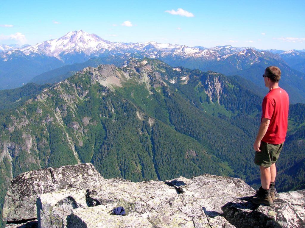
Mount Pugh — It’s quite a view from the summit of Pugh

Quick Facts:
Location: Glacier Peak Wilderness, Mountain Loop Highway near Darrington
Land Agency: Mount Baker-Snoqualmie National Forest
Roundtrip: 11.0 miles
Elevation gain: 5,300 feet
Green Trails Map: Mountain Loop Highway Special Series 111SX
Contact: Darrington Ranger District: Mount Baker Snoqualmie National Forest
Notes: NW Forest Pass or Interagency Pass required; The last 1.5 miles of hike involves crossing a knife edge with considerable exposure. It should only be attempted by confident hikers with scrambling experience.
Access: From Darrington, follow the Mountain Loop Highway for 12.4 miles. Then turn left onto FR 2095 and continue for 1.5 miles to trailhead.
Good to Know: Glacier Peak Wilderness, exceptional views, historic fire lookout site, Practice Leave No Trace Principles
Let’s make one thing perfectly clear before we begin. This is an extremely difficult and taxing hike. From trailhead to summit, you’ll gain more than one vertical mile. Parts of the trail are exposed and can be downright frightening (and dangerous in bad conditions and to inexperienced hikers). But experienced hikers in good condition with scrambling skills can expect one of the most exhilarating and satisfying hikes in all of the Cascades.

On good tread and under a magnificent canopy of old growth, the trail starts off fairly easy, reaching little Lake Metan in 1.5 miles after gaining a modest 1,300 feet. The small pool provides the last reliable water and a good view up massive Mount Pugh.
Continuing on good tread the route grows steeper. Just after 3.0 miles it breaks out of forest to a jumble of boulders at the base of steep talus and avalanche slopes. Now on rocky tread it works its way up the steep harsh slope. Emerging views help ease the pain. At 3.8 miles, 5,750-foot Stujack Pass, a notch on Pugh’s northwest shoulder is reached. Here admire a fine view of White Chuck Mountain to the north.
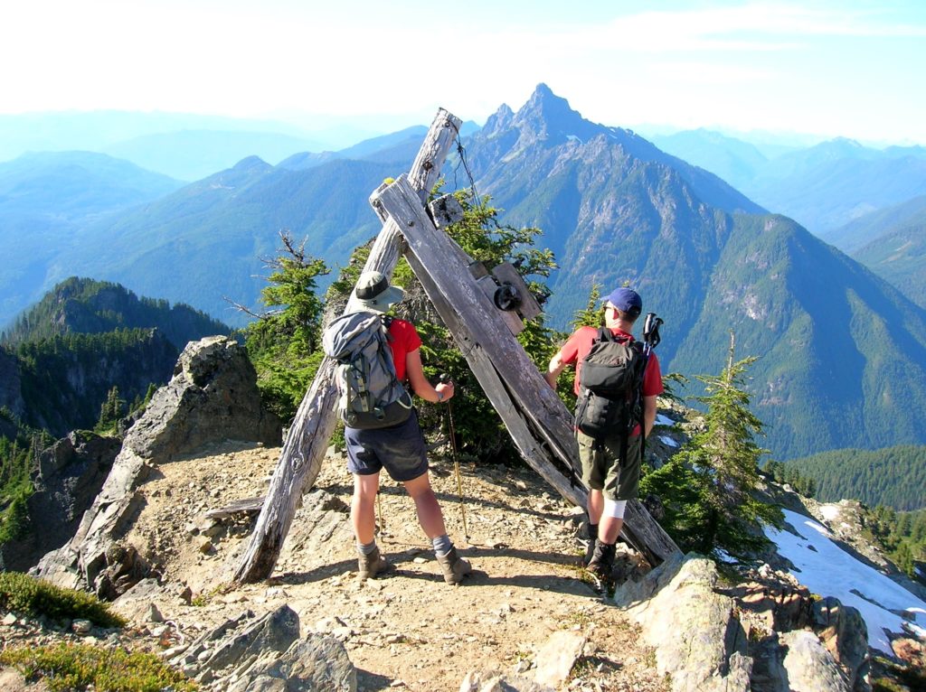
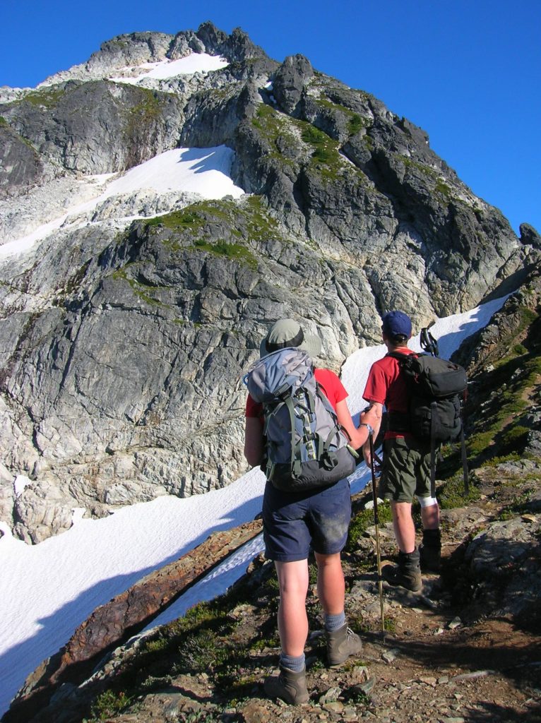
Turning eastward the trail now climbs up steep heather slopes. After rounding a bend, Mount Pugh’s intimidating summit block and impressive glacier wedged beneath it, is revealed. At 4.2 miles reach the remnants of an old tram once used to transport supplies to the old summit lookout. For most hikers, this is far enough. Enjoy the amazing views spread out before you.
Sure-footed scramblers may want to proceed along a knife edge that precipitously drops off to the glacier on one side, and the Sauk River Valley on the other. Then, with the help of your hands, ascend a steep and exposed “cleft” above the glacial trough. Now carefully cross a short difficult section of trail that has slid off.

The remaining route however, is on good trail, albeit steep. At 5.5 linear miles and one vertical mile arrive at Pugh’s 7,201-foot summit. Claim a massive shiny granite shard to plop down on; then soak up as much scenery as possible. The view from Pugh is almost too good to be true! The Olympics, Three Fingers, Baker, Shuksan, Rainier, Stuart, the Monte Cristo massif, and nearly every peak ringing the Mountain Loop Highway come into full view from this cloud-piercing peak. Glacier Peak dominates the eastern horizon. Snowy, showy Sloan Peak commands your attention south. With full evidence before you, Mount Pugh easily provides one of the best alpine showings in all of western Washington.
For more detailed information on this hike and many others in the Darrington, area check out my best selling Day Hiking North Cascades Second Edition (Mountaineers Books)
