White Chuck Cinder Cone — Coolest volcanic cone north of Lassen

Quick Facts:
Location: Glacier Peak Wilderness,Mountain Loop Highway near Darrington
Land Agency: Mount Baker-Snoqualmie National Forest
Roundtrip: 23.0 miles
Elevation gain: 5,200 feet
Green Trails Map: Mountain Loop Highway 111SX
Contact: Darrington Ranger District: Mount Baker Snoqualmie National Forest (360) 436-1155
Notes: NW Forest Pass or Interagency Pass required
Access: From Darrington, head south 16 miles on the Mountain Loop Highway. Then turn left and follow FR 49 for 6.4 miles to Sloan Creek Trailhead.
Good to Know: old-growth; Glacier Peak Wilderness, Pacific Crest Trail; backpacking, exceptional wildflowers
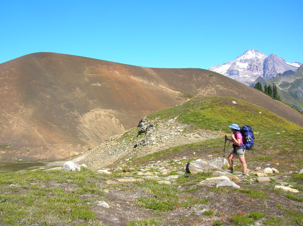
Located at the headwaters of the White Chuck River within the shadows of snowy showy Glacier Peak; it’s a long hike to the White Chuck Cinder Cone. But, what a hike to one of the finest—and most remote cinder cones in the Cascades. Cinder cones are simple volcanoes that develop from particles and congealed lava ejected from a single vent. These cones usually form a circular or oval cone with a bowl shaped crater. Lassen Volcanic National Park in Northern California contains a great example. Wizard Island in Crater Lake National Park and Pilot Butte in Oregon are great cinder cones too—and easily accessible.
The White Chuck Cinder Cone, first discovered in 1934, requires at least a two day backpack to reach and explore it. The shortest route to it is via the North Fork Sauk River Trail accessed from the Mountain Loop Highway. From the trailhead, immediately enter the sprawling Glacier Peak Wilderness, and follow alongside the North Fork Sauk through majestic primeval forest.

At just past five miles, good campsites can be found near the Mackinaw Shelter. The trail then climbs steeply gaining 3,000 vertical feet up hot southern exposed slopes stripped of shade thanks to numerous avalanches. At 8.5 miles, reach the Pacific Crest Trail and head left traversing high windswept meadows where only the wide reaching views are more impressive than the dazzling wildflower display
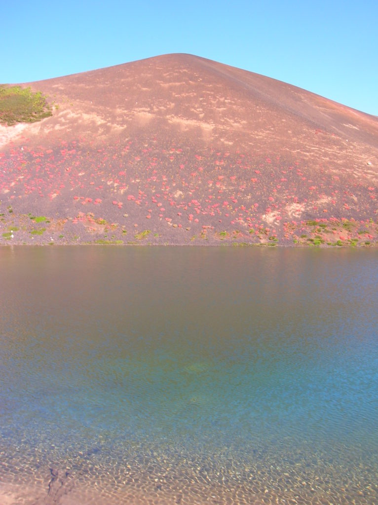
After cresting 6,450-foot Red Pass, descend into a barren high basin where snows often linger long. Melt water cascades and alpine breezes break the stillness. At about 11.0 miles, a faint path leads left to a small tarn beneath the nearly 200-foot White Chuck Cinder Cone. Good but exposed camps can be found east of the tarn. The cinder cone can be scrambled from the west. The view of Glacier Peak and the White Chuck basin from it is breathtaking! Excellent campsites can also be found another mile down the PCT in the parkland Glacier Peak Meadows. Stay for awhile.
More details on backpacking in this area as well as in other outstanding areas in Washington can be found in my best selling Backpacking Washington second edition. Pick up your copy today!
