Cascade Pass─Easy Portal into the North Cascades National Park

Quick Facts:
Location: North Cascades
Land Agency: North Cascades National Park
Roundtrip: 7.4 miles
Elevation Gain: 1,800 feet
Green Trails Map: Ross Lake North Cascades No. 12SX
Contact: Summer – North Cascades National Park Visitors Center Newhalem: (206) 386-4495 ext. 11 or NCNP Visitors Center Sedro-Woolley (360) 854-7200; www.nps.gov/noca
Notes: Dogs prohibited. No trailhead camping.
Access: From Marblemount head east on the Cascade River Road for 23.0 miles to its end at the trailhead.
Good to Know: kid-friendly, Historic trails, exceptional wildflowers, practice Leave No Trace Principles
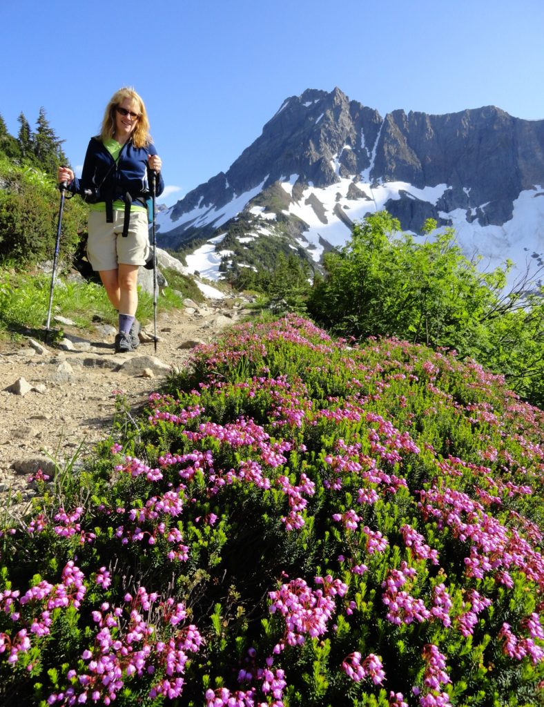
The only trailhead in the 684,000-acre North Cascades National Park that you can drive to, Cascade Pass is not surprisingly the most popular trail within the park. But it’s not just ease of access that makes this trail such a hit for hikers near and far. The trail is well graded and a pleasure to walk delivering you to an alpine world of stunning scenery! Enjoy resplendent flowers and impressive peaks harboring hanging glaciers. And witness wild critters big and small, from foraging bears and scurrying mountain goats to sun-basking and frolicking marmots.

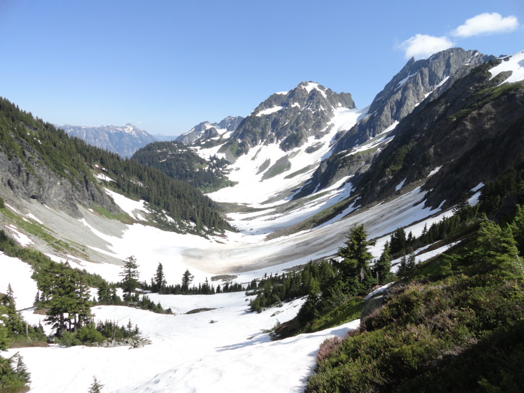
at Cascade Pass.
Long used by Native Americans, explorers, prospectors, and surveyors, this relatively low pass was a wise choice for providing passage through the North Cascades. And it was once considered by railroad and highway planners too. Thankfully it will remain trail, and protected as wilderness within a national park.
The views are amazing before you even hit the trail. To the south, the fierce face of Johannesburg Mountain peers down at as you lace up; periodically shedding shards of ice to the valley floor from its hanging glaciers. Stop staring and hit the trail—it only gets better. The trail starts by switchbacking some thirty times on a forested rib to propel you high above the avalanche-debris littered valley floor.
After climbing 1,400 feet in the first 2.0 miles, the grades eases to make a long traverse towards the pass traveling through meadows, talus, and the occasional lingering snowfield en route. At 3.7 miles reach the heather parklands of 5,400-foot Cascade Pass; a perfectly fine place to call it a day. But if the prospects of going higher or farther are tempting you, plenty of options are available.
The trail for Sahale Arm takes off north climbing about 800 feet in 1.0 rocky and steep mile. From here a trail heading right descends to Doubtful Lake losing all of that hard earned 800 feet of elevation gain. The trail left continues another 1.3 miles up Sahale Arm through rolling meadow and alpine tundra all the way to the toe of Sahale Glacier at 7,200 feet.
You can also hike right from Cascade Pass a short ways up a climbers path until it becomes mountain goat and serious climber only terrain. Or continue east dropping down into the lush and beautiful Pelton Basin. Or just sit at the Pass and soak up all of the scenery without losing any more sweat!
For more detailed information on hiking Cascade Pass and other nearby trails and destinations, consult my best selling Day Hiking North Cascades 2nd edition (Mountaineers books).
