West Fork Methow River

Follow a trail less traveled along a roaring waterway
Quick Facts:
Location: Methow Valley
Round Trip: 5.0 miles
Elevation Gain: 450 feet
Contact: Okanogan-Wenatchee National Forest, Methow Valley Ranger District
Detailed Information: Day Hiking North Cascades 2nd edition (Mountaineers Books)
Notes: Northwest Forest Pass or Interagency Pass required; watch for rattlesnakes
Green Trails Map: Methow Valley 51SX
Access: From Winthrop, follow SR 20 west for 13.2 miles to the Mazama turnoff just past milepost 180. Then proceed north for 0.4 mile to Mazama and turn left following Lost River Road for 6.7 miles. Continue now on FR 54 for 2.2 miles and turn left onto Spur 60 and drive 0.6 mile to Rattlesnake Trailhead.
Good to Know: dog-friendly, kid-friendly, trail less taken, wildflowers
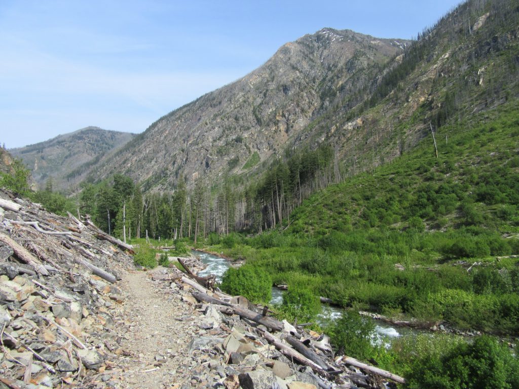
Hike along a tumbling and roaring river through a burn zone in a wide glacier-carved valley. In 2003 a large wildfire swept through laying waste to much of the forest that once graced this wide and wild valley. Subsequent windfalls and washouts coupled with an inadequate Forest Service Trail budget allowed this once popular feeder trail to the PCT to become nearly impassable. But thanks to the Washington Trails Association, the trail is slowly being restored. The first 2.5 miles of this 8 mile long trail is in excellent shape. It makes for a wonderful short hike. With a lack of tree cover however, it should be avoided on hot summer days.
Start in open forest and soon cross Rattlesnake Creek on a bridge. It’s then into the open burn zone. Wildflowers and rabbit brush add some color contrast to the expanse of blackened stumps, silver snags, and charred logs. The trail primarily follows along the roaring river on a bench above the flood plain. Views of the waterway are nearly uninterrupted. After passing a big flat sitting rock, the trail traverses a scree slope at river’s edge. This area is prone to washing out, so use caution working your way around any lost tread. Then continue upriver passing a cottonwood grove and climbing higher above the river. At 2.5 miles reach Trout Creek and its mangled washed out bridge. Crossing this creek is treacherous and the trail beyond is in rough shape—making this a good turnaround spot.
For more details on this hike and many other amazing hikes in the Methow Valley, pick up a copy of my best selling Day Hiking North Cascades 2nd edition (Mountaineers Books).
