Virginia Lake─Sweet bird watching spot on Sauvie Island

Quick Facts:
Location: Sauvie Island (Portland, Oregon)
Land Agency: Willamette River Greenway, Wapato Access (Oregon State Parks)
Roundtrip: 2.4 miles
Elevation Gain: 50 feet
Notes: Dogs must be leashed.
Access: From downtown Portland, follow US 30 (NW St Helens Road) west for just shy of 11 miles turning right onto the Suavie Island Bridge. Then follow Sauvie Island Road for 2.7 miles to trailhead located on your left.
Contact: Oregon State Parks
Good to know: kid-friendly, dog-friendly, snow-free winter hike, bird watching, spring wildflowers, trail less taken

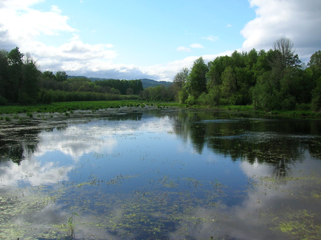
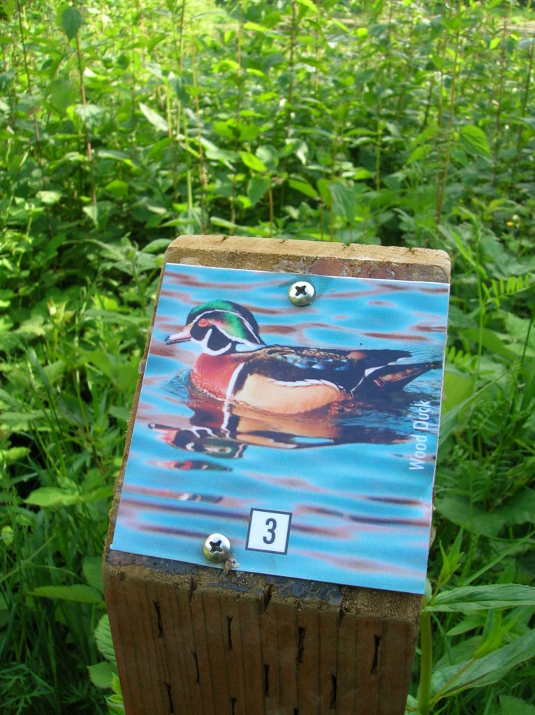
Virginia Lake is the centerpiece of a little known but lovely state park known as the Wapato Access Greenway on rural Sauvie Island. Cooperatively maintained by the Audubon Society of Portland, the greenway has been deemed an IBA—Important Birding Area. Here, you’ll find eight colorful posts displaying native bird species along the way. Be sure to take the brochure available at the trailhead along so that you can stop at each post and learn about the birds in this wetland environment.
Long before French-Canadian Laurent Sauvé began managing dairy farms for the Hudson’s Bay Company, the island now named after him was known as Wapato. An arrow-leaved aquatic plant; tubers from the Wapato were an important staple to First Peoples in the region. Despite much of the island’s land being converted to agriculture, wapato can still be found here. Look for it along shallow Virginia Lake.
Take the entrance trail 0.2 mile to access the Wapato Loop Trail at a picnic pavilion. En route pass the first of the eight IBA posts, this one denoting a Bullock’s oriole. Turn left and immediately come to a junction. Here a spur trail leads right to a wooden viewing platform above Virginia Lake. More of a marsh, the lake dries up by late summer, but birding remains good year round.
Continue along the loop and at .6 mile come to another junction. Here a spur leads left to Hadley’s Landing Dock on the Multnomah Channel. The loop continues along the channel under a canopy of cottonwoods and ash. While the area is peaceful, traffic can be heard buzzing by on US 30 across the channel.
Travel through a savannah-like setting next, crossing a small boardwalk at the northern tip of the Virginia Lake complex. The way then rolls a little, skirting a farm and passing by a couple of big oaks. At 2.2 miles return to the picnic pavilion closing the loop. Turn left to return to your vehicle.

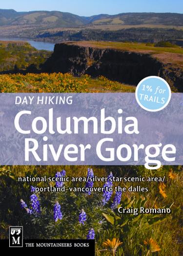
For more information on this hike and others within the Portland-Vancouver region check out my Day Hiking Columbia River Gorge book (Mountaineers Books).
For other things to see and do in the Portland area, consult Northwest TripFinder
