Mount Erie

Fidalgo Island highpoint grants sweeping views
Quick Facts:
Location: Fidalgo Island
Land Agency: Anacortes Community Forest Lands (ACFL)
Round Trip: 5.2 miles
Elevation Gain: 910 feet
Contact: Anacortes Parks and Recreation
Detailed Information: Day Hiking San Juans and Gulf Islands (Mountaineers Books)
Map: online
Notes: Dogs permitted on leash. Some trails open to bicycles, horses
Access: From Exit 230 on I-5 in Burlington, head west on SR 20 for 13.5 miles and turn right onto Campbell Lake Road. Follow for 1.5 miles bearing right onto Heart Lake Road. Then continue 1.5 mile and turn right at a sign indicating, “Mt Erie Viewpoint.” Proceed a couple of hundred feet to trailhead.
Good to Know: kid-friendly, snow free winter hikes, dog-friendly, old-growth,
Yes, you can drive to the summit of Mount Erie—but a hike is much more rewarding. On sunny weekends throngs of visitors crowd summit viewing posts making this mountain far from a quiet retreat. Try for a weekday. And if you’re lucky, in the winter occasional icing closes the road guaranteeing you solitude at the summit.
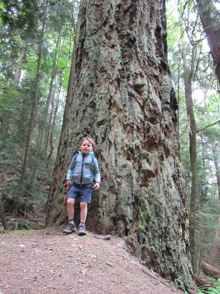
Begin on Trail no. 215 soon coming to a junction. Then head left on Trail no. 320 traversing a beautiful grove of old growth cedar above Heart Lake. After crossing a creek, come to Trail no. 21 near a monster Douglas-fir. Turn right and follow this old fire road on a steady ascent. Bear right onto Trail no. 230 and hike through a low gap staying left at the next junction. Enjoy easy walking descending into a ravine above a bubbling creek reaching another junction.
Turn right onto Trail no. 207 and switchback upward reaching a junction. Here Trail no. 26 heads right to the Mount Eire Road offering a much shorter and easier approach to this hike. Continue left through a stile onto hiker-only Trail no. 216 and start winding your way up Fidalgo Island’s highest summit. You’ll pass several confusing unmarked trails within the first half mile—stay left at all of these junctions.

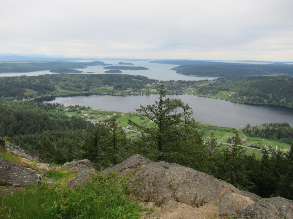
At just over two miles the trail brushes up along the road before making its final pitch over ledge and through thick forest. Bear left at a junction just below the summit reaching the road at the summit at 2.5 miles. Then turn left and walk a short distance on the road to several developed viewpoints. The one east overlooking March Point and Fidalgo Bay is growing in. Head to the busy overlook south near the communications towers and savor the scenery. The view is excellent over Whidbey Island out to Glacier Peak, Three Fingers and Mount Rainier. Great view too of Skagit Bay with Kikit, Skagit, and Hope islands; and of Campbell Lake directly below the mountain’s north face. The lake’s little island happens to be the largest island on lake on an island in Washington state.
Peregrine falcons nest in the cliffs below. Rock climbers can often be seen clambering up them. Big birds thundering from the Whidbey Island Naval Air Station can often be observed from here too.
For detailed descriptions (including maps) for this hike as well as many others on Fidalgo Island, pick up a copy of my Day Hiking the San Juans and Gulf Islands (Mountaineers Books). You’ll find 136 hikes in all on 23 islands!
