Christmas Lake and Cedar Butte- Bad tidings and spelling

Quick Facts:
Location: Snoqualmie Valley near North Bend
Land Agency: Washington State Parks
Roundtrip: 4.2 miles
Elevation Gain: 900 feet
Green Trails Map: Rattlesnake Mountain Upper Snoqualmie Valley 205S
Access: From Seattle take I-90 east to exit 32 in North Bend turning right (south) onto 436th Ave SE which soon becomes Cedar Falls Road. Follow for 3.1 miles to Rattlesnake Lake Recreation Area. Look for large parking lot (located on east side of road) for the Palouse to Cascades Trail.
Notes: Discover Pass Required; Dogs must be leashed.
Good to know: Kid-friendly, dog-friendly, historic, snow-free winter hike; mountain biking (Palouse to Cascades Trail)
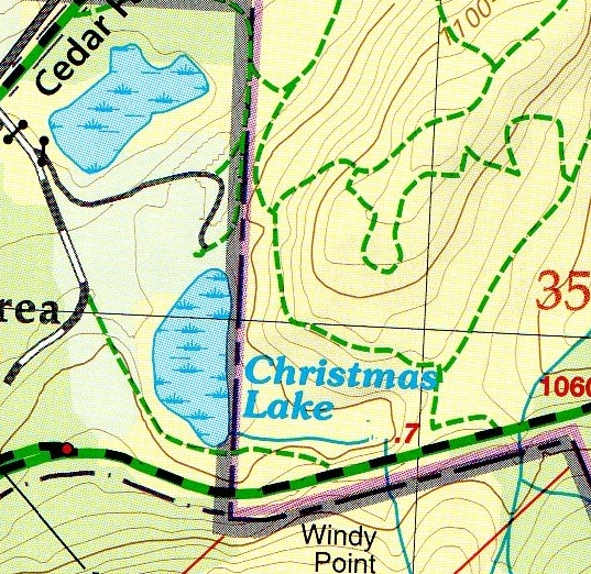
Oregon has its Christmas Valley. New Hampshire and Pennsylvania have a Bethlehem. Alaska even has a North Pole. And here in Washington State, are there any places on the map named for that most wondrous time of the year? We have a Christmas Lake! But don’t think its name was inspired by Peanuts characters skating about humming “Christmas time”—nope this lake was actually named for a tragedy. And little Christmas Lake isn’t exactly a holiday extravaganza of a lake either; it’s more of a marsh.
So how did this little body of water near Rattlesnake Lake come to be named in honor of one of America’s most beloved holidays? Well, it wasn’t exactly for good tidings, comfort and joy. Little Boxley Creek flooded on December 23, 1918 taking an entire town off of the map. The creek drained Rattlesnake Lake which had earlier been dammed by the City of Seattle for a power project. After weeks of heavy rain, the dam burst sending a surge of water 150 feet wide down the valley towards the logging town of Edgewick. The entire town, mill and all, was destroyed. Miraculously the 60 residents of the community survived but didn’t exactly have a wonderful Christmas Eve the next day. Many of the locals began referring to Boxley Creek as Christmas Creek. The name Boxley remained on the maps for the creek, but the small wetland pond it fed took the Christmas moniker.

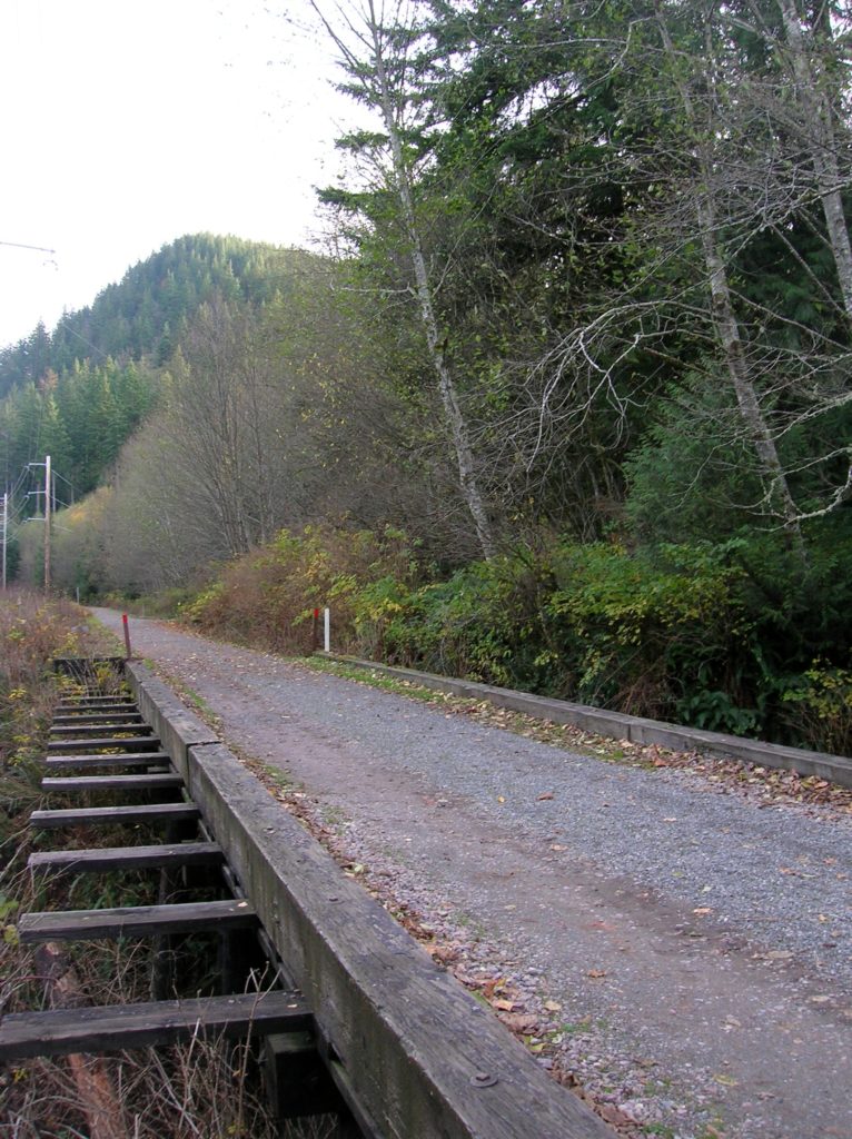
Begin your hike on the Palouse to Cascades Trails (formerly known as the John Wayne Pioneer Trail/ Iron Horse State Park). Follow this former rail line east and within 0.3 mile come to views of Christmas Lake off to your left. It’s a pretty peaceful place these days and not much of a hike. Since you’ve hardly broken a sweat, continue up the Iron Horse Trail another 0.6 mile. Shortly after crossing Boxley (Christmas) Creek on a trestle, look for a signed trail taking off right. Follow this well-defined path for a steep 1.2 miles 800 vertical feet grunt to 1,860-foot Cedar Butte. Find the misspelled geodetic marker and enjoy the view here of the Snoqualmie Valley including little Christmas Lake below. Hopefully all will be calm.
For detailed information on many great snow-free hikes in and near the Snoqualmie Valley, pick up a copy of my Urban Trails Eastside (Mountaineers Books)!
For other things to do and places to eat in the Snoqualmie Valley, consult NW TripFinder

