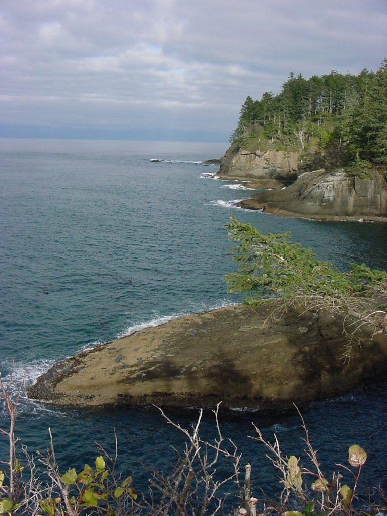
Cape Flattery─Hike to the northwestern most point in Washington State

Quick Facts:
Location: Olympic Peninsula Coast
Land Agency: Makah Nation Reservation
Roundtrip: 1.5 miles
Elevation Gain: 300 feet
Contact: Makah Indian Nation
Green Trails Map: Cape Flattery, WA- No 98S
Notes: Dogs allowed on leash, Makah Recreation Pass required ($20, available at Washburn’s General Store ,the Makah Museum and several other locations in Neah Bay).
Access: From Port Angeles follow US 101 west for 5 miles turning right onto SR 112. Continue on SR 112 for 64 miles to Neah Bay in the Makah Indian Reservation. Continue west 1.0 mile on Bayview Ave turning left on Fort Street. After .1 mile turn right onto 3rd Street. In another .1 mile turn left on Cape Flattery Road. Proceed for 7.5 miles to trailhead.
Good to Know: kid-friendly, exceptional bird watching, historic, snow-free winter hike
Hike to the northwestern most point in the continental United States. Here where the Strait of Juan de Fuca meets the Pacific, Cape Flattery protrudes into a sea of tumultuous waters. A land of dramatic headlands and deep narrow coves, Cape Flattery is an incredible place of sheer rugged beauty. Scores of sea birds ride the surf here and scavenge forbidding sea stacks.

Thanks to the Makah Nation, the stewards of this land, a well-constructed trail leads to this remote corner of the Northwest. Start through a mist-drenched Sitka spruce forest. Utilizing boardwalks and steps drop to a series of promontories that provide stunning vistas of the rugged cape. In .75 mile reach the final viewing platform teetering on the edge of terra firma.
Admire the cape’s abrupt contours of sea stacks, caves, and forbidding cliffs. Look carefully at this intimidating world where sea meets land, and you’ll see an abundance of life. Puffins and guillemots surf the turbulent waters. Murres nest in the fortress-like cliffs. Oystercatchers probe tidal pools left behind on offshore reefs. Sea otters, once on the brink of extinction, bob in protected coves. Whales too, can often be spotted farther out.
Directly offshore is Tatoosh Island. Named for a Makah chief, this 20-acre treeless island once served as a summer fishing camp for the Makah. The United States Coast Guard first constructed a lighthouse on the island in 1857. The current structure is automated. Now, only sea lions, seals, and sea birds live on Tatoosh.
The Makah have declared Cape Flattery a nature sanctuary; an enlightened move for this wild world sitting on the brink of the continent.

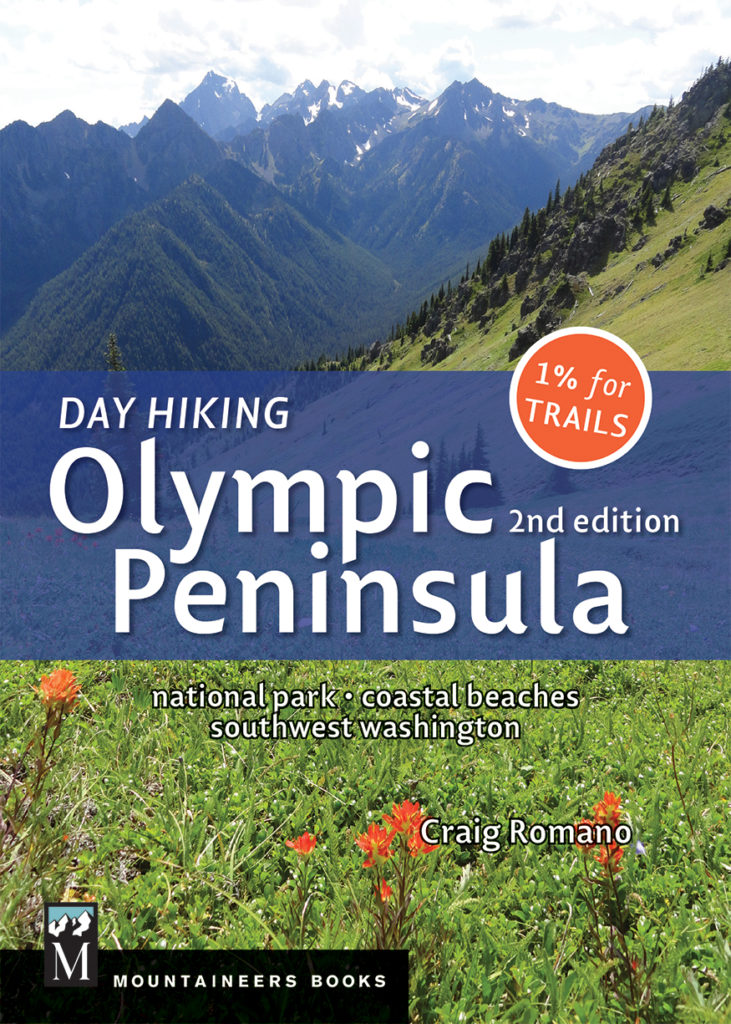
For more information on this hike and 135 others across the Olympic Peninsula, pick up a copy of my Day Hiking Olympic Peninsula Book second edition– the NUMBER ONE selling book on hiking in the Olympics! Check it out!
For information on where to stay and play on the Olympic Peninsula, consult the trusted information of Northwest TripFinder
