Scott Paul Trail

Loop on high slopes on Mount Baker
Quick Facts:
Location: Mount Baker National Recreation Area
Land Agency: National Forest Service
Distance: 8.0 mile loop
Elevation Gain: 2000 feet
Contact: Mount Baker–Snoqualmie National Forest, Mount Baker Ranger District
Map: Green Trails Mount Baker Wilderness no. 13S
Notes: Northwest Trail Pass or interagency pass required May 1-Oct 31; Sno-Park Pass required Nov. 1—Apr 30
Access: From Burlington head east on State Route 20 for 23 miles, turning left onto Baker Lake Road. Continue 12 miles and turn left on Forest Road 12. Proceed for 3.6 miles turning right onto FR 13 and follow for 5.2 miles to its terminus at trailhead.
Good to Know: kid-friendly, dog-friendly, practice Leave No Trace Principles, sweeping views, summer wildflowers, difficult creek crossings early summer
Hike a wonderful loop through resplendent alpine meadows and rugged slopes of glacial moraine. Enjoy breathtaking close-ups of Mount Baker as well as sweeping views of the surrounding sea of North Cascades peaks.
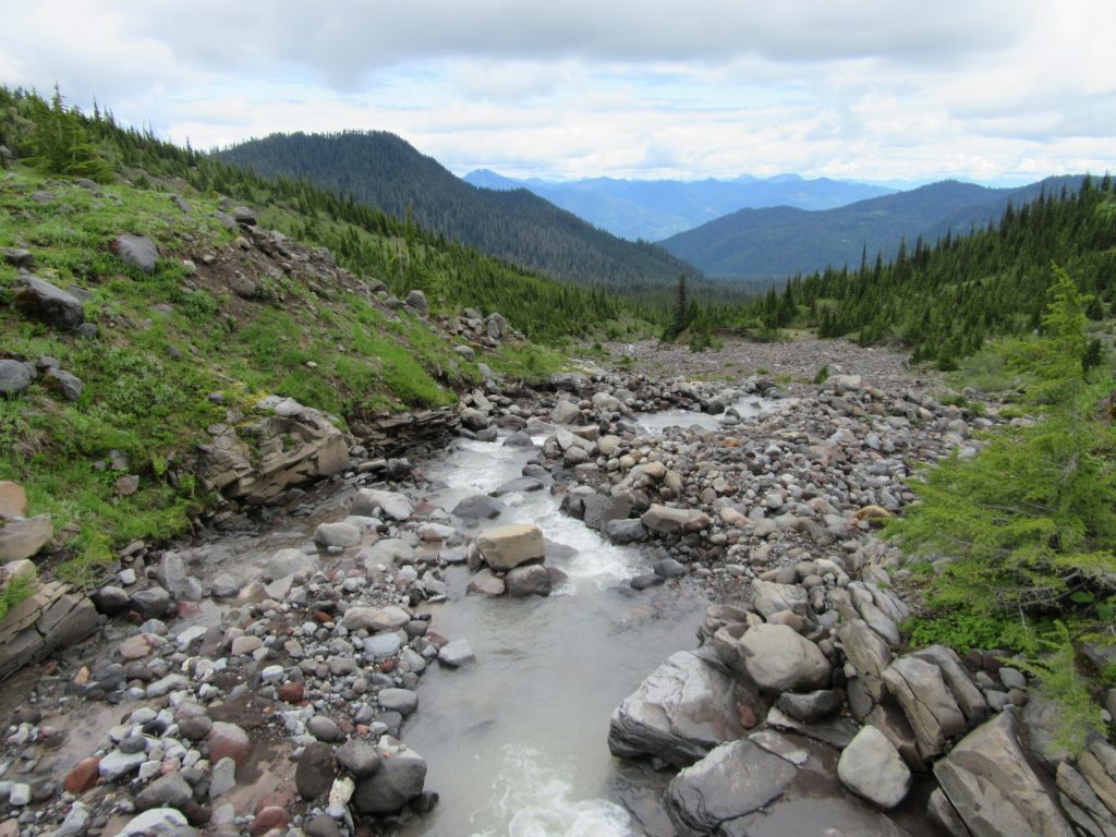
Start your hike on the Park Butte Trail entering the 8000-acre Mount Baker National Recreation Area. Soon come to a junction with Scott Paul Trail. Combined with the first 2 miles of the Park Butte Trail, it makes for a fine day loop and is best to loop clockwise. So, continue on the Park Butte Trail through Schriebers Meadow and across the gravelly outwash of Rocky Creek (a potentially difficult crossing). Then head up a forested ridge to the upper junction with the Scott Paul Trail, named in honor of a national forest trails and wilderness coordinator who died in an accident in 1993. It was Paul who conceived of and helped build this trail.
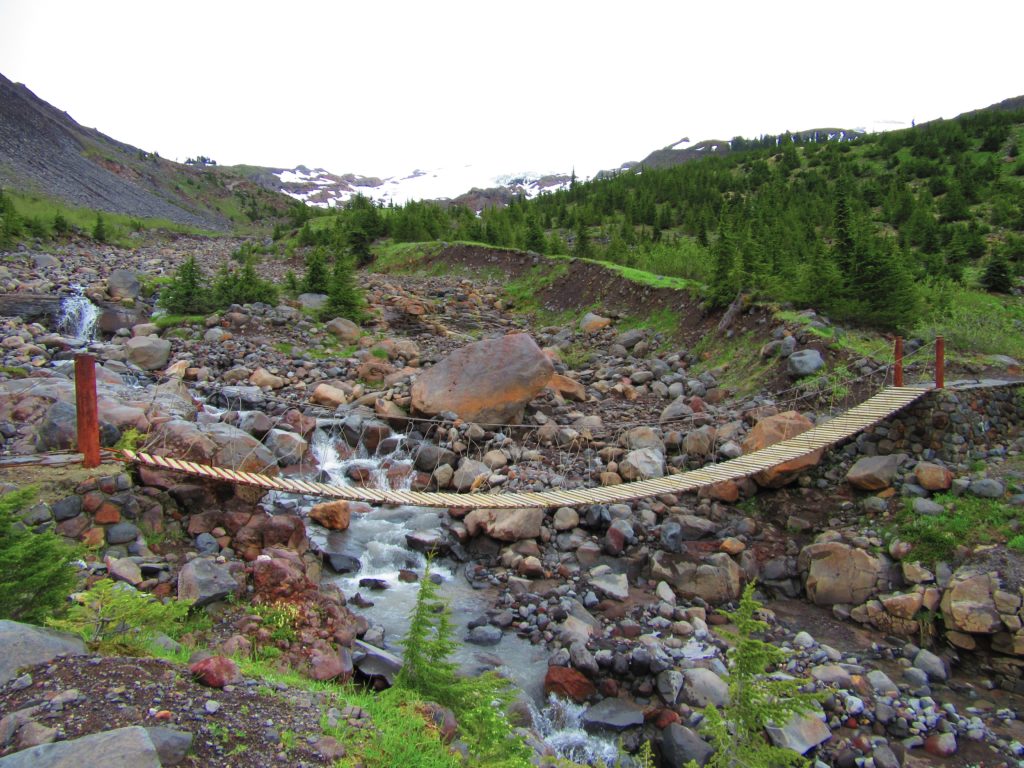
Now skirt the Railroad Grade glacial moraine and come to Rocky Creek where a suspension bridge from July through September safely transports you across (crossing can be dangerous without the bridge—check with the Forest Service to make sure it’s in place).

Then start climbing up a slow and sometimes rocky route leaving moraine for meadow. Savor the Views of Baker and nearby Park Butte, and the Twin Sisters.
Reaching a high point of 5200 feet, the trail contours the volcano undulating between moraine and meadow, rock gardens and parklands. Gaze out to Sloan, Glacier, Pugh, Whitehorse, and Three Fingers—all distinguishable peaks on the southern horizon. You’ll encounter several minor creeks along the way—easy rock hops or tricky boot soakers, depending on recent rainfall and snowmelt. Eventually begin losing elevation on an easy on the knees descent through huckleberry patches and giant hemlock groves to close the loop and arrive back at the trailhead.
For detailed information on this and many other Mount Baker area hikes, pick up a copy of my best selling Day Hiking North Cascades book.
