Marten Creek─Overlooked trail off the Mountain Loop Highway offers plenty of solitude

Quick Facts
Location: Boulder River Wilderness, Mountain Loop Highway near Granite Falls
Land Agency: Mount Baker-Snoqualmie National Forest
Roundtrip: 5.2 miles
Elevation Gain: 1,300 feet
Green Trails Map: Mountain Loop Highway WA- No. 111SX
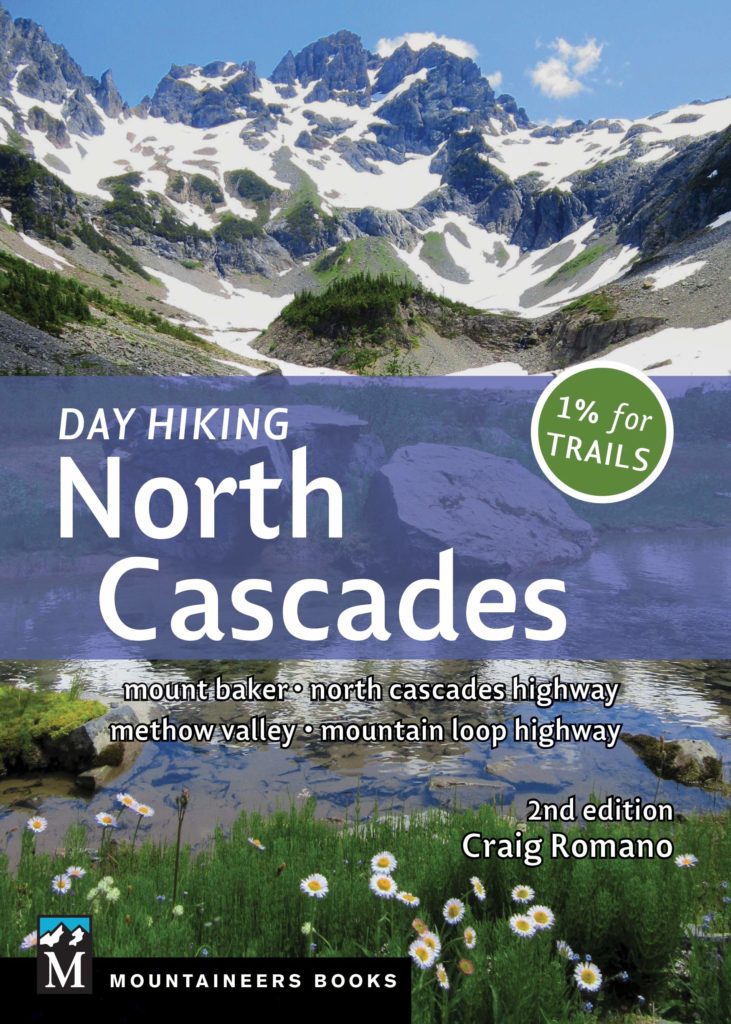
Recommended Guidebook: Day Hiking North Cascades 2nd edition (Mountaineers Books)
Access: From Granite Falls follow the Mountain Loop Highway east for 21 miles to trailhead located on your left.
Note: Parking may be difficult in snowy periods.
Contact: Darrington Ranger District: Mount Baker Snoqualmie National Forest (360) 436-1155
Good to know: dog-friendly, wilderness rules apply, historic, trail less traveled
Marten Creek is one of the loneliest and least hiked trails off of the Mountain Loop Highway. Venture up it anytime of the year and experience solitude and perhaps a few surprises along the way. The first two miles of the trail are in pretty decent shape. But beyond, the trail becomes increasingly difficult to travel with draping brush; large fallen trees and sections of tread resembling creek beds. When snow blankets the trail it makes for an interesting snowshoe route easily accessible by the Mountain Loop Highway. And while snowshoes may allow for easier travel when brush and logs are buried beneath a winter blanket, be aware that at about two miles the trail crosses an area prone to avalanches.
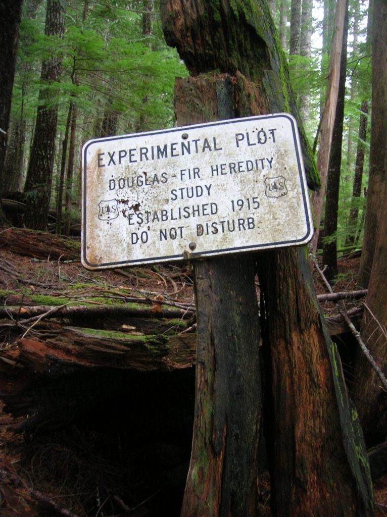
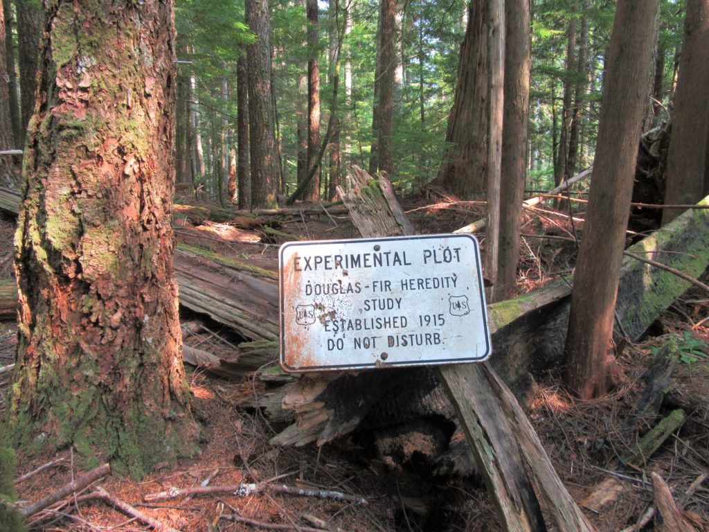
Starting by where Marten Creek tumbles into the South Fork of the Stillaguamish River, the trail immediately leaves the wild waterway behind to steeply climb up a thickly forested ridge. Pass by some gargantuan trees and enter the Boulder River Wilderness, a nearly 49,000-acre roadless area wedged between the North and South Fork Stillaguamish valleys. Now following an old road, continue steeply climbing coming to an experimental Douglas-fir seed plot. Established in an old burn area in 1915, seed “road signs” decorate the tract indicating different stocks of fir reclaiming the landscape.
Continuing on the old road bed which once serviced mines deep in the valley, the trail ascends a few more hundred steep feet to finally ease at about 1.2 miles (el. 2,400 feet). Now on a shelf high above Marten Creek the way traverses dark and dank woods. At about 2.0 miles the trail breaks out of forest to cross a small avalanche slope (el. 2,750 feet) littered with some big downed trees. There are some good, albeit limited views here across the creek to Gordon Ridge and up valley to Granite Pass which once served as a mining district. Liberty Mountain rises above the isolated pass.

Most hikers will want to turn around here, but if you are feeling adventurous, continue along on a much rougher and brushier route. The tread is still well defined but may be inundated with still and running water in places. The trail loses about 100 feet before gaining it back to end at a crossing of Marten Creek at 2.6 miles. The trail once continued beyond the creek to Granite Pass. Crossing the creek is difficult during periods of high water—and besides, the way beyond is now choked with brush and obscured with windfall making it a challenge even for experienced off-trail hikers. It’s best to call the creek the end of the line. Still, the lure of finding old mines and seeing the dramatic façade of Three Fingers from the Granite Pass tempts a few hardy souls each season to go farther. But don’t feel as if you are missing out, if you turn around at this point. On this trail you do not need to venture too far from the Mountain Loop Highway to experience solitude and a wild setting.
Marten Creek is one of 136 featured hikes in my fully updated and expanded Day Hiking North Cascades 2nd Edition (Mountaineers Book). For more details on this hike and others (including many not found in other guides), pick up a copy of this book today!
