Eagle Creek — Classic Hike overflows with stunning waterfalls

Quick Facts:
Location: Columbia River Gorge near Cascades Locks, Oregon
Land Agency: National Forest Service
Roundtrip: 12 miles
High Point: 1,100 feet
Elevation gain: 1,600 feet
Difficulty: moderate
Green Trails Maps: Columbia Gorge West no. 428S
Contact: Columbia Gorge National Scenic Area
Notes: Northwest Forest Pass or Interagency Pass required; Dogs permitted (but not recommended) on leash; steep drop offs and exposure—keep children near. High car smash-and-grab area, leave absolutely nothing of value in your vehicle.
Access: From Portland follow I-84 east to Exit 41 (Eagle Creek, Fish Hatchery). Turn right and after 0.1 mile, bear right continuing .4 to trailhead. If lot is full, park at picnic area near hatchery.
Good to know: exceptional waterfalls, historic, Mark Hatfield Wilderness, can be crowded especially on weekends
One of the most spectacular trails in America, not surprising Eagle Creek is also one of the most popular. Follow Eagle Creek through a deep chasm on a trail that’s as much of an engineering feat—blasted into ledge and tunneling behind a waterfall—as it is a scenic splendor with its more than a half dozen major waterfalls and basaltic towering canyon walls. For more than a century, folks of all walks of life have been enjoying this hike. The trail was constructed in 1915 in tandem with the Historic Columbia River Highway. The recommended hike here is to Tunnel Falls, but any distance along this trail to any of the falls will suffice.
Through a canyon draped in greenery and blackened snags from the 2017 Eagle Creek Fire, the trail follows alongside the creek gradually climbing ledges nearly 100 feet above it. Grab onto cable handrails if you’re not feeling too surefooted. At about 1.5 miles, catch a glimpse of Metlako Falls. A native name for the goddess of salmon, the anadromous fish definitely needs a higher power to negotiate this 100-foot-plus plunge, one of the tallest of Eagle Creek’s copious cascades.
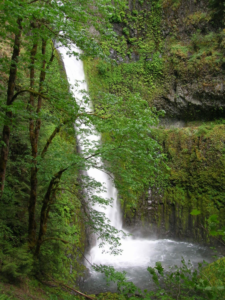
Next, hop across Sorenson Creek which cascades into Eagle Creek, but whose waterfall is not visible from the trail. At 1.7 miles, reach a spur dropping about 100 feet to the base of Lower Punchbowl Falls. Just beyond is an overlook of one of the Pacific Northwest’s most photographed cascades—the quintessential waterfall of Eagle Creek, 35-foot Punchbowl Falls. If it looks familiar, check your old calendars!
Now continue upstream crossing Tish Creek on a high bridge—then Fern Creek on an even higher bridge. The surrounding valley walls grow tighter. The trail is blasted into side ledge and there is considerable exposure. Keep children and dogs close.
At just over 3.0 miles stare at slender 90-foot Loowit Falls tumbling into a roiling, thundering Eagle Creek. Then clutch your heart—and the railings—and mosey across High Bridge—a solid steel structure spanning a fern-lined mossy tight chasm 120 feet above Eagle Creek. Now hike across terrain less intimidating, but spectacular never-the-less. At 3.5 miles, come to thundering Skoonichuk Falls.

Cross Eagle Creek again, returning to the east side of the canyon.. At about 4.9 miles enter the Mark Hatfield Wilderness. Cross Wy’East Creek (tricky in high water) near the base of a waterfall. The pass the steep and rarely hiked (and easy to miss) Eagle-Benson Trail and continue upstream for the crème-de-la-crème of Eagle Creek’s waterfalls. Continuing on a trail blasted through ledge, pass Blue Grouse Camp and reach Tunnel Falls at 6.0 miles.
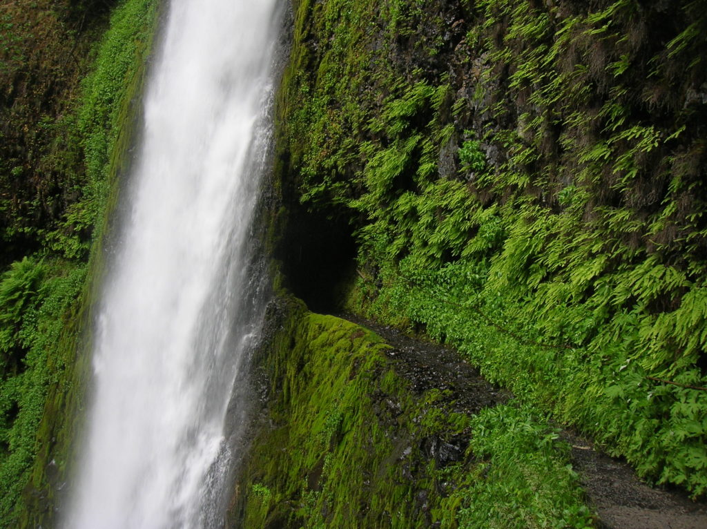
Here Eagle Creek’s East Fork plummets 160 feet over sheer basalt walls cloaked with maidenhair ferns into a verdant pool. Impressive, yes—but even more so is the trail which tunnels behind it. The early trail builders blasted a tunnel behind the falls and a catwalk into the surrounding ledge. Wet and potentially treacherous—it’s also an exhilarating trek through the tunnel and across the basin. Take your time and savor this Northwest classic!
If you want yet another spectacular waterfall, continue along a vertigo-inducing stretch of trail to 200-foot Twister Falls a short distance beyond. Otherwise begin your long return.

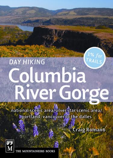
For more detailed information on this trail and 99 others on both the Oregon and Washington side of the Columbia River, consult my Day Hiking Columbia River Gorge book.
For information on family-friendly places to stay and other things to do and see in the Columbia River Gorge, visit Northwest TripFinder.

exit from I84 is closed.
the trail itself is closed due to a landslide approximately a mile in blocking the trail.
as of 5/14/22
To your knowledge is it still blocked?
Thank you for sharing this information and Beautiful pictures. In the early 50’s, my parents, grandparents and an aunt and uncle drove from Portland to the Eagle Creek trailhead. We fished the ‘Punchbowl,’ As a youngster that was an awesome experience. Your article brought back some precious memories. All the best to you.