Saddle Rock—Iconic landmark of the Wenatchee Foothills

Quick Facts:
Location: Wenatchee, Washington
Land Agency: WA DNR and Chelan-Douglas Land Trust
Roundtrip: 3.0 miles
Elevation Gain: 1000 feet
Contact: WA DNR and Chelan-Douglas Land Trust
Notes: Dogs must be leashed; be alert for rattlesnakes
Green Trails Map: Wenatchee/ Mission Ridge No. 211S
Access: From US 2 in Wenatchee head south onto State Route 285 (Wenatchee Avenue). After 2 miles, turn right onto Miller Street and continue for 3.0 miles, coming to a junction with Circle Street. Turn right, and in 0.3 mile come to trailhead at a large parking area at the road’s end near the Appleatchee Equestrian Center
Good to Know: Dog-friendly, kid-friendly, snow free winter hike, exceptional spring wildflowers
The Central Washington city of Wenatchee sits in a scenic valley on the banks of the Columbia River. It’s surrounded by a dramatic landscape where the snowy Cascades yield to the golden slopes of the Columbia Plateau. Long an agricultural center and transportation hub, a growing trail system is putting this city on the map to hikers and other outdoors recreationists.
Rising immediately above the city’s western neighborhoods is a series of rocky buttes; Castle Rock, Old Butte, Saddle Rock, and the Rooster Comb. These prominent landmarks not only give the city a scenic backdrop but also thanks to local conservationists, provide wonderful hiking opportunities literally in Wenatchee’s backyard.
Since 1985 the Chelan-Douglas Land Trust has been working with the Washington Department of Natural Resources, the city, and local land owners developing a system of trails open to hikers, mountain bikers, and equestrians.
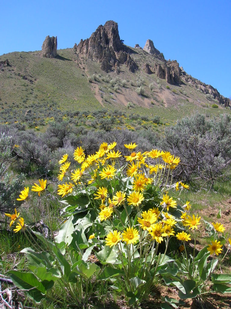
A good sampler is the trail up Saddle Rock. Short and steep, follow an old jeep track climbing 1000 feet to reach this 2,000-foot landmark. Traversing open slopes of sage and blossoming balsamroot, the way starts steep and stays steep. Except for a few scattered pines, shade is at a premium.
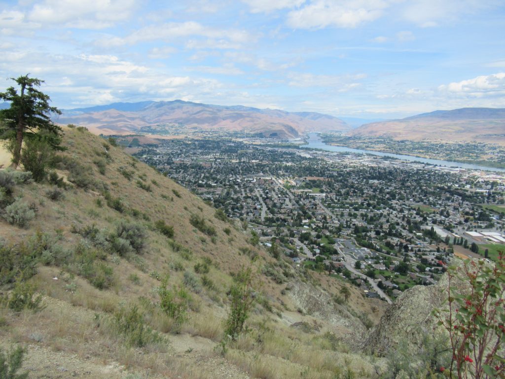
Views of Wenatchee and the Columbia River begin almost immediately. At .9 mile, come to a small pine grove at a trail junction. Saddle Rock’s saddle becomes obvious as you get closer to this butte’s eroded sandstone outcroppings.
Continue left on the main trail following a short series of switchbacks coming to a three-way trail junction as you crest the ridge. Views are good here, especially of the city and river, and south to Mission Ridge and Beehive Mountain. To reach Saddle Rock, continue right along the ridge coming to the rocky landmark within 500 feet. Use caution while checking it out, but view the surroundings with reckless abandonment. Survey the lofty evergreen covered Cascade peaks to the west; and the golden slopes of the shrub-steppe Columbia Plateau to the east. And gaze out over the city that proclaims itself Apple Capital of the World, and the waterway that powers the Pacific Northwest, the grand Columbia River.
Saddle Rock as well as many other area trails are described in detail in my best selling Day Hiking Central Cascades book (Mountaineers Books). Get your copy today!

