Oyster Dome─The Pearl of the Chuckanut Mountains

Quick Facts:
Location: Chuckanut Mountains
Land Agency: Washington Department of Natural Resources
Roundtrip: 6.5 miles
Elevation Gain: 1,900 feet
Special Note: Oyster Dome can be hazardous in icy and wet conditions. Trail can be extremely popular, opt for a weekday visit.
Contact: Washington DNR, Northwest Region; www.dnr.wa.gov
Access: Trailhead is located just past milepost 10 on SR 11 (Chuckanut Drive) 12 miles south of Bellingham, and 15 miles north of Mount Vernon. Do not park over fog line or in posted private property.
Good to know: Dogs permitted on leash, snow-free winter hike, Practice Leave No Trace principles, Mind the Music, (older) kid-friendly
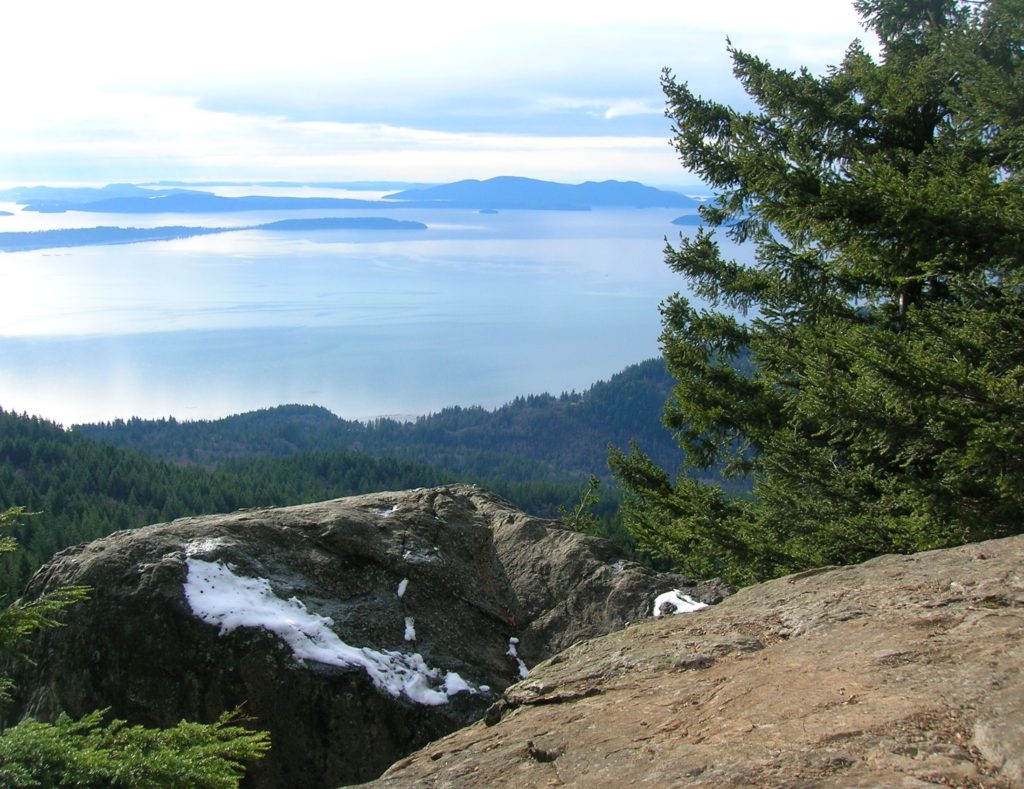
What the shell is the Oyster Dome? It’s a huge wind-swept, glacial-polished, exposed hunk of rock with over 350-feet of sheer cliff on Blanchard Mountain in the Chuckanut Mountains. From this prominent landmark, you can see spread out before you: the San Juan Islands, Vancouver Island, the snow-capped Olympic Mountains, the Skagit River Flats and a whole lot of saltwater!
The hike is short, but steep. Your route to the dome begins on the Pacific Northwest Trail; a 1,200 mile route from Olympic National Park to Glacier National Park in Montana. The trail takes off through a uniform second-growth forest. A few giant snags and lone firs stand testament to the cathedral forest that once blanketed the region. The trail is well-constructed and maintained—the work not of any government agencies but of a dedicated group of volunteers. Steadily ascend the verdant slopes of Blanchard Mountain. Rising from Samish Bay, the Chuckanuts are the only place in the Cascades where mountain meets sea.
At 1.0 mile reach a small ledge with big views out to the San Juan Islands. A half mile farther, head left on the “Samish Bay Connection” Trail. In another half mile, reach another junction. Bear right passing giant glacial erratics and springboard-notched cedars. Then continue climbing steeply to yet another junction. Head left passing rusty old logging relics, and crossing a small creek.
After one final push, reach the open promontory of the Oyster Dome, the pearl of the Chuckanuts. Be careful and keep children and dogs nearby as you enjoy the views from this glacial-polished and fractured exposed hunk of sheer cliff. Take in an amazing view of the San Juan Islands, Whidbey Island, Vancouver Island, the snow-capped Olympic Mountains, and the Skagit River Flats. You just might catch yourself thinking, “Aw shucks! This Oyster Dome is beautiful!”
For more detailed information on this hike and others in the Chuckanuts and throughout Western Whatcom County and the Skagit Valley-pick up a copy of my best-selling and informative Urban Trails Bellingham guidebook!
