Iceberg Point — Maritime scenery will leave you frozen in astonishment

Quick Facts:
Location: San Juan Islands National Monument
Land Agency: Bureau of Land Managment
Roundtrip: 3.8 miles
Elevation gain: 380 feet
Contact: San Juan Islands National Monument, Spokane District Office BLM
Notes: Dogs permitted on leash; do not park beyond Agate Beach Park; access is via private property which owners have generously granted permission—stay on trail and do not trespass onto surrounding private lands.
Access: From Anacortes, take Washington State Ferry to Lopez Island Landing. Follow Ferry Road south bearing left onto Center Road. Continue on Center Road bearing left onto Mud Bay Road. Follow Mud Bay Road and turn right onto MacKaye Harbor Road. Continue to Agate Beach County Park. Park here.
Good to Know: kid-friendly, dog-friendly, exceptional coastal scenery, exceptional wildflowers, snow-free winter hiking

Hike through native prairie grasses atop dramatic coastal bluffs taking in stunning views of the Olympic Mountains across the sparkling waters of the Strait of Juan de Fuca. Located at the southern tip of Lopez Island, 76-acre Iceberg Point is one of many small properties in the San Juans administered by the Bureau of Land Management. In 2013, these areas—many containing rare plants and important cultural sites—were declared a national monument by President Obama. Now protected, Iceberg Point which is one of the larger parcels, harbors native fescue grasses, prickly pear cactus, old-growth junipers, and several rare flowers, including a yellow population of chocolate lilies.
Start your hike by walking south on the county road soon coming to unpaved private Flint Road. Continue uphill on Flint and at 0.3 mile, turn right at a gated private road with an old saw as a sign, pegged high on a post marking the way to the point. Soon afterward, bear left at a green gate (do not trespass onto private property, on the right) continuing through mature forest on old road that eventually dwindles into trail.
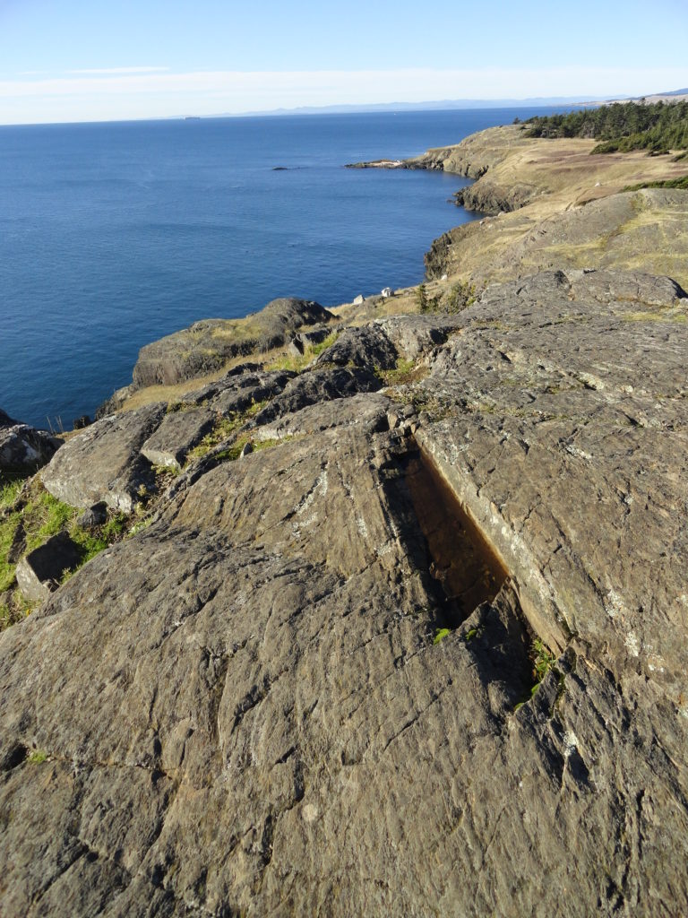
At 0.6 mile, reach the national monument. Keep hiking and reach a trail junction at prairie’s edge. Now, let the explorations begin. A trail right leads across one of the finest remaining prairies in the San Juans. Follow it skirting wind-contorted firs and pines; or take a parallel path closer to water’s edge and rounding rocky bluffs. Either way leads to Iceberg Point, a cliffy promontory housing a navigational beacon. You’re a long way from the North Atlantic, so you won’t see any icebergs here. The point was named in 1854 by George Davidson of the U.S. Coast Survey for the copious striations left in the ledges by Ice Age glaciers.
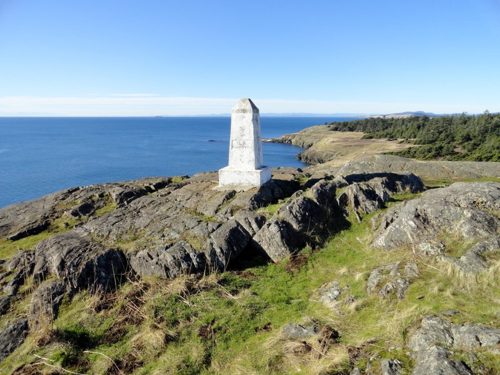
For present-day glaciers, look northeast across Outer Bay to Mount Baker and south across the strait to glacier-covered Mount Rainier and the snowy Olympics. Directly west are the golden slopes of Mount Finlayson and Cattle Point on San Juan Island. The views are mesmerizing. Next, retrace your steps to the first junction and head right reaching a high rocky knoll sporting a large white boundary monument. The view is sweeping. Notice the glacial erratics littering the terraced ledges. Notice the birds too—raptors and eagles are prolific here.
Continue on a rough-at-times trail, heading east across a landscape reminiscent of Ireland or Scotland. After passing through a grove of windblown firs, reach the trail’s end at a rocky point, with good views to islands and monument-parcel Point Colville. Return to your start or sit and absorb the scenery.

Iceberg Point is one of 136 hikes in my Day Hiking The San Juans and Gulf Islands, the most comprehensive guide to hiking the Salish Sea! Pick up your copy today!

Iceberg Point is also featured in my 100 Classic Hikes Washington book! Get your copy of this must-have hiking guide!
Looking for others things to do and for places to stay on the San Juan Islands, consult Northwest TripFinder.