High Pass
Awe-inspiring autumn alternative to a popular adjacent butte
Quick Facts:

Location: Mount BakerWilderness
Land Agency: National Forest Service
Distance: 5.2 miles
Elevation Gain: 1850 feet
Contact: Mount Baker–Snoqualmie National Forest, Mount Baker Ranger District,
Green Trails Map: Green Trails Mount Baker Wilderness no. 13SX
Recommended Guidebook: Day Hiking North Cascades 2nd edition (Mountaineers Books)
Notes: Northwest Forest or Interagency Pass required; wilderness rules apply; Final stretch of access road not suitable for many vehicles, adding 4.8 miles round-trip and 1500 feet elevation gain.
Access: From Bellingham follow the Mount Baker Highway (State Route 542) east for 45 miles, turning left onto Forest Road 3065 (the turnoff is just beyond the Department of Transportation’s Shuksan garage). Immediately bear left at an unmarked junction and continue on FR 3065 for 4.3 rough miles to the trailhead for Yellow Aster Butte. The road beyond this point is extremely steep, narrow and rough, suitable only for high clearance vehicles. Either park here and walk the road, or continue driving 2.4 miles to the trailhead at Twin Lakes.
Good to Know: dog-friendly, historic, exceptional alpine views, summer wildflowers, Practice Leave No Trace Principles
Looking for the same jaw-dropping alpine scenery, autumn colors and sheer rugged terrain you’ll find at Yellow Aster Butte—but without the masses? You’ll find it at nearby High Pass on the shoulder of formidable 7861-foot Mount Larrabee. It was once the domain of clambering miners, now replaced by clambering climbers, and those who seek the trail less traveled.
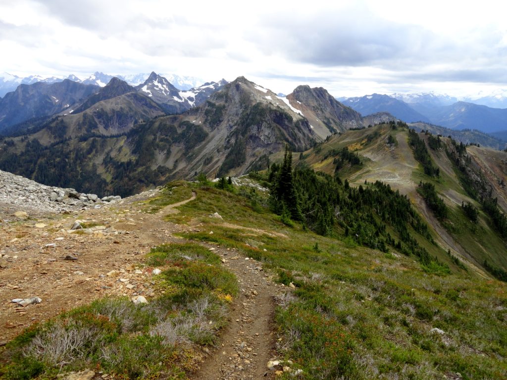
Start your hike on the Winchester Mountain Trail and immediately enter the Mount Baker Wilderness. After 0.2 mile reach the junction for High Pass Trail No. 676 and head right. Crest a small ridge, and behold Mount Larrabee and the sawtoothed Pleiades right in your face.
The way now drops 300 feet to skirt beneath cliffs and ledges, and it traverses steep slopes awash in an array of dazzling wildflowers during the summer months. Enjoy good views into the deep, dark Silesia Creek valley, once a bustling byway for prospectors and bootleggers. Sunlight struggles to kiss these abrupt north-facing slopes. Consequently, snow lingers long here, creating potentially hazardous conditions for hikers throughout much of summer. If the way is covered in snow, return later in the season and opt for explorations around Twin Lakes.
Reaching Winchester Creek, the trail steeply climbs on taut switchbacks to the tight little notch, 5600-foot Low Pass. Take in a good view of Tomyhoi Peak, and then continue climbing steeply through forest groves and berry patches to reach 5950-foot High Pass shortly after slabbing a little knoll. From this broad gap 2000 feet beneath the rusted summit of Mount Larrabee, sit back and enjoy splendid views near and far. Tomyhoi Lake, the Skagit Range, Hannegan Peak, and Ruth Mountain are among the scenic attractions.

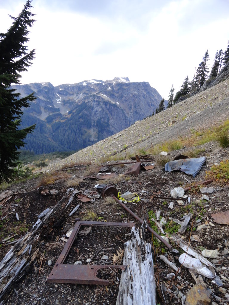
Look for faint tread heading left. You can follow it .3 mile to the ruins of the Gargett Mine. Please leave all artifacts in place. The real adventure, however, lies above. So continue on the main trail on a steep and aerie course 0.6 mile to 6750-feet “Even Higher Pass” (or as we’d say back in New England, Wicked High Pass). From this slightly exposed gap just beneath the Pleiades, brace yourself for an amazing view that includes just about every corner of the Mount Baker Wilderness, seldom-seen corners of the North Cascades National Park, and glimpses to far-off locales like Whitehorse Mountain and the Olympics. There are a few old mines up here too, but you’ll need the fearlessness and fortitude of a mountain goat to find them.
High Pass is one of 136 featured hikes in my fully updated and expanded Day Hiking North Cascades 2nd Edition (Mountaineers Book). For more details on this hike and others (including many not found in other guides), pick up a copy of this book today!
