Dishpan Gap—Crimson carpets at the headwaters of the Sky!

Quick Facts:
Location: North Fork Skykomish River Valley
Land Agency: Mount Baker-Snoqualmie National Forest
Roundtrip: 17.4 miles
Elevation Gain: 3,100 feet
Contact: Skykomish Ranger District: Mount Baker-Snoqualmie National Forest
Green Trails Map: Monte Cristo- No. 143, Benchmark Mtn- No. 144
Special Note: Northwest Forest Pass or Interagency Pass required; wilderness rules apply
Access: From Everett head east on US 2 for 50 miles to Skykomish turning left onto the Beckler River Road (FR 65). Continue north for 15 miles and just after crossing the North Fork Skykomish River come to a junction. Turn right onto FR 63 and proceed 4.3 miles to road’s end and trailhead.
Good to Know: Dog-friendly, Backpacking, exceptional autumn colors, Henry M. Jackson Wilderness, exceptional wildflowers, Practice Leave No Trace Principles
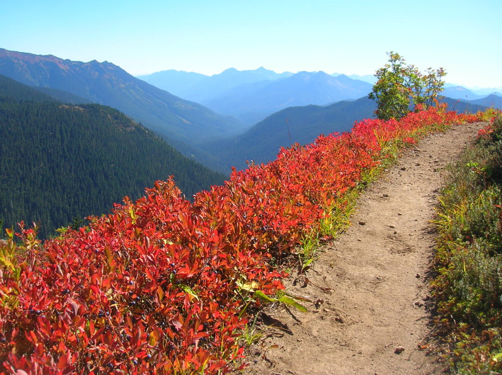
While lovers of resplendent autumn foliage usually look east to the Appalachians for deciduous delights—or at least east of the Cascade Crest for larches that light up in gold—along the Cascade Crest at the headwaters of the North Fork of the Skykomish River a most beautiful fall color fest can be enjoyed. For it is here at Dishpan Gap, a 5,600-foot notch in the Cascades and for miles south and north along the mile high divide separating eastern Washington from western Washington that a luxuriant carpet of blueberry bushes annually sets the ground afire in crimson.

Up and down the Cascade Crest where sprawling meadows that once danced with a dazzling display of brilliant wildflowers under the summer sun has now been overtaken by a crimson tide. Streaks of scarlet stretch across alpine meadows and parklands; complemented by touches of yellow of varying degrees from an assortment of accompanying shrubs. What are you waiting for? This resplendent showing is for a limited time only.
The trek to Dishpan Gap is long and beyond what most people can comfortably hike in a day. But meadows wait short of the gap and the destination is perfect for a one night sojourn into the wilderness. Start by following an old road and immediately enter the Wild Sky Wilderness. After about 1.4 miles the way transitions to bona fide trail; and in another half mile you’ll enter the Henry M. Jackson Wilderness. Just an administrative change, as the surrounding old growth forest continues and you won’t notice any differences from wilderness to wilderness area! At 3.2 miles bear left at the Pass Creek Trail junction, hiking farther up valley passing wetland pools, giant trees and nice riverside lounging sites. At 5.2 miles you’ll need to ford the North Fork Skykomish River—intimidating early season, usually just a rock hop this late in the year. Good camps here if you need to take a break for the day.
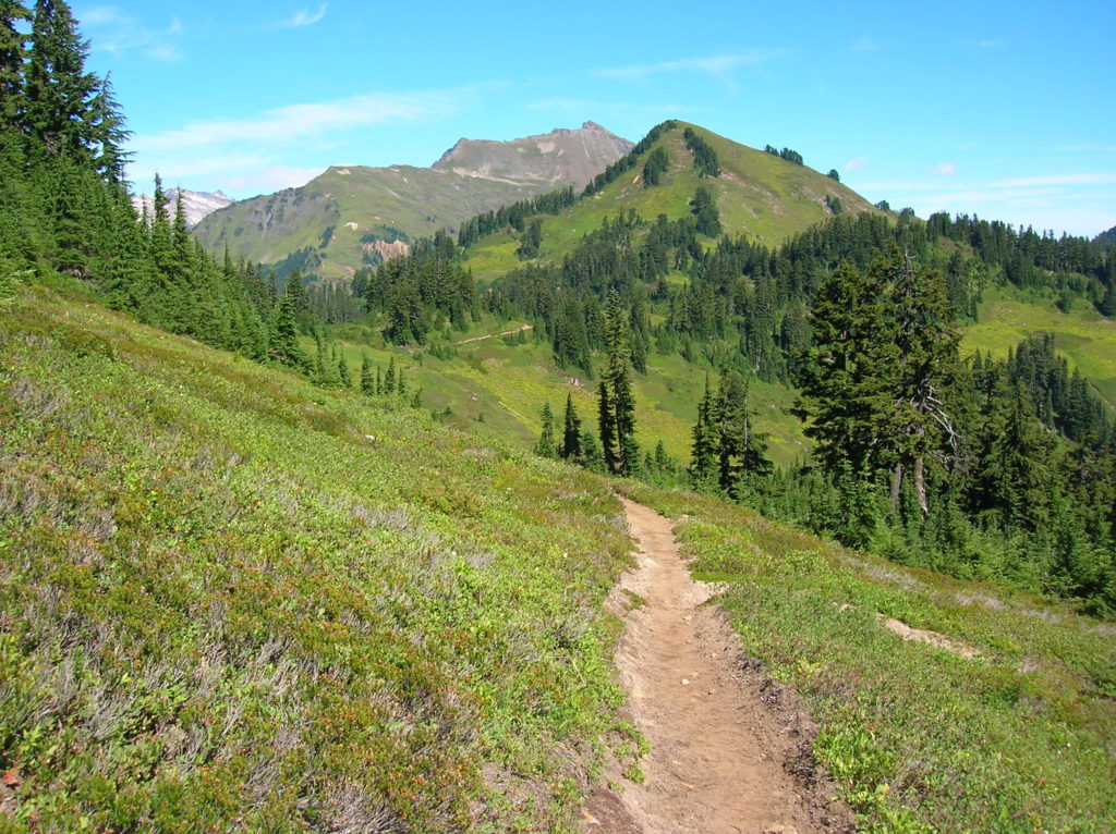
Then climb to a hanging valley of crimson berry patches shadowed by craggy Skykomish Peak. A steep climb follows through meadows and subalpine forest delivering you to the Pacific Crest Trail at Dishpan Gap. Foliage is wonderful—alpine views better! Savor horizon spanning views of waves of jagged peaks and rows of gently rolling ridges. Then saunter north or south seizing the season! Consider loop options returning via the Bald Eagle and Quartz Creek trails or the Pass Creek Trail or West Cady Ridge Trails.
For detailed information on this hike, loop options, and other nearby long-distance treks, pick up a copy of my best selling Backpacking Washington 2nd edition
