Eight Mile Creek–Enjoy elegant cedars and polished granite outcroppings on the way to Squire Creek Pass

Quick Facts:
Location: Boulder River Wilderness, Mountain Loop Highway
Land Agency: Mount Baker-Snoqualmie National Forest
Roundtrip: 6.0 miles
High Point: 4,075 feet
Elevation gain: 2,300 feet
Difficulty: difficult
Green Trails Maps: Mountain Loop Highway 111SX
Contact: Darrington Ranger District: Mount Baker Snoqualmie National Forest
Recommended Guidebook: Day Hiking North Cascades 2nd edition
Access: From Darrington, follow the Mountain Loop Highway for 2.8 miles turning right onto FR 2060 (across from Clear Creek Campground). Follow this rough in places road (high clearance required) for 5.5 miles bearing right onto FR 2065. Reach trailhead after .5 mile.
Good to know: solitude; exceptional old-growth, exceptional views, Boulder River Wilderness (wilderness rules in effect), Practice Leave No Trace Principles

There are two ways up spectacular Squire Creek Pass. Neither way is particularly easy, but both routes have their scenic and wild charms, and their drawbacks. The closer-to-Darrington Squire Creek Pass is now longer with a road-to-trail conversion. It also currently includes a brushy section in terrible need of maintenance and a tough talus crossing. The shorter Eight Mile Creek Trail is steep—but in pretty decent shape. Its main drawback is the rough road getting to it. Most vehicles with decent clearance will however make it to the trailhead just fine.
The trail starts on an old road through an old cut before entering the Boulder River Wilderness at about a half mile. Weave around and beneath some of the largest and oldest cedars in western Washington. The way then climbs steeply crossing an open avalanche chute granting good views to the cliffs of Helena Peak. Good cliffs above you too and it’s possible a handful of climbers may be clambering on this granite face.
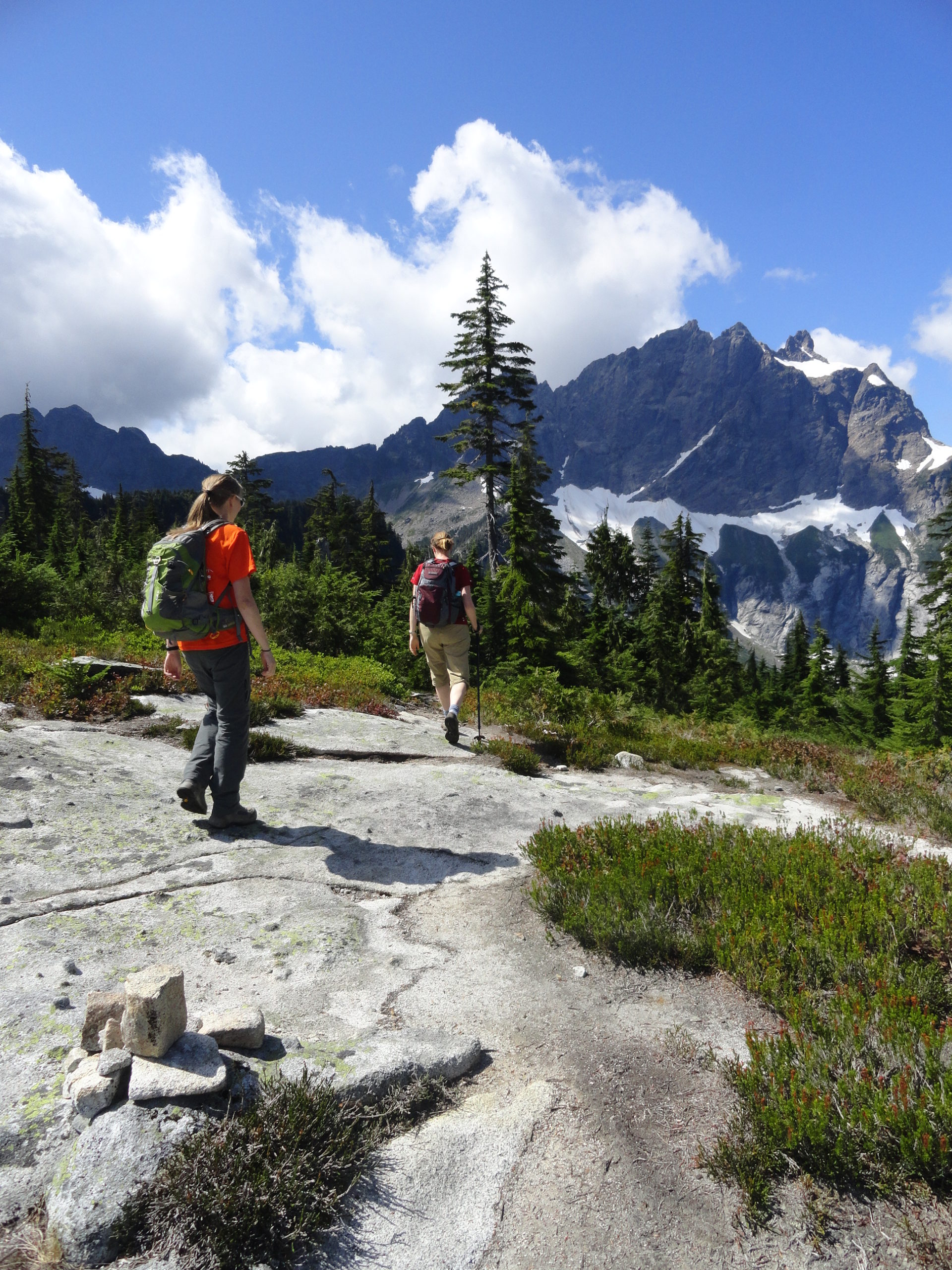
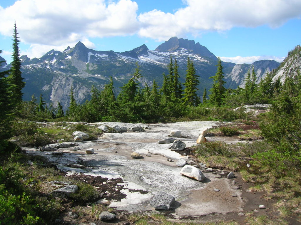
The way then re-enters primeval forest, skirting a slick rock creek bed, and resuming a steady ascent. Climbing higher, cross numerous slick rock creeks and traverse bountiful huckleberry patches. At 3.0 miles reach 4,075-foot Squire Creek Pass adorned with shiny granite slabs and blocks. The surrounding granite walls, ledges, and outcroppings may have you thinking you are in the high Sierras. Enjoy the breathtaking view of Three Fingers, Whitehorse Mountain, and Jumbo Mountain. They form a large and forbidding wall around the pass. Scramble easy ledges south for even better views—or kick back and relax—or harvest some berries!
For more detailed information on this hike and many other great hikes off of the Mountain Loop Highway and beyond (136 in all) consult my best selling Day Hiking North Cascades 2nd Edition book.
