Tomlike Mountain–There’s much to like about this Columbia River Gorge peak
Quick Facts:

Location: Mark Hatfield Wilderness, Columbia River Gorge, Oregon
Land Agency: Mount Hood National Forest
Roundtrip: 6.0 miles
Elevation gain: 1,300 feet
Green Trails Map: Columbia River Gorge -West No 428S
Contact: Mount Hood National Forest, Hood River Ranger Station
Notes: Northwest Forest Pass or Inter-agency Pass Required
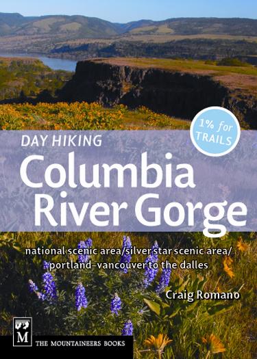
Recommended Guidebook: Day Hiking Columbia River Gorge (Romano: Mountaineers Books)
Access: From Hood River, head south on 13th Street (County Road 281) which eventually becomes Tucker Road. At 5.1 miles bear right onto Dee Highway, which is still CR 281. Continue for 6.2 miles bearing right to bridge crossing Hood River then bear left onto Lost Lake Road (signed for Wahtum Lake). After 4.9 miles, bear right onto paved FR 13. After 4.5 miles, bear right onto FR 1310 following for 6.0 miles to trailhead.
Good to Know: old-growth; Mark O.Hatfield Wilderness area; dog-friendly; backpacking opportunities; exceptional wildflowers in season, wilderness rules apply, practice Leave No Trace Principles
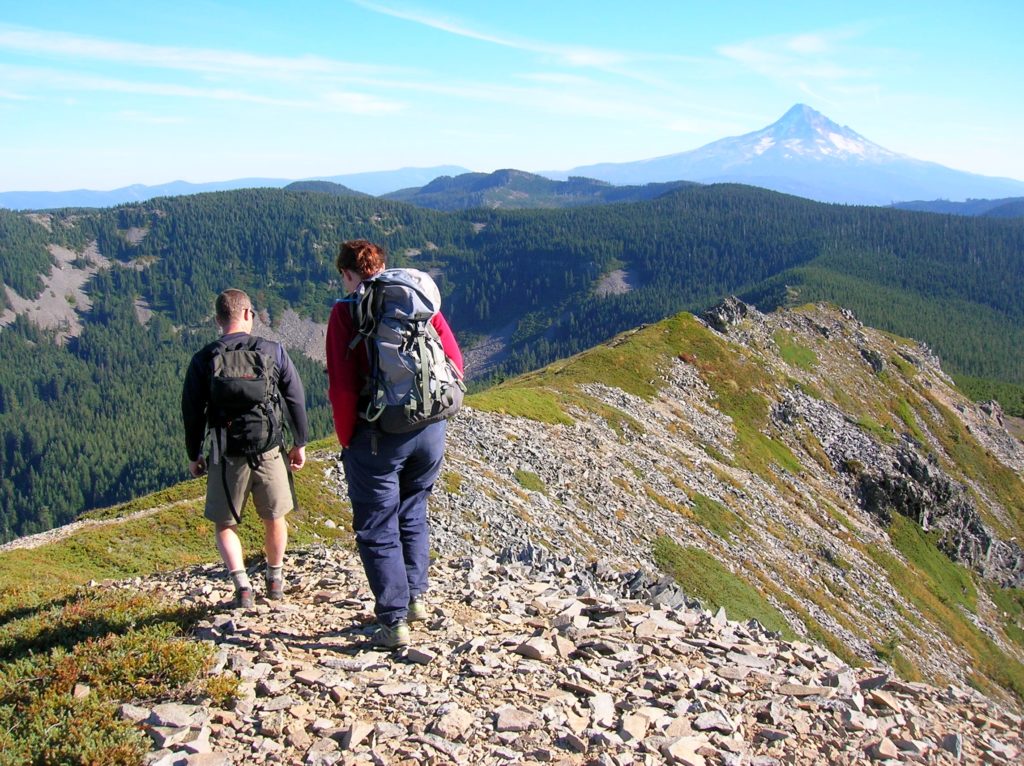
A rocky windswept high point along the Woolly Horn Ridge, you’re sure to like Tomlike’s flower-adorned view-bursting summit. This hike starts high and stays high but there are a few ups-and-downs along the way. Start on the Anthill Trail which takes off from behind the trailhead privy. This nice trail, often overlooked by the crowds that flock to Wahtum Lake gradually ascends up the spine of a ridge dividing the Eagle Creek and Hood River watersheds. En route there are excellent views of Wahtum, Chinidere Mountain, Mount Hood and even Mount Jefferson.
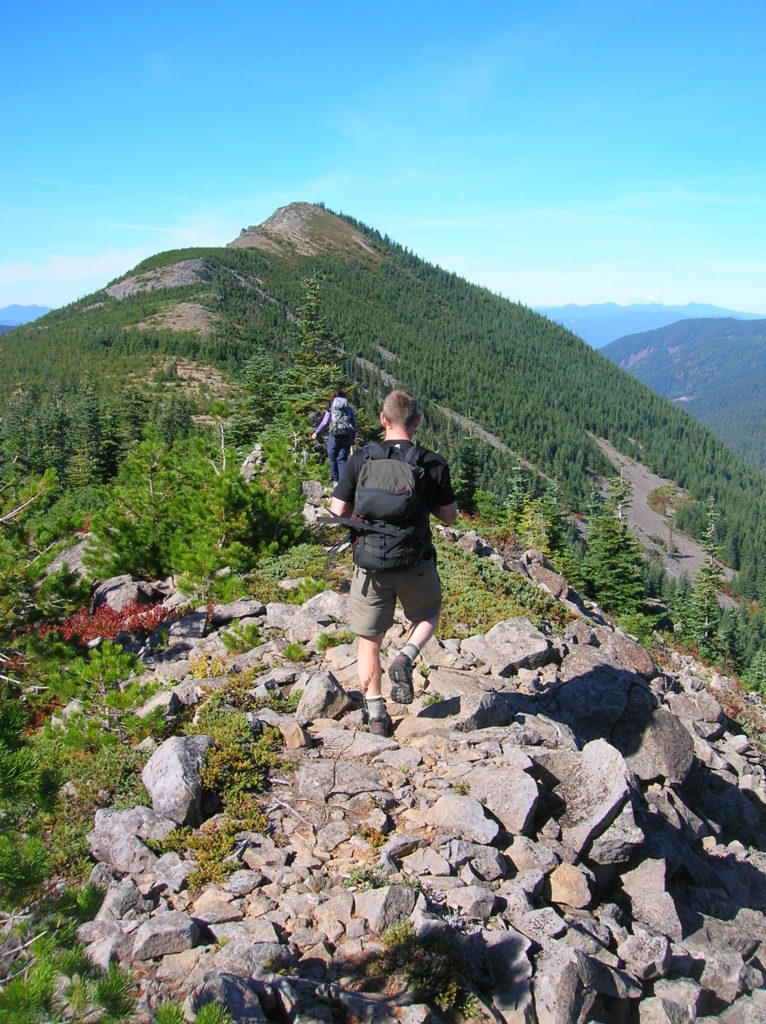
After cresting the Anthill’s high point, gradually descend through huckleberry patches reaching an old road—now the Wahtum-Rainy Lake Trail. Then continue straight soon entering the Mark Hatfield O. Wilderness coming to the Herman Creek Trail at 2.0 miles. Turn right and after a few strides look for an unmarked trail taking off left just before the main trail bends right and descends. Take this boot path. It’s a pretty straightforward albeit at times a little brushy route along the ridgecrest.

Continuing on ledge lined with stunted junipers, hikers who hail from the Northeast will feel right at home on this peak as it looks like it could be right out of New Hampshire’s rocky White Mountains. Follow cairns up and over a rocky knoll. Carefully work your way up shale and scree reaching the 4,555-foot summit at 3.0 miles.
Then hold on to your hat, for if the strong winds don’t knock it off, the horizon spanning views will! From Washington’s Larch Mountain to Oregon’s Larch Mountain, Silver Star, Rainier, St Helens, Adams, Dog, Tanner Butte, the fluted flattop Benson Plateau, and glistening Mount Hood Rising above them all! And wildflowers and bear grass too—swaying in the strong breezes.
Tomlike was Chief Chinidere’s son, and naming this beautiful mountain and the adjacent peak just to the north after these two members of the Wasco Tribe is a deep honor. And you’ll probably be honoring the beauty of the Columbia River Gorge country from atop this peak!

For more detailed information on this hike and 99 others in the Columbia River Gorge, check out my Day Hiking Columbia River Gorge Book.
For more information on other things to do in the area and where to eat and stay, consult Northwest Tripfinder.
