Black Lake─Wildflowers bring Black Lake back to life from past forest fires

Quick Facts:
Location: Chewuch River Valley
Land Agency: National Forest Service
Roundtrip: 10.2 miles
Elevation Gain: 800 feet
Contact: Methow Valley Ranger District: Okanogan-Wenatchee National Forest
Green Trails Map: Methow Valley 51SX
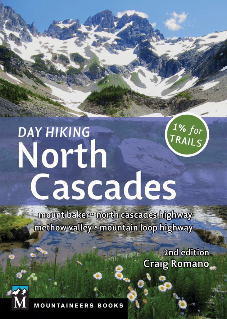
Recommended Guidebook: Day Hiking North Cascades 2nd edition
Special Note: Northwest Forest Pass or Interagency Pass required.
Good to Know: Dog-friendly, kid-friendly, wildflowers, Pasayten Wilderness, Wilderness rules apply, practice Leave No Trace Principles
Access: From Winthrop follow the West Chewuch Road 6.7 miles north bearing right onto FR 51. Follow this paved road for 14.52miles turning left onto FR Spur 100 (signed “Lake Creek Trail 2”). After 2.4 miles, reach the trailhead.
Named for its deep, dark waters, black also now describes much of the surrounding forest. In 2003 a wildfire seared it leaving charred stumps and blacked timber in its wake. But all is not lost—for this hike is quite delightful in late spring when pioneering flowers paint the understory in an array of vivid colors. It’s a gentle hike too, mostly along a babbling creek within the sprawling Pasayten Wilderness.
Starting in a patch of pines and firs that escaped the great wildfire of 2003, greenery soon succumbs to ghostly. After entering the Pasayten Wilderness, begin traversing a landscape of blackened and silver snags and blowdowns. But, nature regenerates quickly—and colonization is in full swing. Fireweed is prolific. Quaking aspens stake new ground. And blueberry bushes abound on the acidic soils. And as the forest is under reconstruction, Lake Creek continues its flow, filling the valley with sweet serenades. Birds too add sweet sounds to the surroundings. Woodpeckers play percussion on silvery snags, while kingfishers belt out numbers from overhanging branches. Thrushes, flycatchers, and nutcrackers hum along.
At 4.0 miles arrive at Black Lake where a nice sandy beach greets you with fine views of the surrounding high ridges. Large landslides have disturbed this peaceful body of water by adding extra sediment, further stressing local populations of endangered bull trout. Hopefully as the forest recovers the trout too will once again flourish. The trail continues along the lake for 1.1 miles traversing sun-kissed talus slopes—feel free to further explore as there are some great spots for lounging along the way!
For more detailed information on this trail and many others nearby, pick up a copy of my best selling and trusted Day Hiking North Cascades 2nd edition. Find detailed descriptions to 136 hikes in all–many not listed in other hiking sources.
