Whistler Canyon-big on bighorn sheep and Okanogan River views

Location: Okanogan Valley near Oroville
Land Agency: Okanogan-Wenatchee National Forest
Roundtrip: 5.0 miles
High Point: 1,950 feet
Elevation gain: 1,250 feet
Difficulty: moderate
Contact: Pacific Northwest Trail Association
Note: Dogs should be under strict control as to not disturb the bighorn sheep.
Access: From Tonasket, follow US 97 north for 14.5 miles to trailhead turnoff (.4 mile north of gravel pit at Milepost 329). Then drive .4 mile to trailhead.
Good to know: kid-friendly, PNT, exceptional wildlife viewing, spring wildflowers, Practice Leave No Trace Principles
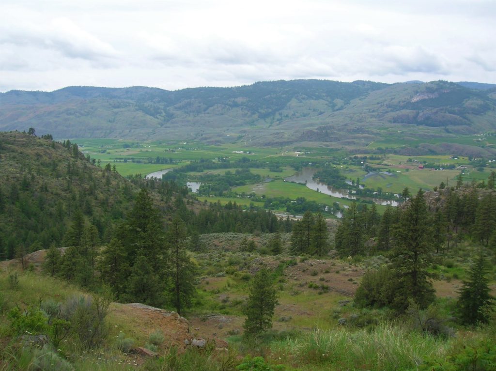
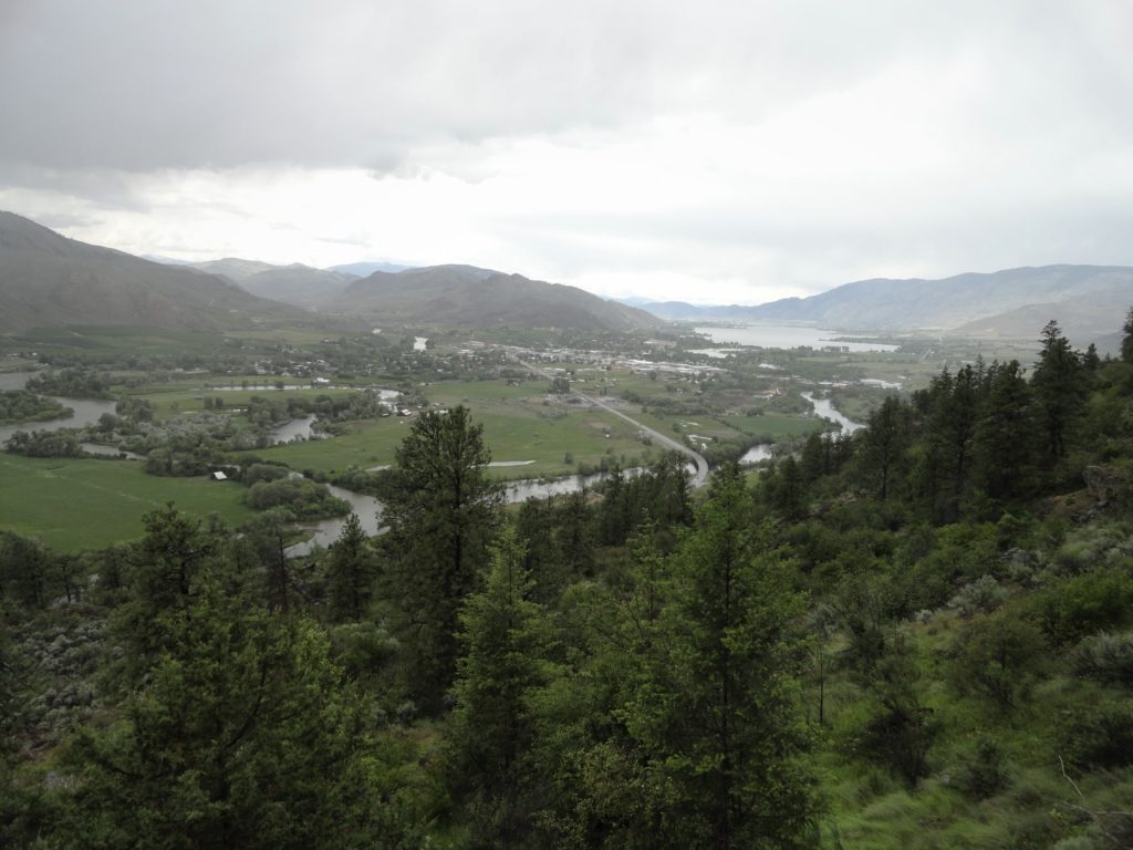
Whistlers? Yes—and lots of ground squirrels, too! But the biggest animal attractions here are the California bighorn sheep. The largest band in the state roams Whistler Canyon, and it’s not unusual to see more than 50 of them at a time! There are excellent views of the Okanogan Valley also from this section of the Pacific Northwest Trail. And if this hike to the canyon and Frog Pond isn’t enough, there are miles of connector trails you can continue on.
This trail is well-built thanks to volunteers from the Backcountry Horsemen, Pacific Northwest Trail Association, and others. Begin by winding along some ledges and through a small pine grove, reaching a junction at .3 mile with the Frog Pond Trail. This is a mandatory side trip. Follow it left beneath a canopy of ponderosa pines and up through a rocky cleft. At 1.0 mile it reaches a junction with the short .3 mile loop circling Frog Pond. The pond isn’t much to look at—but the surrounding forest of birch, aspen and cottonwood is pleasant enough. The real treat however is the viewpoint on the west side of the loop. Peer out at Oroville, Osoyoos Lake and into British Columbia; and straight down at the oxbowing confluence of the Similkameen and Okanogan Rivers.
Retrace your steps back to the junction and continue left shortly intersecting an old road. Turn left and after a few steps follow a bypass route around a private property inholding returning back to the old road at .5 mile from the trailhead. Now within BLM land follow the road into Whistler Canyon. Whistler Creek tumbles below. Watch above for the bighorns and if you spot them (better chances early and late in the day) tread quietly in their presence. Look for deer, turkeys, cedar waxwings, and whistlers too.

Pass a campsite in a grove of pines and cottonwoods. Then leave the creek and angle left traversing ledges with excellent viewing out over the Okanogan Valley, before switchbacking right returning above the creek. Look for a waterfall semi-hidden below. The trail eventually enters a forest of pine and fir reaching a gate and national forest boundary at 1.7 miles. Just beyond the trail—now an old woods road crosses the creek. This is a good spot to turn around and return savoring good valley views and perhaps catching sight of that band of bighorns.

For more detailed information on this trail and others in the area including many lesser known trails, consult my (co-written with Rich Landers) Day Hiking Eastern Washington