White Chuck Bench Trail — Glacier-fed Whitewater

Quick Facts:
Location: Mountain Loop Highway
Land Agency: Mount Baker-Snoqualmie National Forest
Roundtrip: 14 miles
Elevation gain: 1500 feet
Green Trails Map: Green Trails, Mountain Loop Highway, WA- no. 111SX
Contact: Darrington Ranger District: Mount Baker Snoqualmie National Forest
Access: From Darrington follow Mountain Loop Highway for 9.0 miles. Turn left onto FR 22 and proceed for .8 mile to trailhead.
Good to Know: dog-friendly, kid-friendly, snow free winter hiking; wildlife watching, practice Leave No Trace principles

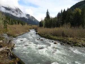
One of the few long river valley trails in the North Cascades accessible throughout the winter; the White Chuck Bench Trail was nearly completely destroyed by flooding in 2003. Offering seven miles of snow free winter hiking along the Glacier Peak fed White Chuck River, this trail was recently restored by the Washington Trails Association .
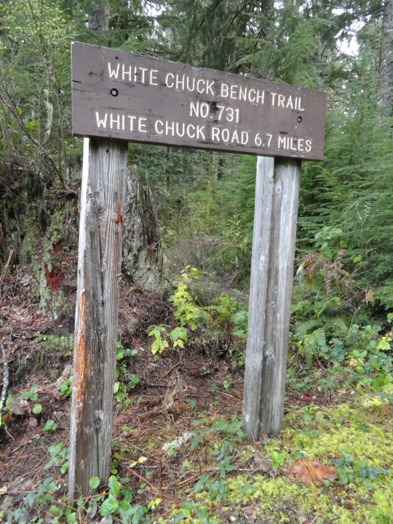
Deriving its name from the Chinook Jargon for whitewater, the appropriately named White Chuck River lives up to its name. It roars throughout the winter and frequently jumps its bed to claim some big trees and turf along the way. The White Chuck Bench Trail is 7 miles long and with all its ups and downs entails 1500 feet of elevation gain if hiked roundtrip. Consider a car shuttle for a one way. Hiking a few miles from either end is a good option too for a shorter hike. From the western trailhead the way starts in an old timber harvest area on a high bench above the crashing river. Gaps in the forest cover provides good views out to Mounts Pugh, Forgotten, Bedal and Sloan. Pass huge stumps attesting to the great forest that once grew in this lush valley.
Continue in thick forest coming to at 1.5 miles, a semi-open bluff providing an excellent view of the river and mountain above it sharing the name White Chuck. The way then switchbacks to commence its first of several small climbs. At 2.3 miles cross a creek (difficult in high water). Then traverse a patch of old-growth with a gigantic Doug-fir. Come to another difficult-in-high water creek crossing, then descend transitioning to a younger forest. The way then follows an old logging road crossing a couple of more creeks along the way.

Eventually leave the old road for new well-built tread and come to a cedar grove. The trail then comes to a high bench above the roaring river. Traverse old-growth groves and enjoy window views of the river. Cross a cascading creek that may wet your boots. The way then traverses attractive forest and steep slopes of glacial till.
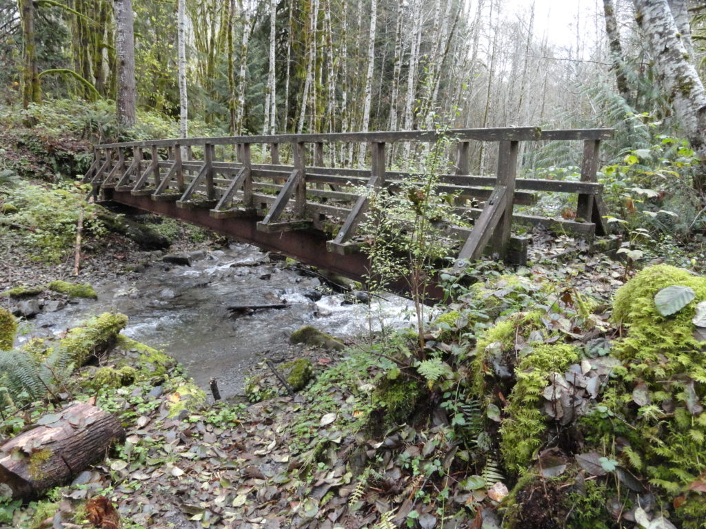
At 6.0 miles the trail switchbacks down a steep embankment to a bridged crossing of cascading Crystal Creek. The way then steeply climbs out of the ravine. Enjoy good views of Mount Pugh above the White Chuck River. Next the trail reaches its highest elevation, makes a bridged creek crossing—then steeply descends to reach its eastern trailhead on FR 23.

For more detailed information on this hike and many more on the Mountain Loop Highway, pick up a copy of my best selling Day Hiking North Cascades (2nd edition). 136 hikes in all–many not found in any other guides helping you find the trail less taken!Get your copy today!