Tiffany Mountain — Enjoy horizon-spanning views at the edge of the North Cascades

Quick Facts:
Location: Northeastern Cascades
Land Agency: Okanogan-Wenatchee National Forest
Roundtrip: 5.0 miles
Elevation Gain: 1,700 feet
Green Trails Map: Green Trails, Tiffany Mountain, WA- No. 53
Contact: Tonasket Ranger District, Okanogan-Wenatchee National Forest
Access: From Burlington follow SR 20 east to Winthrop. Then continue north on East Chewuch River Road for 6.5 miles and turn right onto FR 37. After 13 miles turn left onto FR 39 continuing for 3.2 miles to trailhead at Freezeout Pass.
Good to Know: dog-friendly, exceptional summer wildflowers, autumn larches, extensive views, practice Leave No Trace principles

One of the highest summits in the state that can be hiked up; 8,242-foot Tiffany Mountain teeters on the eastern edge of the North Cascades commanding far reaching views from the craggy Cascade Crest to the sprawling Columbia Plateau.
The trail starts at a lofty elevation of 6,500 feet, traversing pine groves and stands of larches (golden in autumn) on its way to windswept alpine tundra. At 2.0 miles, turn left at a junction and head up slopes of swaying golden grasses and bountiful wildflowers to Tiffany’s wide open summit. Marvel at the horizon-spanning views. To the north it’s a panorama of Pasayten Wilderness peaks and British Columbia’s hulking Snowy Mountain. South, waves of emerald ridges streaked gold by a profusion of larches fade into the distance. To the east the Okanogan Highlands yield to the sun-kissed Columbia Plateau. And west, the snowcapped North Cascades glisten in the sun.

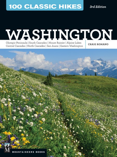
For detailed information on this hike (including mileage, elevation and maps) and other stunning hikes throughout the state, pick up a copy of my best selling 100 Classic Hikes Washington (Mountaineers Books)!
For Information on where to stay and dine in the Methow Valley, consult Northwest TripFinder