Cloverdale Farm -Explore this future park on the Stilly
Quick Facts:
Location: North Fork Stillaguamish River Valley near Arlington
Land Agency: Snohomish County Parks
Roundtrip: 4.5 miles
Elevation gain: 50 feet
Difficulty: easy
Contact: Snohomish County Parks
Notes: Dogs permitted on leash. All farm buildings are closed to public.
Access: From Exit 208 on I-5 head east on SR 530 for 4.0 miles to Arlington. Continue east on SR 530 for another 4.0 miles turning left (north) onto 115th Ave NE. In .5 mile, come to road’s end by a large farm. Park in small lot on left side of road just beyond the barn.
Good to know: Dog-friendly, kid-friendly, historic. Open to mountain bikes, snow free winter hike
Note: During the Stay At Home order addressing the COVID-19 Pandemic, you are allowed to get outside to walk, run or hike–but you should only access local parks that are open.
Stay Local, Stay 6 Feet Apart (Social-Distancing), No groups, and if you arrive and it is crowded, go elsewhere. Help Flatten the Curve.
This is a great hike taking you into both the past and into the future. For the past—you’ll be hiking through a former dairy farm and along an abandoned rail line to a town that exists now only in memory. And the future? This 127-acre riverfront parcel was purchased to become a Snohomish County Park and a trailhead for the Whitehouse Trail—a former 28 mile rail line extending from Arlington to Darrington. While development of these facilities is slated for the future, the farm and trail are in the public domain and open for exploration. Enjoy them before they do get their facelifts in which afterwards they are sure to become popular destinations.
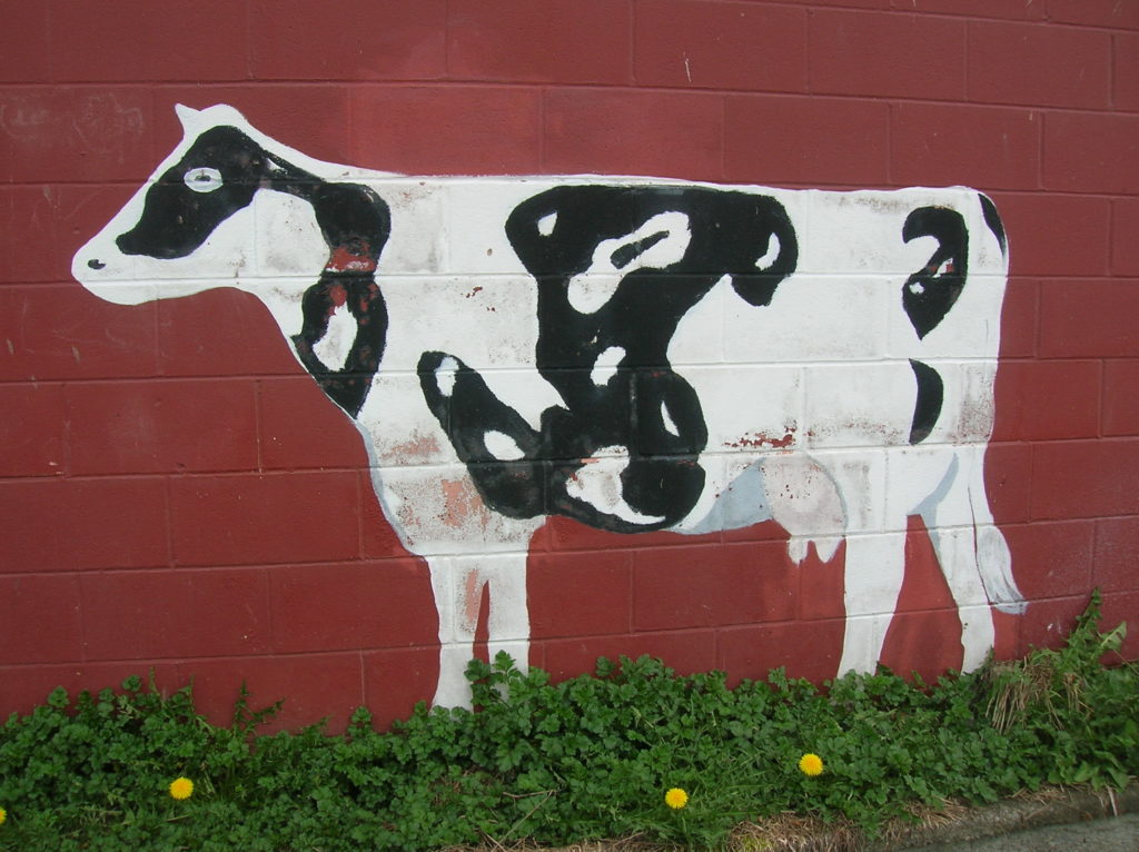
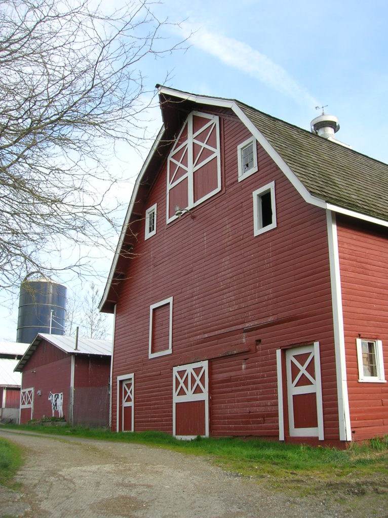
Start by walking the farm road between the big red barn with its cow mural and a private residence. Be sure to respect the residents’ privacy and enjoy the farm buildings just from the road. The old path drops down to a fertile floodplain, all once part of a dairy operation, then afterwards, a golf course. In 1998, Snohomish County bought this gorgeous tract along the North Fork of the Stillaguamish River with Conservation Future Funds.
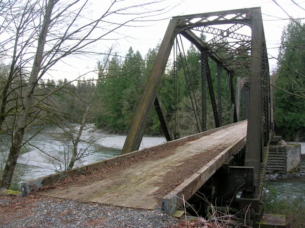
Access the old rail road bed here, which was once part of the Northern Pacific Railroad and now part of the Whitehorse Trail. Parts of this 28 mile trail are officially open, but the section here hasn’t yet been improved to trail standards. It can easily be hiked or biked, but it is a little rocky. Head west across the former farm and in .75 mile, come to a gorgeous trestle spanning the river. This is a good turning around spot for a short hike—but feel free to continue another 1.5 miles along the trail. On this stretch primarily through the private Pilchuck Tree Farm, enjoy excellent views of the river. Enjoy too perhaps a glimpse of an eagle, coyote or a duck or two. Turn around near a small wetland about 2.25 miles from your start. The trail continues another mile towards the Centennial Trail, but it is not recommended until it is improved.
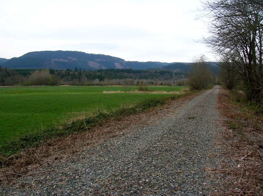
Return and look for hints of spring—blossoming skunk cabbage and new greenery on the towering cottonwoods. Listen to crooning tree frogs. And don’t forget to reflect that this old rail line once stopped at a town named Trafton, now a mere memory which will live on thanks to this preserved farm.
For detailed information on many other trails and parks throughout Western Snohomish County, Whidbey Island and Camano Island; Pick up a copy of my Urban Trails Everett Book (Mountaineers Books).
