Preston-Snoqualmie Trail — Overlooked rail trail between Snoqualmie Falls and Tiger Mountain

Quick Facts:
Location: Preston and Snoqualmie
Land Agency: King County Parks
Distance: 11.0 miles roundtrip
Elevation Gain: 500 feet
Contact: King County Parks
Notes: dogs on leash
Access: From Seattle follow I-90 east to Exit 22. Then turn left on SE 82nd Street, cross freeway and turn right onto SE High Point Way. Drive 0.4 mile and turn left onto SE 87th Place and come to trailhead on your right.
Good to Know: dog-friendly (on-leash), kid-friendly, historic, snow-free winter hikes, practice Leave No Trace principles, bike friendly
Recreate Responsibly: Keep 6 feet apart from other users, no groups, pack it in pack it out,
The Preston-Snoqualmie Trail is one of the Eastside’s oldest paved rail trails, yet it remains off of the radar to many hikers and runners. Wedged between more popular parks and trails is part of the reason. The other is that the trail ends abruptly with no view or connection to a town or other trail. It’s a perfect choice for social distancing in this age of Covid-19.
Start from near its western terminus and head east. The trail, a former rail line for the Seattle, Lakeshore and Eastern Railway (from which Seattle’s popular Burke-Gilman Trail was also born) begins a slow descent skirting below a handful of old homes from Preston’s early mill town days. Pass a path and stairway on the right leading to the 1939 WPA built Preston Community Center. The trail then leaves the small town traversing steep lush forested slopes above the busy Preston-Fall City Road. Tall cedars, cottonwoods, maples and Sitka spruce line the way.
Several small cascading creeks are crossed, one on an original trestle. Unfortunately the old trestle once spanning the Preston-Fall City Road and the Raging River is long gone. So here the trail leaves the rail bed and steeply drops to cross the busy road. Use extreme caution as drivers frequently speed through this crossing. The trail then separated by a concrete barrier follows aside the road for a short distance before following the old road for a short distance. Cross the Raging River—then follow the road again for a short distance.
The trail then climbs via short switchbacks back to the rail bed. The way then crosses a creek via a high old trestle and curves around a hillside. It crosses Lake Alice Road SE (alternative trailhead) and traverses wooded slopes above the Snoqualmie River. Pass some limited views of the valley and a couple of trails leading to neighborhoods within the Snoqualmie Ridge development.
The trail continues to its end at a gate. Here find three benches that used to look out at Snoqualmie Falls. No more—vegetation has reclaimed the view. In any case, you’ll hear the nearby falls roaring. It would be nice if the trestle beyond could someday be restored and this trail pushed all the way to Snoqualmie. For now however, this is it.

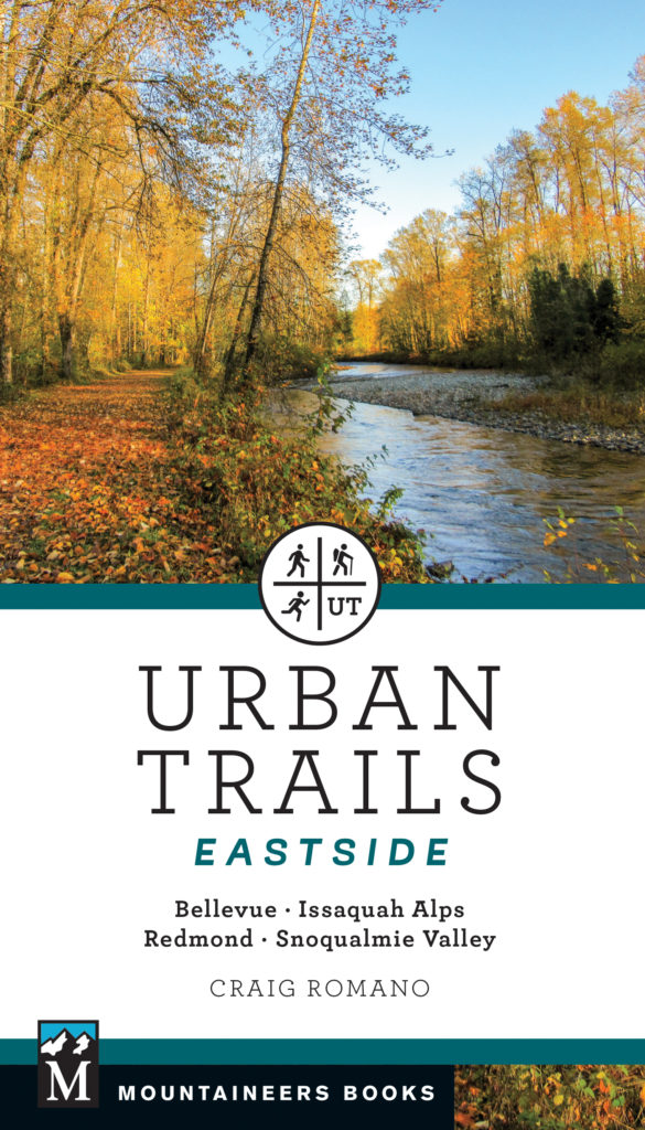
The Preston-Snoqualmie Trail is one of 60 featured destinations in my brand new Urban Trails Eastside (Mountaineers Book). For more details on this trail and others throughout Bellevue, Redmond, Kirkland, North Bend, the Snoqualmie Valley and Issaquah Alps pick up a copy of this wonderful book——today!