Fort Casey Historical State Park — Frolic through a fort, to a lighthouse, and on a pretty beach

Quick Facts:
Location: Whidbey Island
Land Agency: Washington State Parks
Round Trip: 1.8 miles of trails
Elevation Gain: up to 90 feet
Contact: Washington State Parks
Recommended Resource: Urban Trails Everett (Mountaineers Books)
Notes: Discover Pass required; Dogs allowed on leash
Access: From Mukilteo take ferry to Clinton on Whidbey Island. Then continue north on SR 525 for 22.0 miles. Turn left onto SR 20 and proceed for 3.4 miles passing the Coupeville-Keystone Ferry. Continue on S. Engle Road for 0.4 mile and turn left into Fort Casey Historical State Park and drive to large parking area and trailhead.
Good to Know: dog-friendly (on-leash), kid-friendly, historical, beach walking, campground, exceptional birdwatching, practice Leave No Trace principles
Occupying Admiralty Head on the east side of Admiralty Inlet, Fort Casey was once part of the national defense system protecting the country’s coasts and waterways. Along with Fort Flagler on Marrowstone Island and Fort Worden on the Quimper Peninsula, Fort Casey was part of the “Triangle of Fire,” designed to protect the entrance to Puget Sound. First constructed in the 1890s and once containing state of the art technology, after World War II the fort became obsolete.
Much of the fortifications were acquired by Washington State Parks while the former barracks and officers housing now known as the Camp Casey Conference Center was acquired by Seattle Pacific University (SPU). In the late 1980s the adjacent Keystone Spit was added to the state park. This magnificent stretch of coastline was threatened with ill-conceived housing developments, but thanks to dedicated conservationists and enlightened public officials (yes, they do exist) it was protected.
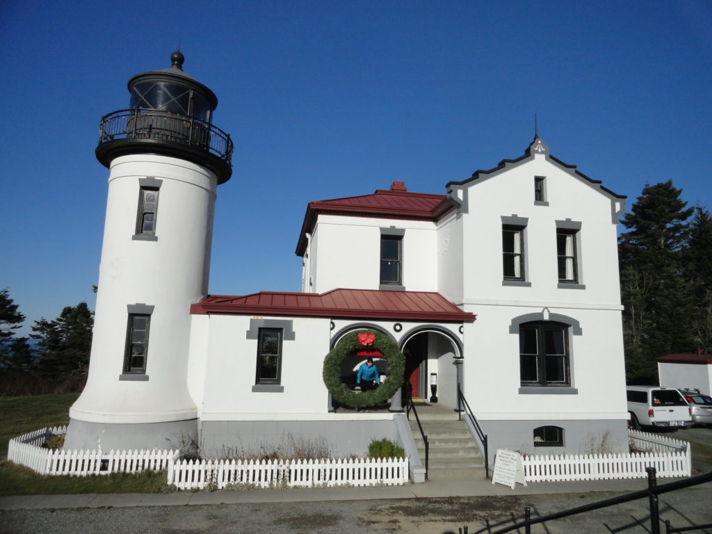
From the large day use parking area begin exploring. Just to the north is the elegant 1903-built Admiralty Head Lighthouse. It houses historical displays and is regularly (check park website for hours) open to the public. You are free to roam west and south too exploring the fort’s batteries. Have fun walking through, on, and around them but keep children close by as there aren’t too many railings and a fall can be less than pretty.

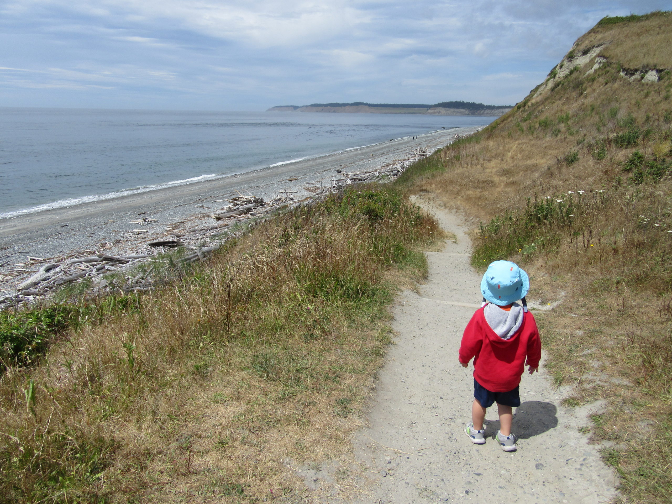
East of the parking area a couple of trails traverse woods and lead to the picnic area. From here you can cross the park road and take another trail past two of the quieter batteries and work your way back to the main installation. Be sure to also explore the trails leading off the bluffs and to the shoreline.
There’s additional public shoreline at the Keystone Spit—a part of the state park but separated from the main section by the Washington State Ferry dock. You can walk along S. Engle Road to reach it—or drive to a couple of parking lots there. Enjoy more than 1.5 miles of uncrowded beach walking on the spit. On the spit’s north side is Crockett Lake, a large estuarine lake that offers some of the best birdwatching on Whidbey Island. If you decide to check it out, please tread lightly and give all wildlife plenty of space.

For detailed descriptions (including maps) on this trail and many other trails on Whidbey Island, Camano Island and throughout Western Snohomish County, pick up copy of my Urban Trails Everett (Mountaineers Books).
For information on where to play and stay on Whidbey, consult Northwest TripFinder.