Thirteenmile Canyon– Wander one of wildest wilderness canyons in Eastern Washington

Location: Colville National Forest, Ferry County, Wa
Land Agency: National Forest Service
Roundtrip: 9.0 miles
Elevation gain: 1,700 feet
Contact: Colville National Forest, Republic Ranger District
Notes: beware of rattlesnakes
Access: From Republic follow SR 21 south 12.3 miles to trailhead located just within the Colville Indian Reservation Boundary. If coming from Wilbur, follow SR 21 north 56 miles to trailhead.
Good to Know: dog-friendly, historic, exceptional wildflowers, exceptional old-growth, old-growth forests, practice Leave No Trace Principles
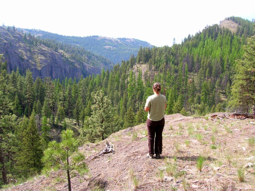
Traverse a deep and narrow canyon flanked by towering granite walls; before emerging onto its lofty rim graced with groves of stately old-growth ponderosa pine and sprawling meadows awash with wildflowers. Bear, deer and cougars prowl this wild corridor, while eagles and hawks ride thermals above looking for bounty. Thirteenmile Canyon contains some of the loneliest and most spectacular backcountry in Northeastern Washington.

The Thirteenmile Trail (which is part of the Pacific Northwest Trail and one of my 100 Classic Hikes of Washington) travels for actually 18 miles—from the cottonwood lined Sanpoil River to Hall Creek Road near the pine and larch shrouded Kettle Crest. An old sheep and cattle drive, this trail travels through the 4,700-acre Cougar Mountain and 12,700-acre Thirteenmile Roadless Areas. Both parcels are rich in wildlife and old growth timber and have long been sought by conservation groups for inclusion in the national wilderness preservation system. These lands too have great historic significance, and were once part of the Colville Confederated Tribes’ reservation.
The way immediately enters the impressive canyon of Thirteenmile Creek. Prone to extreme heat in the summer months, big pines provide some shaded relief. Spring is lovely with agreeable temperatures; and carpets of wildflowers brightening the canyon floor while serviceberry blossoms whiten the forest canopy. Look for larkspur, calypso orchid, arnica, balsamroot, bitterroot, and phlox. Listen to the cascading creek and the amorous calls of Pacific tree frogs. And keep an eye out for rattlesnakes—the canyon harbors a rather healthy population of them!

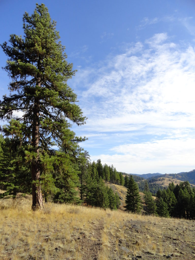
After some steady climbing reach an overlook on the canyon rim at about 1.8 miles. Survey the canyon and the terrain you just traversed. Now enjoy easy going along the rim through pine groves and thickets of Douglas maple that add golden streaks to the forest come autumn.
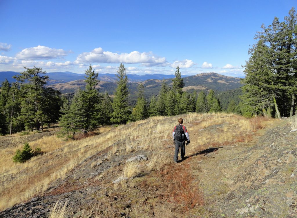
Cross a couple of draws that harbor creeks early in the season. Then continue along through open forest and grassy areas (watch for ticks) coming to a small wetland and the remains of an old herder camp at about 3.4 miles. A quarter mile beyond, reach an old road. Carry on if curiosity and wanderlust persists. Traverse grassy openings and groves of mature trees where woodpeckers, jays, and nutcrackers abound filling the air with their cacophony of sounds.
At 4.5 miles crest a small ridge (el. 3,750-feet) granting views of the surrounding wild and lonely hills and lonely Thirteenmile Mountain to the east. This is a good spot to call it a day. From here the trail switchbacks downward undulating between meadows and pockets of larch and aspen eventually reaching the Cougar Trailhead on FR 2054. You can continue beyond for many more miles through some of the wildest and prettiest country in northeastern Washington. If transportation can be arranged consider a one way trip from the Bear Pot or Cougar Trailheads down to the Sanpoil River Trailhead.
For more information on this hike (including maps and stats) and 124 others throughout Eastern Washington, check out my and Rich Landers’ Day Hiking Eastern Washington; the most comprehensive guide to hiking trails in the region.

For more information on where to stay and play in Eastern Washington, check out Northwest TripFinder.
Looking for a comfortable place to stay in Republic? Consider the Northern Inn, my go to place whenever I am in town.