Skyscraper Mountain–Enjoy sweeping views of Rainier from this towering summit

Location: Mount Rainier National Park
Land Agency: National Park Service
Roundtrip: 7.0 miles
High Point: 7,078 feet
Elevation gain: 1,500 feet
Difficulty: moderate
Green Trails Map: Mount Rainier Wonderland Map 269S
Contact: Mount Rainier National Park
Note: Park entrance fee; dogs prohibited
Access: From Enumclaw, follow SR 410 east to Sunrise Road. Turn right and proceed (passing park entrance station) for 15.5 miles to large parking area at Sunrise.
Good to know: exceptional wildflowers, exceptional views, exceptional wildlife viewing, practice Leave NO Trace Principles, Don’t be a surface pooper, Can the tunes,
One of the many lofty satellite peaks surrounding and shadowed by Mount Rainier, Skyscraper Mountain is an easy scramble reached by an enjoyable and view-packed hike. Pick your initial route to reach this mountain. The direct and least interesting way is via a service road that once served as a car camp loop—the longer Sunrise Rim Trail to the Wonderland Trail passes by lovely Shadow Lake—and the high route travels along Sourdough Ridge. My suggestion is to head to Skyscraper via Sourdough and return via the Sunrise Rim Trail. All three ways lead you to a high saddle, host to Frozen Lake (Sunrise’s frosty water supply) and a busy trail junction offering five directions to head out on!

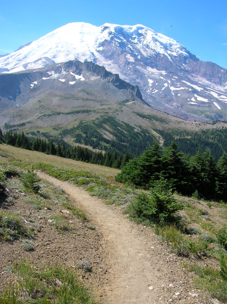
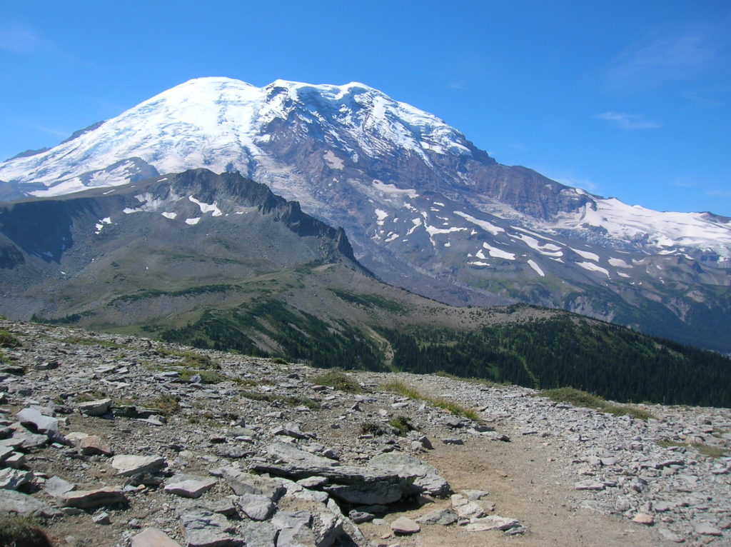
Head west on the Wonderland trail and descend slightly through alpine tundra to reach the Northern Loop Trail in about .75 mile. Bear left continuing on the Wonderland Trail losing a couple of more hundred feet along the way. Mount Rainier and Burroughs Mountain loom overhead—Skyscraper Mountain rises in the immediate distance, while lingering snowfields, bubbling springs and lounging marmots litter the surrounding alpine tundra.
At about 3.0 miles (depending on which trail you initially began on) from your vehicle reach 6,700-foot Skyscraper Pass. The route to the mountain of same name takes off right briefly dropping, and then heading straight up the rocky open slopes of the mountain. While this path was never officially built, it is an easy route to follow and one that requires no special skills other than a little sweat and determination. Once atop ole Skyscraper, stare south to Rainier’s seemingly infinite fields of snow and ice, west to the Winthrop Glacier and the craggy peaks that line the Northern Loop Trail, and north to a sea of peaks reaching to Mount Baker. The skyscrapers of New York, Toronto, Tokyo and Sao Paulo never provided this kind of view!

For more information (including maps) on hiking Mount Rainier’s Northern Loop, consult my best selling Backpacking Washington book.
For more information on staying and playing in and near Mount Rainier National Park consult Northwest TripFinder.