Skyline Divide — A mile high carpet of wildflowers

Quick Facts:
Location: Mount Baker Highway, North Cascades
Land Agency: National Forest Service
Roundtrip: 9.0 miles
Elevation gain: 2500 feet
Difficulty: moderate
Green Trails Map: Mount Baker Wilderness 13S
Contact: Mount Baker Ranger District: Mount Baker -Snoqualmie National Forest
Access: From Bellingham follow SR 542 (Mount Baker Highway) east for 35 miles turning right onto FR 39 (Glacier Creek Road). Immediately turn left onto FR 37 (high clearance recommended) reaching trailhead at 12.8 miles.
Notes: Northwest Forest Pass (or interagency pass) required; wilderness rules apply
Good to know: Kid-friendly, dog-friendly, exceptional wildflowers, Practice Leave No Trace Principles, Don’t be a surface pooper, Leave the music at home
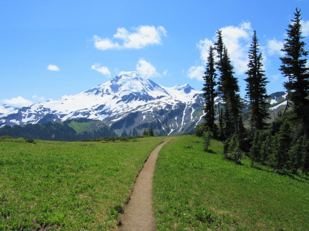
Wander through miles of blossom-carpeted meadows along a rolling lofty ridge radiating from glacier-cloaked Mount Baker. Skyline Divide is one of Washington’s supreme wildflower hikes; and one of my 100 Classic Hikes! And while your nose will be to the ground admiring asters, lupine, bistorts and valerian—the views from this 6,000-foot plus ridge are pretty spectacular too.

Immediately begin climbing, traversing beautiful stands of mature silver fir. At 2.0 miles crest a 5,900-foot grassy knoll unfurling a majestic backdrop of Mount Baker. Look out to other impressive peaks too; Shuksan, Ruth, Table, Goat, Winchester, and BC’s cloud-probing Cheam Range and stark faced Mount McGuire
This is a good place to stop for a short hike—but it only gets better down the trail. So, carry on dropping a little into a small saddle before heading up to the next bump, a 6,215-foot knoll. With Baker now breathing upon you and striking a small resemblance to Rainier from this angle, come to an unmarked junction at 3.5 miles in a small saddle. The trail left continues for one mile dropping a couple hundred feet into a wild peaceful basin. The trail right continues on a rougher route along the divide climbing higher. Over ledge and through krumholtz and heather work your way up to yet another knoll, number six if you are keeping track. Call it quits at 4.5 miles upon this 6,563-foot gem. Beyond to Chowder Ridge is strictly for climbers and goats. Look at all those mountains!

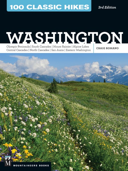
For more detailed information and maps on this spectacular hike and others throughout the state, pick up a copy of my 100 Classic Hikes Washington 3rd edition (Mountaineers Books)!
For great family-friendly ideas on where to stay and other places to play near Mount Baker, consult Northwest TripFinder