Diablo Lake– Hell of a lake, but not a devil of a hike

Quick Facts:
Location: North Cascades Highway
Land Agency: Ross Lake National Recreation Area
Roundtrip: 7.6 miles
Elevation Gain: 1400 feet
Contact: North Cascades National Park
Detailed Information: Day Hiking North Cascades (Mountaineers Books)
Notes: Dogs must be leashed. Access road gated at 4:15 pm during winter
Access: From Marblemount follow SR 20 east for 21.5 miles. Then turn left onto the Diablo Dam Road and proceed 1.2 miles (crossing the Diablo Dam) to the trailhead.
Good to Know: excellent lake and mountain views, suspension bridge, North Cascades Environmental Learning Center, historic, dog-friendly (leashed), kid-friendly, practice Leave No Trace Principles
Formed when the waters of the Skagit River were dammed back in the 1920s to power the ever-growing city of Seattle, Diablo Lake is a hell of a beautiful (albeit not natural) body of water. Filled with glacial flour, the lake becomes turquoise when the sun’s rays glance off the suspended particles. On this 3.8 mile trail you’ll have a couple of opportunities to look out over the lake and its impressive gorge.

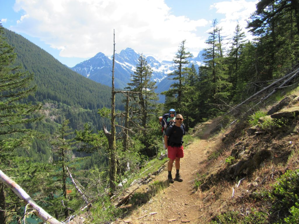
The trail starts by skirting the North Cascades Environmental Learning Center; a nonprofit educational institute serving learners of all ages. Next come to a junction with the Sourdough Creek Trail. Continue straight crossing Deer Creek. Then follow alongside it in a cool glen and cross it several times before beginning to climb. Traverse the first of several talus slopes and come to a short spur right to a viewing area in a powerline clearing. The view is better in another 0.25 mile along the main trail. Gaze south to prominent peaks Pyramid, Snowfield, and Colonial and east to Davis Peak hovering above Diablo Lake.
The trail then climbs some more teetering on the edge of a spectacular gorge. Keep children and pooches nearby. Stare down the forbidding canyon walls and marvel at the waterfalls plummeting 700-plus feet down them. Directly across the gorge, cars whirl by on the North Cascades Highway.

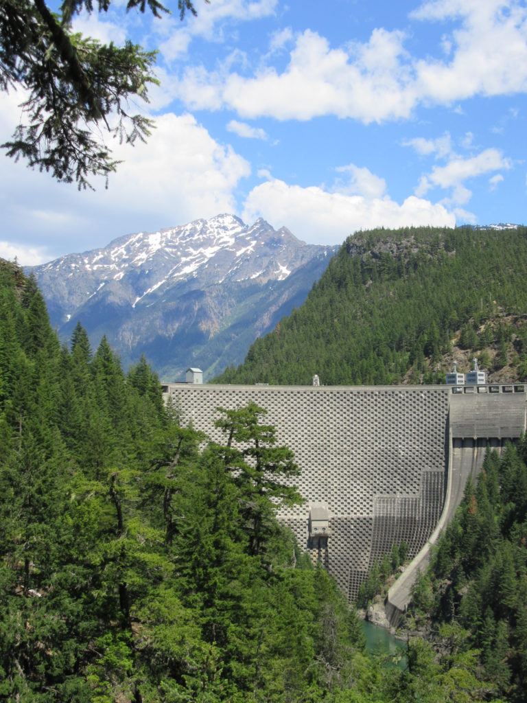
The trail then begins to descend. Pause at a clearing thanks to transmission lines and take in a fine view of Ross Dam and majestic Jack Mountain rising behind it. This is a good spot to turn around if you want to avoid a climb on the return; otherwise, begin losing 650 feet. Cross a series of creeks, one at the foot of an avalanche slope (dangerous in winter), and pass a spur with a close-up view of Ross Dam before coming to a neat suspension bridge spanning the Skagit.
Have lunch with the Canada geese on the grassy lawn before heading back. You may have some human company, too. During the summer months a passenger ferry run by Seattle City Light journeys up the lake to this point from docks near the trailhead. A nice option is to take the scenic cruise one-way (departs at 8:30 am and 3:00 pm) and then hike back to your vehicle.

For detailed information on this hike as well as many more along the North Cascades Highway, pick up a copy of my Day Hiking North Cascades (Mountaineers Book).
For information on where to stay and on other things to do in the North Cascades, check out Northwest TripFinder