Notch Pass–Hike through history over Quilcene Ridge
Location: Quilcene Valley, Northeast Olympic Peninsula
Land Agency: National Forest Service
Roundtrip: 8.4 miles
Elevation gain: 2,800 feet
Contact: Hood Canal Ranger District Olympic National Forest
Guidebook: Day Hiking Olympic Peninsula (2nd Edition)
Notes: Practice Leave No Trace Principles
Access: From Quilcene drive US 101 south for 1.5 miles turning right onto Penny Creek Road. After 1.5 miles bear left onto Big Quilcene River Road (FR 27) and proceed for one mile taking a right onto an unmarked dirt road (FR 27-010). Continue for 1.3 miles to the trailhead.
Good to Know: Kid-friendly, dog-friendly, historic, trail less taken
One of the quieter trails in the Olympic National Forest, Notch Pass is a hiker-only route that travels deep into history on its way up and over Quilcene Ridge. Retracing an old Native American route, the way was “upgraded” in the 1930s by the Civilian Conservation Corps. But by the 1960s, this lightly traveled trail was abandoned. In the 1990s however, Notch Pass was resurrected by a Forest Service Wilderness Crew, the Quilcene Ranger Corps and a Washington Trails Association (WTA) work party.
The way is steep, and there aren’t many views, but a hike to Notch Pass is a trip back into time with plenty of solitude. The trail starts off steep offering no reprieve until the pass. Much of Quilcene Ridge went up in flames in the 1930s. Fire-scarred cedars and charred snags attest to this past conflagration. A few window views out to Mount Walker and Hood Canal can be had in the thick forest. After relentlessly gaining elevation, enter the dark notch of a pass (el. 2,400-feet) in 2.1 miles. Now high on Quilcene Ridge, pass through a tunnel of tightly-packed trees to an old logging road.
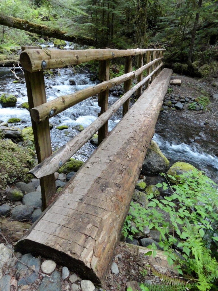
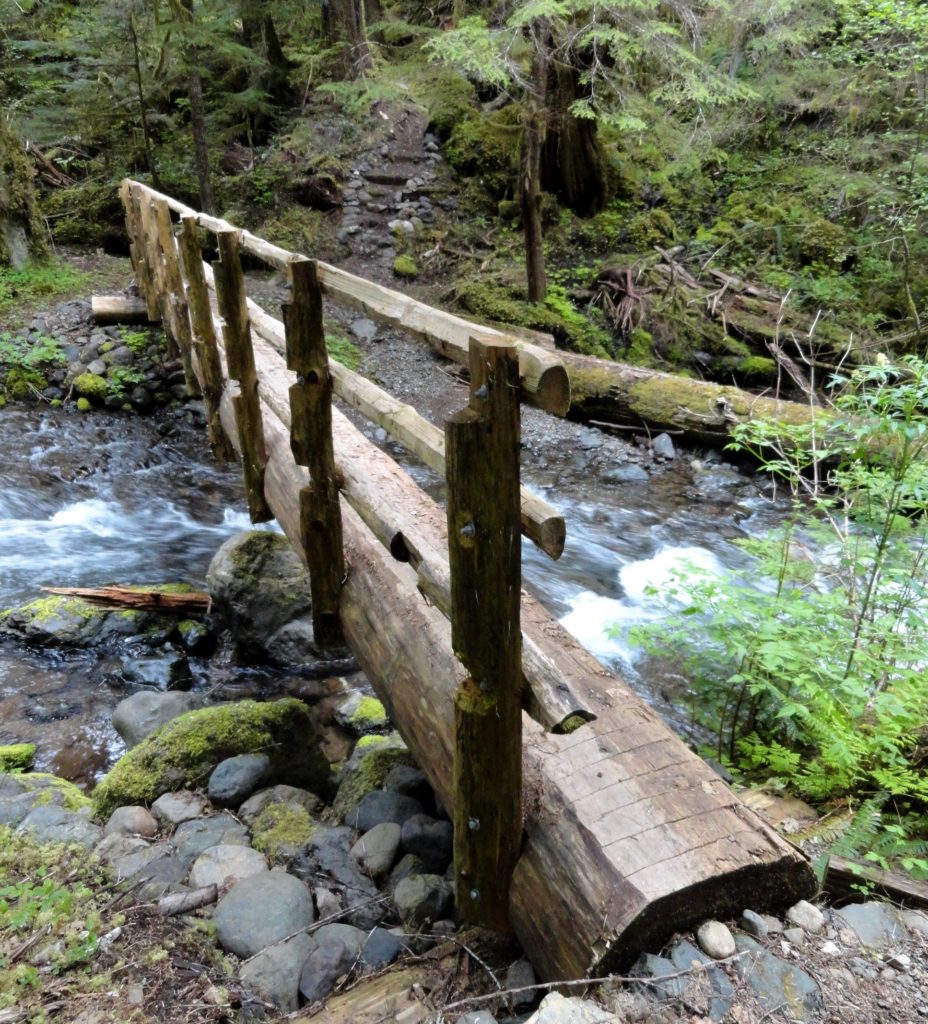
The best part of the hike is yet to come, provided you don’t mind losing nearly 1,000 feet of elevation and having to regain it upon your return. Cross the road descending through scree and a tight notch to FR 27 in about .6 mile. The trail resumes across the road to the right. Now, through a mixture of new and old-growth adorned in rhododendrons, the trail descends into the Townsend Creek Valley. Cross cascading Allen Creek before reaching a luxuriant ravine housing Townsend Creek and groves of old-growth. Cross it continuing on a rough and tumble last half mile to the Lower Big Quilcene Trail just above the new Bark Shanty Bridge, an ideal spot for resting before returning.
For detailed information on this hike and 135 others throughout the Olympic Peninsula, pick up a copy of my Day Hiking Olympic Peninsula (2nd Edition). It’s the best selling, most comprehensive, and trusted hiking guide to the Olympic Peninsula. Get your copy today and at the unbelievably low price of just $9.21!