Heart Lake– A perfect destination for a St. Valentine’s Day hike

Quick Facts:
Location: Fidalgo Island
Land Agency: Anacortes Parks Department
Roundtrip: 3.0 miles
Green Trails Map: Deception Pass/Anacortes Community Forest Lands No. 41S
Elevation gain: 160 feet
Contact: City of Anacortes Parks and Recreation; Friends of the Forest
Notes: Dogs must be leashed; some trails open to bicycles, horses.
Access: From Exit 230 on I-5 in Burlington, head west on SR 20 for 11.7 miles to junction with SR 20-Spur. Continue left on SR 20 and after 1.8 miles turn right onto Campbell Lake Road. Follow for 1.5 miles bearing right onto Heart Lake Road. Continue 2.0 miles to trailhead at boat launch on left.
Good to Know: dog-friendly, kid-friendly, snow free winter hiking; exceptional old-growth,
Practice Leave No Trace Principles

Grandest of the bodies of water within the 2,800-acre Anacortes Community Forest Lands (ACFL), Heart Lake has its paddling and fishing admirers. But hikers take heart for this heart-shaped lake’s finest feature isn’t its size; it’s its enveloping old-growth forest—one of the finest stands in the Puget Lowlands.
Heart-shaped and sitting in the heart of Fidalgo Island, this 60-acre lake makes for a perfect destination on St. Valentine’s Day. Hikers in love, longing for love, or lovelorn, all will love the wild nature of this hike located just minutes from bustling Anacortes. Hike through a stand of ancient Douglas-firs and western red cedars hundreds of years old and growing upwards of a hundred fifty-feet tall.

Trails nearly encircle the quiet lake making for a nice loop. From the boat launch head north on Trail no. 210 immediately passing several large Douglas-firs and soon reaching the first of many junctions. Bear left continuing on Trail no. 210, here an old woods road. There are over 50 miles of trails within the ACFL. A good map is necessary to help navigate its maze of paths
Cross Heart’s outlet creek enjoying good views out across the lake to 1,044-foot Sugarloaf, second highest summit in the ACFL. Bear left leaving the old road but continuing on Trail no. 210 and stay left again at the next junction continuing to the lake’s marshy southwestern cove.
At just over one mile bear left again (still on Trail no. 210) traversing magnificent ancient groves of giant cedars and firs. Reach Trail no. 212, turn left and shortly afterwards come to the Heart Lake Road. Now either walk the road (use caution) back to the trailhead or—better yet cross the road proceeding to the Sugarloaf trailhead and picking up trail no. 215. Walk a short distance and bear left onto trail no. 320 and start climbing. Bear right onto Trail no. 21; climb some more—then turn left onto Trail no. 313 and follow it downhill back to the trailhead to close the loop.
If your love for the outdoors is still burning—consider extending your hike on any of the radiating side trails.
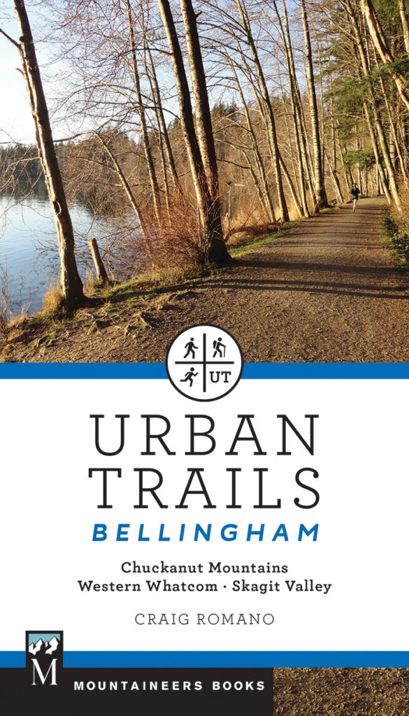
For more details on this hike (including maps) and many others in Anacortes, the Skagit Valley and Chuckanut Mountains, pick up a copy of my Urban Trails Bellingham!

For information on other things to do and places to stay in Anacortes, consult Northwest TripFinder