White River–Low country snowshoe adventure within the shadow of Mount Rainier

Location: White River Valley
Land Agency: Mount Baker-Snoqualmie National Forest
Roundtrip: up to 10.0 miles
Elevation gain: 700 feet
Green Trails Map: Greenwater No. 238
Contact: Mount Baker-Snoqualmie National Forest
Notes: Northwest Forest Pass; Parking can be a challenge when snowfall is heavy along roads. Do not park on road shoulders, or block access to substation gate and cabin driveways.
Access: From Enumclaw, follow SR 410 for 28 miles turning left (if no snow or plowed) onto access road for Camp Sheppard Boy Scout Camp. Reach trailhead in .2 mile. For South trailhead: From Enumclaw follow SR 410 for 32 miles turning left (just past Milepost 56) onto FR 7174. Park at (but do not block gate) power substation if snow level is below 3,000 feet; or continue .5 mile on FR 7174 to where road turns north away from cabins. Park here, being sure not to block road or cabins. Walk closed road .2 mile to trail.
Good to know: Kid-friendly, Dog-friendly, old-growth
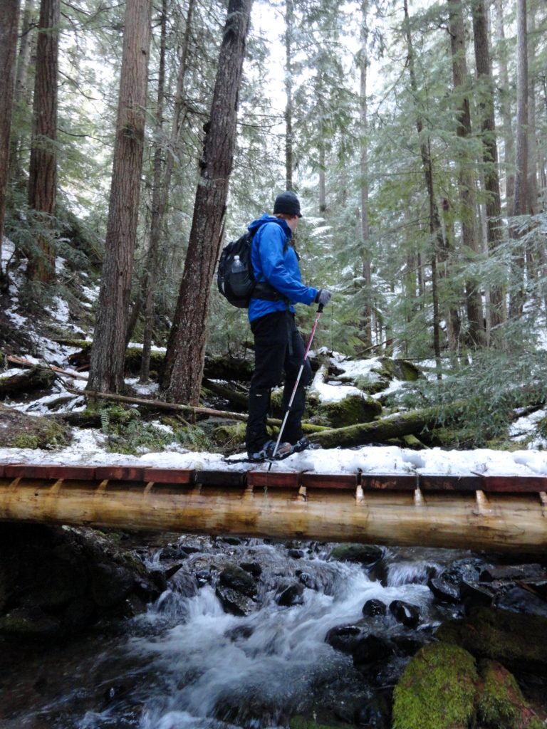
When snow levels are low and avalanche danger is high, the White River Trail makes for a great safe family-friendly snowshoeing route. You can enjoy miles of easy wandering through thick old-growth forests and by crashing mountain streams. Starting near The Dalles Campground, the White River Trail parallels SR 410 and the White River for nearly 5 miles terminating at the Corral Pass (FR 7174) Road.

You can access this trail from several spots, but the Camp Sheppard trailhead is the best for its ease of parking. From here, you can head north one mile on fairly level terrain through dark forest beneath the steep and formidable Palisades; before dropping 200 feet in .4 mile to SR 410. But the better option is to head south.
Following the trail southward from Camp Sheppard you’ll come to a junction with the Buck Creek Trail in about .5 mile. This trail leads right .2 mile to SR 410. Continue straight gradually ascending and staying above the highway and below the steep slopes of Little Ranger Peak.
The forest is attractive here with pockets of big old growth giants. At 1.8 miles from Camp Sheppard reach Little Ranger Creek and the Little Ranger Creek Trail. Feel free to wander a mile or two up this trail if you’d like traversing beautiful old-growth forest and enjoying the crash of the creek. After about two miles the trail climbs steeply and becomes much more challenging.

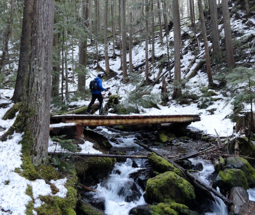
The White River Trail keeps going and it gets much more interesting, rounding steep slopes and winding through gorgeous tracts of ancient forest. At 3.3 miles, come to a junction with the Deep Creek Trail. This trail, like the others radiating from the White River Trail offers a challenging route for experienced snowshoers, leading high above the valley to Dalles Ridge.
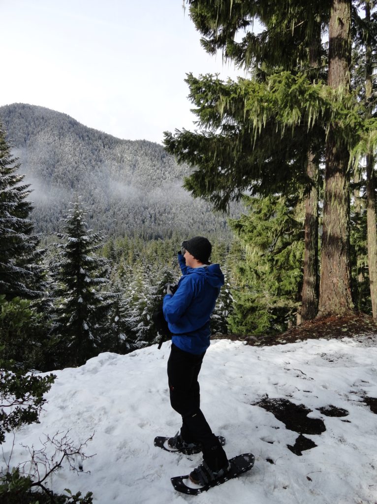
The White River Trail continues farther, crossing Deep Creek on a sturdy bridge and then rounding another steep slope. Look for a side trail veering right at this point and take it. The short spur leads to a nice view of the valley below. Notice the sun loving manzanitas growing along this south facing slope. And notice all of the elk droppings—this area sports a large herd of wintering elk, so keep your camera at the ready.
From here the White River Trail continues for a short distance to terminate at the Corral Pass Road at about 3.8 miles from Camp Sheppard. Now either turn around and enjoy the long slow descent back to your start—or if you still have some energy, you can either extend your trip one mile by hiking to Goat Falls or head up the closed to traffic in winter Corral Pass Road .4 mile to an excellent viewpoint.
Looking for snowfree hikes in Western Washington?

Consult my Winter Hikes of Western Washington deck.
Looking for places to stay and other great family-friendly things to do around Enumclaw and Crystal Mountain? Consult Northwest TripFinder.