Padilla Bay Dike Trail–shore fine hike in the Skagit Valley

Quick Facts:
Location: Skagit County
Land Agency: Padilla Bay National Estuarine Research Reserve
Roundtrip: 4.8 miles
Elevation Gain: 30 feet
Contact: Padilla Bay NERR
Access: From Burlington (exit 231 on I-5) proceed through roundabouts and head west on Josh Wilson Road for 6.4 miles. Upon entering the village of Bay View turn left onto 2nd Street and continue for 0.1 mile to the Skagit County Historical Society’s large parking area. Park here for the trail.
Notes: Dogs must be on leash. Be aware that adjacent bay lands are open to waterfowl hunting.
Good to know: kid-friendly, dog-friendly, exceptional bird watching, snow-free winter hiking,

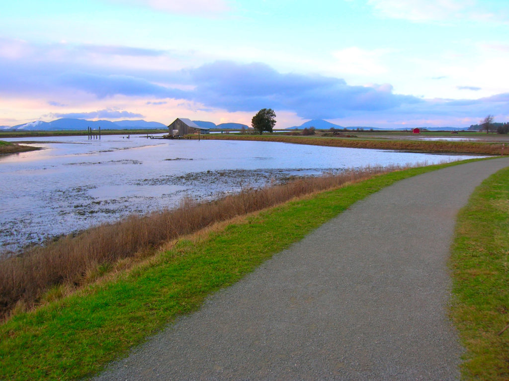
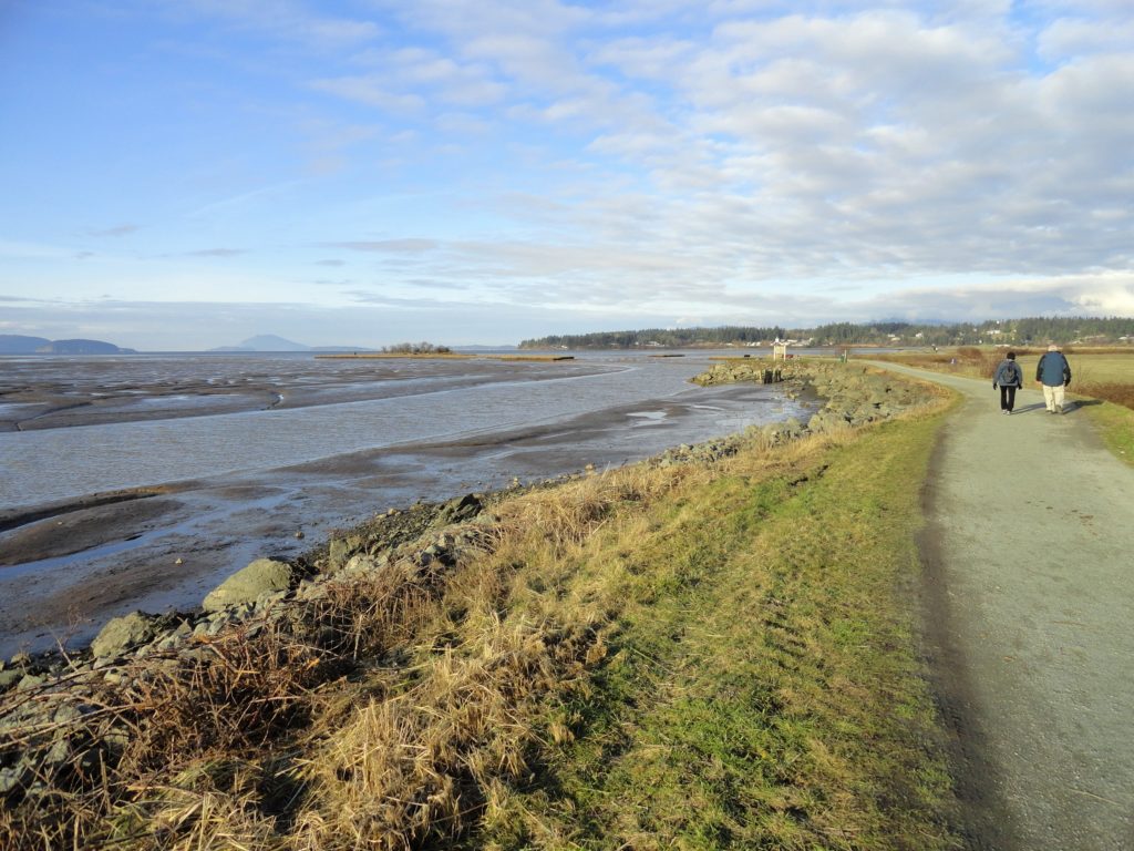
Take a hike through the Padilla Bay National Estuarine Research Reserve upon a snaking dike built by tenacious 20th century farmers. The 11,000 acre reserve was established in 1980 to protect extensive mudflats of eel grass. A birdwatcher’s paradise, the Padilla Bay Trail twists and turns along sloughs, tidal flats and salt marshes allowing you to scope out herons, eagles, falcons, dunlins, brants and scores of other winged residents. And aside from the profuse birdlife, you’ll be treated to unhindered views of surrounding mountains, islands, and farmlands from this delightful and level path.
Begin by walking back down 2nd Street and the Bay View-Edison Road for .15 mile to the Padilla Bay Shore Trailhead. The short drop in elevation from parking lot to trailhead is the only elevation change you’ll experience on this hike. Relax now and enjoy this perfectly level trail for the next 2.25 miles.
Developed in 1990 through the cooperation of a consortium of public agencies, this trail allows the best pedestrian viewings of the estuarine reserve. Established for research, education, and stewardship, Padilla is one of only 29 such reserves in the country. And while Padilla harbors some of the best remaining eel grass flats north of Willapa Bay, the area has been heavily influenced by agriculture and industry. Farmers have reclaimed thousands of acres of tide flats for croplands and a large oil refinery sits across the bay at March Point.

But the area still remains ecologically viable and incredibly scenic, especially during low tide, when nearly the entire eight by three mile bay is transformed into glistening mud flats and slithering sloughs. Hordes of herons harvesting succulent appetizers can often be observed. Be sure to cast your attention to the neighboring ‘drier’ grounds for song bird and raptor observations.
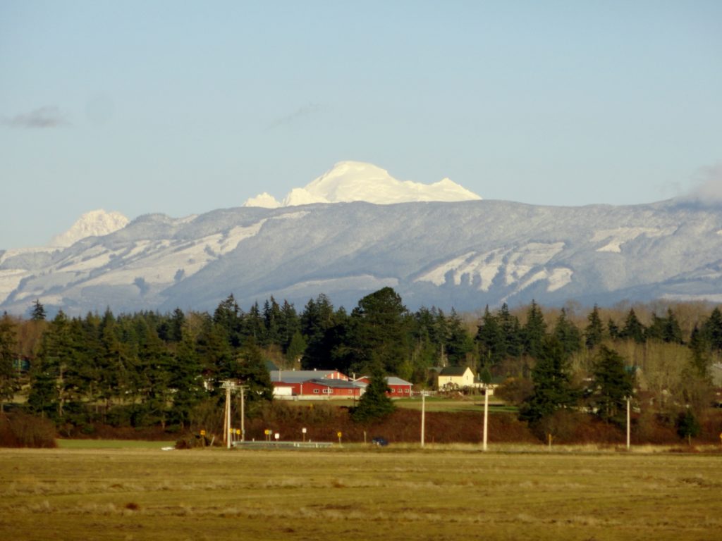
But if bird watching doesn’t ruffle your feathers, the surrounding scenery should still tickle your fancy. Islands dot the bay and across it, the conifer cloaked knolls; Sugarloaf and Mount Erie crown Fildalgo Island. Mount Baker rises above the countryside to the east and in the south, Mount Rainier hovers over the Skagit Flats.
In 1.8 miles you’ll approach a slough-side barn, a favorite spot among photographers. The trail then turns away from the mudflats, following snaking Indian Slough for its final half mile, terminating at its southern trailhead. From this alternative starting area (parking limited), begin your return, enjoying a new phase of the bay.

For more detailed information on this trail, and many others in the Skagit Valley and Western Whatcom County, consult my Urban Trails Bellingham guidebook. The book also has detailed information on all of the trails in the Chuckanut Mountains. Get your copy today!